
Towards Westwood Ho!
We resume the Coast Path at Peppercombe, having walked down from Horns Cross, and head towards the coast. Soon we have a nice view back showing Peppercombe Beach, another gravely one, and Clovelly (the white bit in the heavily wooded coast).


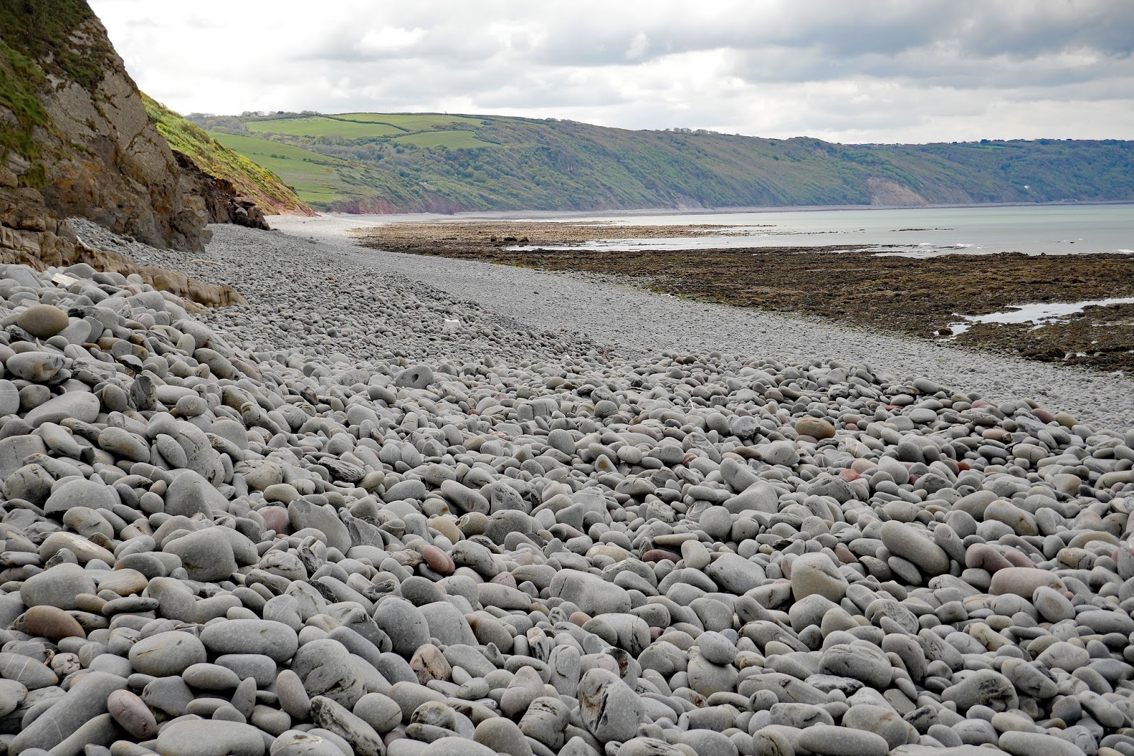
The path snaked back and forth to descend onto the beach. This is quite unusual on the Coast Path, usually there is a little bridge at the back of the beach which links the descending and ascending paths. The beach was very stony and had quite a lot of driftwood, which put us in mind of the driftwood-full beach we saw in New Zealand, Gillespie's Beach.

You can make your own mind up about the supposed resemblance.


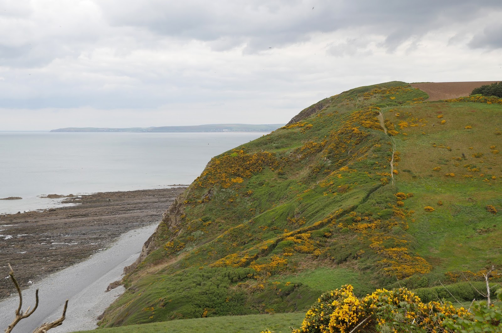
We duly made the steep climb up to the top and most of the rest of the walk laid itself out before us. We would descend to clifftop level and head along, with only minor climbs, to skirt the Kipling Tors on the outskirts of Westward Ho!

And so it was. I took a view of the impressive rock shelf.

As we approached Westward Ho! Increasing amounts of beautiful Sea Pink became visible. Once we rounded the Kipling Tors, we were there, passing car park, holiday park and so on. A helpful sign on the Pier House hotel explained that a 600 foot pier was opened nearby in 1871. Less than 3 years later it was badly damaged by a storm and subsequently dismantled. Rather poignantly, the original stanchions can still be seen.

The tide was out and a massive expanse of sand was visible stretching past the mouth of the estuary of the rivers Taw and Torridge and the length of Saunton Sands. This picture shows Baggy Point, just beyond Croyde Bay.

We were now in Westward Ho! – the only place in the UK to have an exclamation mark in its name. Apparently there is a town in Canada which has two exclamation marks: Saint-Louis-du-Ha! Ha!
Why Westward Ho!? The town was named after the novel of the same name by Charles Kingsley published in 1855. The book was a bestseller and entrepreneurs saw the opportunity to develop tourism in the area by effectively creating a new holiday resort named after it.
Conditions: cloudy and cool.
Distance: 5.4 miles.
Rating: Strenuous.
Map: Explorer 126 (Clovelly & Hartland).
Rating: four stars.
No comments:
Post a Comment