Showing posts with label Gloucestershire. Show all posts

Friday, 29 November 2019

Moreton-in-Marsh and Bourton-on-the-Hill

The Redesdale Market Hall

Another town-and-country walk with my friend Merv starting from the Caotwold town of Moreton-in-Marsh (note: not the Marsh). The town is essentially linear and we parked near the station and walked south along the wide high street to reach the Redesdale Market Hall, the town's main landmark. This charming building was designed by Sir Ernest George in 1887. I learn from Pevsner that the ground floor originally had an open arcade.

London Road, opposite, has the Mann Institute (1891) with a quotation from Ruskin inscribed over the door: "Every noble life leaves the fibre of it interwoven forever in the Work of the World".


We headed south passing the Manor House Hotel of 1658 and this interesting structure opposite Bourton Road.


I liked this 17th century lintel over another golden stone doorway.


We turned right passing the fire station and the town's new hospital. The building was rather spoilt by the blank square structure projecting from the back.


Soon we had left the town and were heading across very wet and muddy fields. There was at least a nice bit of residual autumn colour to brighten our way.


We squelched our way eastwards to eventually swing north and wander along a drive to reach the A44 and climb the hill to Bourton-on-the-Hill. On the left was the imposing Bourton House, rebuilt in the 18th century.


Just beyond it was The Retreat, almshouses of 1831.


Beyond that was the church of St Lawrence, Norman, but with 12th, 14th and later alterations.


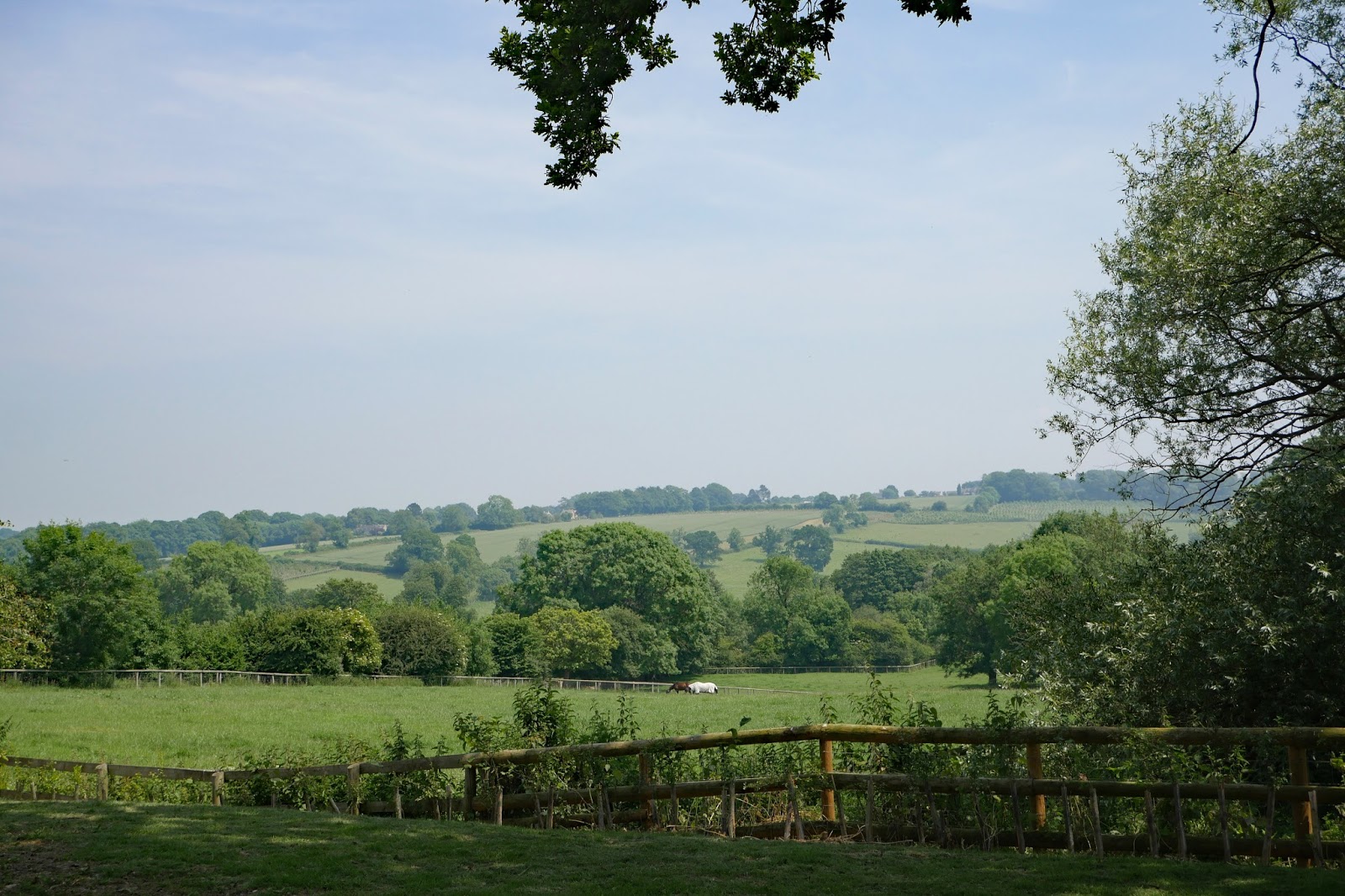
After a dismal lunch in the Horse and Groom Inn we retraced our steps down the hill and turned right at the church to head south across fields towards Sezincote House. There was a lovely wide open view.


The house was closed of course, but the path passed sufficiently close to get a good view. The house was remodeled in an Indian style from about 1805 by Sir Charles Cockerell who had made his fortune working for the East India Company. The interior is apparently classical rather than Indian.


After being driven off the track into a field by flooding we turned left and headed back towards Moreton along a nice firm path. As we got closer we were delighted, Merv especially, to notice these field strips, evidence of medieval farming.


Conditions: a lovely day, but wet underfoot.

Map: OL45 (The Cotswolds).

Distance: about 5 miles.

Rating: four stars. Interesting and varied.

Friday, 21 June 2019

Bourton-on-the Water


A nice little family day out to Bourton with our daughter and daughter-in-law and their babies. We headed from the car park towards the village passing the wonderfully named Old New Inn.


Soon we reached the wide shallow stream, the River Windrush, (the chap standing in the stream gives a clear indication of how shallow it is).


I found myself wondering if the river has always flowed in such a wide, shallow bed. It seems that it probably has, judging from the dates of the five bridges, a map of which can be found here. The picture below shows Paynes Bridge of 1776 and behind it the New Bridge of 1911.


Continuing along beside the river you come to the High Bridge (1756).


Just after this, on the left, is the splendid Victoria Hall, now a Fleamarket.


At the end of the main stretch is the Mill Bridge (see picture at the head of this post), the oldest one, dating from 1654.


We decided to explore a bit more and continued to find St Lawrence's church on the right hand side of the High Street. This very attractive church is now mainly Victorian, but has a 14th century chancel and a Georgian tower. I loved the skull and cross-bones over the tower entrance.


We saw a sign for the Warden's Way and decided to explore a little further, walking along a pleasant path with a school on the left. it joined a busy road however, so at that point we retraced our steps and went off to find somewhere to eat.


We discovered that the Warden's Way links the Oxfordshire Way at Bourton-on-the-Water and the Cotswold Way at Winchcombe. We have in fact walked both the Oxfordshire Way and the Cotswold Way, but made the link between them using another option, the Windrush Way.

Conditions: a very pleasant day.

Rating: four stars. A very enjoyable family day out.

Tuesday, 20 June 2017

Stow, Lower Swell and the Slaughters

The Market Square in Stow-on-the-Wold

Another town-and-country walk with my friend Merv, starting in Stow-on-the-Wold. We parked on the west side of the town and walked along Sheep St, pleasant and quite characterful, and then left to double back towards Stow's centre, the Market Place. The market cross has a medieval base, but the shaft and cross itself are late Victorian.

The most intriguing building is St Edward's House to the right of the Cross in the photo above, and in close up below. It has a lovely facade, but we struggled to guess its date. I learn from Pevsner that it is early 18th century.


Proceeding in an anti-clockwise direction we come to the 15th century stocks in a quiet corner.


In the centre of the large square is the Town Hall, St Edward's Hall which dates from 1878.


We had a brief look at the 13th century St Edward's Church as we ate a couple of delicious cakes from the wonderful Patisserie Anglaise, which would be a reason in itself to visit Stow. But as it was so bakingly hot, we modified our original plan of walking there and drove to nearby Lower Swell (once called Nether Swell) to start the country part of the walk.

It is a pretty, typical Cotswold village, with houses mainly of Cotswold stone. I was delighted to discover from Pevsner that the war memorial was by Sir Edwin Lutyens.


We headed south, walking uphill along the road and forking left onto the Heart of England Way. There was soon a lovely view rolling hills to the left.


As we walked along, a large mansion emerged from the trees on the left.


We reached Hyde Mill and entered an area of flower meadows, inevitably not as rich as recently seen in the Alps, but still lovely and swarming with Meadow Brown butterflies.


After this we were joined by the Monarch's Way and followed this across fields to reach the edge of the wonderful village of Lower Slaughter, where we paused for a cold beer in the village pub. The stone houses along the Slaughter brook are very attractive.


At the 19th century flour mills, with its picturesque water mill we bore right, now aiming for Upper Slaughter.


In the hedgerow behind the mill we were delighted to spot a Garden Tiger Moth. I confess I struggle a bit with moths, they just don't inspire me in the way that butterflies do, but this one is a splendid creature.


We followed the path beside the stream to Upper Slaughter, passing to the Lords of The Manor Hotel (once simply the Manor House, built by the Slaughter family in the sixteenth century).


The village itself contains a jumble of Cotswold stone houses. One of the strengths of the Cotswolds is that it is often hard to tell the age of a building because they are all in a similar style. The low tower of St Peter's church can be seen in the background.


We walked along a lane for a while and turned right into a field to rejoin the path we had come out on and walk back to Lower Swell.

Conditions: very hot.

Distance: about 6 miles.

Map: Explorer OL45 (The Cotswolds).

Rating: four stars.

Tuesday, 21 March 2017

Tewkesbury

Tewkesbury Abbey

The Abbey is Tewkesbury's greatest attraction, but there is lots else to enjoy. I am here to explore the town with my friend Merv/ We park near the Abbey, on a car park with warnings of its propensity to flood, and head there straightaway.

The first impression of a great, mainly Norman building and it was indeed started in 1087 and consecrated in 1121. The abbey was founded in 1107 before the completion of the church. The East end clearly has Gothic additions and these date from the 1400s.

Inside the Norman columns are solid and monumental, almost devoid of capitals. The centre rib of the roof has bosses representing the life of Christ.


Heading straight down the nave you come to the crossing, whose roof has a wonderful pattern of lierne vaults.


Beyond it lies the Quire with an even more astonishing roof. The lierne vaults here are overlaid with Yorkist badges of the sun in splendour. These commemorate the Yorkist victory over the Lancastrians at the battle of Tewkesbury in 1471.


The abbey was restored by Sir George Gilbert Scott in 1875-9 and his proposals so outraged William Morris that he founded the Society for the Protection of Ancient Buildings in protest.

Emerging into daylight, the next delight was the Russell Almshouses. They were founded 1674, rebuilt in 1831, modernised between 1958-1960 and re-instated in 1989. I have found nothing on why they were reinstated. Quite a pleasing group however.


Heading further west we came to the Abbey Gatehouse. It dates from the 15th/16th century and was restored in 1849. It is not very imposing.


We headed now towards the River Avon - this section is known as the Mill Avon. And here is the Abbey Mill, a flour mill which opened in 1865.


At the point we headed away from the river to join the High St and immediately noticed a number of impressive timber-framed buildings with large (larger than usual, we thought) jetties. This one, now a branch of the Halifax Building Society was especially good.


On the right, further along, was the first of many alleys for which the town is known. Merv thought they were related to the existence of long burgage plots (long but narrow pieces of land in a town). Such plots were often separated by alleys.

Back on the left hand side was the rather bijou Town Hall, built in 1788, enlarged about 1840 and altered in 1891 - and now the home of the Town (rather than Borough) Council


We now made another foray towards the river to see the imposing, but sadly derelict, Healings Flour Mill of 1865.


We returned again to the High St and turned left into Mythe Road, passing the closed down Old Black Bear pub. Being the oldest pub in Gloucestershire doesn't seem to have been enough to keep it going. Further along we crossed the Avon and admired the enormous 1930s pumping stations which try to manage the complicated water flows stemming from Tewkesbury's position where the Avon and the Severn converge.


Walking back we could see, the lock gates on the left, the small channel which joins the two.


We returned along Mythe Rd and turned right into the High St, taking a left to get a closer look at this rather striking church. It is Holy Trinity of 1837 by Ebenezer Trotman.


We reached Barton St and turned right to head back to the car along Church St. This street was distinguished by this exceptional terrace of half timbered houses. I have never seen anything like it.


Pevsner says that they were probably built by the monks of the abbey, and are therefore pre-Reformation, to let to tenants in the town as a speculative development. They would then be "one of the earliest surviving examples of uniform medieval town development".

Conditions: bright at first, becoming a bit greyer.

Distance: maybe three miles.

Map: Explorer 190 (Malvern Hills & Bredon Hill)

Rating: four and a half stars. An excellent day out.

Thursday, 11 June 2015

Oakridge to Sapperton

Strawberry Banks nature reserve

At last, a lovely sunny day to go butterfly spotting. I wanted to see something new and learning from a recent unsuccessful trip to Lydlinch Common in Dorset, I decided to visit a site where Dave Collins had tweeted that they had recently seen the rare and declining Marsh Frillary. This was the Dorset Wildlife Trust's Strawberry Banks site near Oakridge. A bit of further research established that the Trust had other reserves nearby and that the one at Daneway Banks on the edge of Sapperton was a site where the Large Blue might be seen. I planned a walk linking the two sites.

I walked south from Oakridge following the Wysis Way (a new one on me, it runs from Offa's Dyke to the Thames Path) for a short distance before taking a right to follow a downhill track to emerge at the top of one of the two meadows which make up Strawberry Fields. It seemed quiet at first but within a couple of minutes a small orange butterfly took flight and then landed again: it was a Marsh Frillary. My quest was accomplished just like that.


Gradually, I started to see more and more Marsh Frillary, along with my first Marbled White, Meadow Brown, Small Heath, Large Skipper, Small Blue and Common Blue of the year. This brought my disappointing total for the year to 20 species. Must try harder!

I particularly liked this pristine Large Skipper.


Eventually I found the will power to leave the the exquisite Marsh Frits and walk (very slowly) through the second field to rejoin the Wysis Way. This headed downhill to reach a minor road and then met the derelict Thames and Severn Canal at Baker's Lock. The lock was almost unrecognisable as such and the canal was sadly overgrown with rushes.


 After a while I came to this handsome bridge, with the date 1784 engraved on a stone over the arch.


Passing more locks I passed through the pleasant woodland of Siccaridge Wood (also Gloucestershire Wildlife Trust) to emerge at the Daneway Banks reserve. There were no Large Blues unfortunately, although I did see some Common ones. 


I briskly walked the two miles back to Strawberry Banks and was pleased to see many more Marsh Fritillaries, including this mating pair, who didn't however seem to have quite figured out the right position.


Eventually I managed to drag myself away. It is really clear that if you want to see a new species you have to go to the right place at the right time!

Conditions: hot and sunny.

Distance: about 5 miles.

Map: Explorer 168 (Stroud, Tetbury & Malmesbury)

Rating: four stars.