Wednesday 23 October 2019

Wantage

King Alfred's School

Another walk with my good friend Merv. In fact it is two walks: a circular walk from Wantage passing through Letcombe Regis, East Challoe and Cove, and a walk around the town itself.

We parked at the Beacon art centre and walked a short way along the road to pass the original King Alfred's School, which dates from 1849–50. From here a path led us towards open country which we crossed to reach the pretty village of Letcombe Regis. We we were very struck by this lovely half timbered house of 1698.


And also by the handsome Old Rectory opposite. I couldn't quite get a photo however. Nearby was the church of St Andrew. The tower is 12th century and other parts were restored or rebuilt in the 15th and 19th centuries.


We followed a narrow track with a lovely view across fields to typical downland countryside.


We turned right onto another track, along a short section of road and then along Cornhilly Lane to reach and then follow the former Wilts and Berks Canal. It was completed in 1810 (so late in the canal era) with the purpose of allowing coal to be shipped from the Somerset coal fields to the towns of Wiltshire and Berkshire. It went into decline only 30 years later with the advent of competition from new railways.

The first section of the canal was dry and required some imagination to recognise it as a canal.  At a crossing road we found this fine old building, we think once a forge but now converted into housing accommodation.


Continuing along the same line, the next section of canal had water in it, although covered by green algae. A new housing estate was just beyond the hedge on the left.


At the end of this section the canal side path was briefly diverted on account of a new housing estate. This did mean we saw a flock of Goldfinches - a lovely sight.

The estate was one of several built on the former airfield at Grove. An emblem of the airfield was this de Haviland Venom, a fighter-bomber introduced in 1951. I have no great interest in aircraft, but I was surprised by how modern it looked. It was only in service until 1962.


We now followed a network of paths through the outer areas of Wantage to reach the area known as the Wharf (the Wilts and Berks Canal once terminated nearby). This was once an industrial area and it was interesting to see that two mill buildings still remain.


We walked up Mill Street passing a set of Almshouses dating from 1868.


At the top of the road we passed the former Town Hall, currently being restored, and entered the oblong Market Place to start our town walk - which we decided to do in reverse order. The detailed route can be found here. The main item of note in the Market Place is the statue of Alfred the Great,  although Merv greatly enjoyed the massive second hand bookshop in a sort of arcade at the far end.


You might wonder there is a statue of Alfred here, and the answer is that he was born in Wantage. The statue was the work of Count Gleichen, Prince of Hohenlohne-Langenburg and was unveiled in 1877. The battleaxe in one hand and the manuscript in the other attest to Alfred's prowess as a warrior (victory over the Danes at Ashdown in 871AD) and to his education and statesmanship.

We headed down Grove Street passing the interesting Georgian Clock House


At the top we continued along the road and then turned right and right again to pass through a housing estate which was suddenly revealed to have the 18th century former stables of Stirlings House tucked away in it.


Now down to Post Office Lane to find the attractive Eagles' Close Almshouses of 1867.


Nearby in Newbury Road were the Stiles Almshouses of 1680. Their founder was Robert Stiles, a merchant ... of Amsterdam.


We then went along Church Street to see the 13th century church of St Peter and St Paul, which was sadly closed.


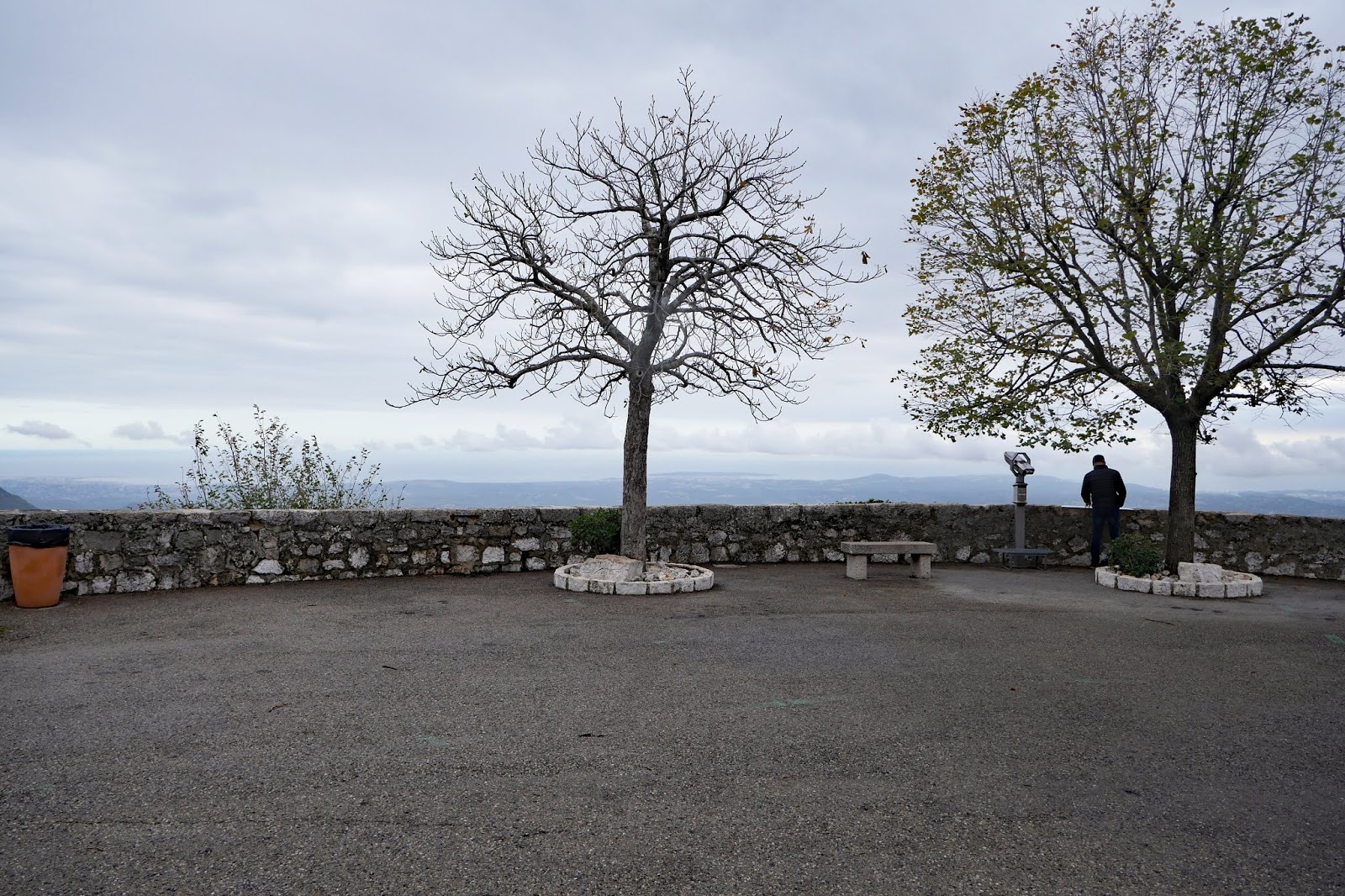
It was a short walk from there to the Beacon.

Conditions: quite mild, but mainly cloudy.

Circular walk distance: about 6 miles.

The walk route can be found here.

Map: Explorer 170 (Abingdon, Wantage and Vale of White Horse)

Rating: four stars.

Friday 18 October 2019

Le Bar sur Loup and Gourdon

The gorge of the Loup

For our second walk near Grasse we followed another path from the RandOxygene guidebook: a circular one from Le Bar sur Loup to Gourdon (where we were yesterday). The plan is that you walk to a point below Gourdon then climb up to the village, have a look around and then climb back down to the circular route and continue on back to the beginning. Since we saw Goudon yesterday, we just settled for a circular walk.

Bar sur Loup is a very pleasant village, a bit larger than Gourdon. The main square faces the church, with a belvedere behind it. The picture above was taken from the belevedere - you can see the source of the Loup in the middle of the picture about a third of the way across from the left.


The wonderful statue is of the Comte de Bar, who was born in Bar and later fought in the American War of Independence. Nearby is the base of the castle keep or Donjon, now a bistro.


The walk starts from the cemetery and you walk gently uphill passing the Chapel of St Claude, a 16th century crypt restored in the 20th century.


You continue uphill to join a long-distance path – the GR 51. Gourdon can just be made out on its hilltop, almost lost in the low cloud. You climb steadily, soon hitting a surprising section with a rocky path and woodland on both sides.


Emerging from the woodland, there is fine view down to the valley below. The stone columns in the valley bottom are all that remains of the Pont du Loup, a railway bridge built in 1880 and blown up during the Provence landings of 1944.


 Soon there is a slightly better view of Gourdon. The building on the right is the well named Eagle's Nest.

After a while another bridge can be seen down below in the Loup valley.


Then there is a mysterious cellar with two entrances and stone walls. I can't find out anything about it.


At the point at which the path up to Gourdon begins, we begin a long descent, passing a number of examples of beautiful autumn colours.


This is quite arduous and slippery, but eventually we emerge onto a road, which was apparently once the route of a railway line, presumably the one which went across the Pont du Loup. We were getting a bit tired by now and foolishly turned the wrong way along this road. It was easy walking along the flat surface and so it didn't do us too much hard. We also got an unexpected close up view of the river Loup emerging from the mountain: the Saut du Loup.


Continuing along the road in the right direction now and crossed the bridge we saw from afar earlier in the walk.


Soon we reached the outskirts of Bar and not long after that we were back at the car park by the church.

Distance: officially 6.5 km

Change of level: officially +520m and -520m

Time taken: officially 3.5 hours.

Source: RandOxygene Guide for the coastal area (Pays cotier) of the Department of the Alpes Maritimes. Free from the Tourist Office in Grasse. Two other guides are available for other parts of the Department.

Rating: four stars.

Thursday 17 October 2019

Gourdon and the Plateau of Cavillore

Gourdon

On the second day of our brief visit to Grasse we have found a lovely walk from the edge of Gourdon, a very pretty hilltop village 760m above sea level. The panorama from Gourodn etends from Nice to Théoule and under the right conditions it is possible to see Corsica. Gourdon has been rated as one of the Most Beautiful Villages in France.

The walk starts at a car park at the edge of the village. You follow the road which leads to Caussols and soon take a right which leads to a tarmaced road which winds through an area of scattered houses. You take a right and begin to climb. The path soon becomes quite rocky, but before long gives you a good view of Gourdon (see above).

As we climbed higher along a switchback path, the sun came out and provided a second view of the village from a higher position and with the sun on the houses.


As we left the village behind, I was struck by what seemed to be a newly planted wood.


We climbed steadily until we were under a rocky massive, with a lone hang-glider cruising around on the thermals.


A narrow path through the rocks brought us to the Plateau of Colliore. This was the view back.


Ahead there was a wild stony area which looked rather barren and uninviting, not least because the clouds were thickening and the temperature dropping.


We trudged across the plateau and were not sorry to quite quickly reach one of the spectacular signposts that France specialises in and to turn left towards the edge of the plateau again.


The route down from the plateau was easier than the way up, but there was still a zig-zag path to negotiate.

At the bottom, we crossed the road and followed a track which led us past the Chapel of St Vincent.


Not long after this we rejoined the Caussols road and followed it past the car park to the village. There is in truth not a lot to it. Behind the 12th century church of St Vincent there is a great belvedere ...


 ... with lovely views over the valley below.


Otherwise the picturesque streets twist and turn, filled with tourist shops – but not many tourists at this time of year. We quite liked this cast iron statue of Medusa on the corner of the church.


Distance: 5.3 km

Change of level: +300m and -300m

Time taken: 2.5 hours.

Source: RandOxygene Guide for the coastal area (Pays cotier) of the Department of the Alpes Maritimes. Free from the Tourist Office in Grasse. Two other guides are available for other parts of the Department.

Rating: four stars.

Wednesday 16 October 2019

Grasse

 
Pink umbrellas in rue Jean Ossola

We are in France to celebrate the 70th birthday of our friend Arlette, who lives in Vence. We decided to come a few days early and explore Grasse and the area around it. Today's walk around the town was fairly slavishly based on the Heritage Trail (Circuit Patrimoniale), obtained from the Tourist Office.

We are staying just outside the centre and so the first stage was to walk down a step and lengthy flight of about 200 steps towards the centre. Grasse is located on a very hilly site and as most roads follow the contours, staircases offer a direct route. This is the view looking back - you can see only about half the steps.


As we approached the centre were were taken by this lovely yellow house, which reminded us very much of one we used to admire in the old town in Nice.


The walk proper begins in the pleasant, but cramped, Place aux Aires. Once upon a time it was a wheat threshing ground,  surrounded by battlements. Later a canal flowed through it. If you look behind you before heading on, there is a beautiful Hotel Particulier - we would probably say Mansion.


We headed through the square and at the end of the next street turned right into rue Jean Ossola, where the rather lovely pink umbrellas can be seen. It seems they were installed for Expo Rose and seem to have just been left in place.

We made a detour to go and see the Perfumery Museum (Musée International de Parfumerie). We thought this rather charming building was the entrance ...


 ... but it turned out to be the Gift Shop!

The museum traces the development and role of perfume from ancient Egypt, Greece and Rome. What we now think of as perfume was used at various times to prepare the dead for the afterlife, as incense in religious ceremonies, as medicine and to disguise lack of personal hygiene (notably in the 18th century when it was thought that contact with water could allow germs to enter the body). By comparison, the displays of modern perfume bottles and packaging were a bit boring.

Grasse was once a centre for leather making, notably gloves which were sold in Italy during the Renaissance. The only problem was that they smelled bad - this was the stimulus for the foundation of a perfume industry. The evolution of the various techniques was presented, and this 19th century photo gave a very vivid image of what it was like to work in a perfume factory.


We returned to rue Jean Ossola, which becomes narrow and winding, as befits the main street of medieval Grasse. We turned right into Rue Gazan which led us to Place du Petit Puy and the 13th century Cathedral, built in the Provençal Romanesque style.


Opposite was a beautiful art deco war memorial.


 And to one side a substantial tower.


Sadly the Cathedral was closed, so we didn't see the paintings by Rubens and others, but passing to its left we came to Place du 24 Août where there was a nice viewpoint, with views extending as far as the sea.


Now down some steps to reach the Place de l'Evêché, where we paused for a drink under the former Archbishop's Palace, now the Hôtel de Ville.


We headed along Rue de la Poissonerie and into the maze of small streets to reach Rue de L'Oratoire, where we found, at number 12, a medieval house with a bossage facade (i.e. covered in stone bosses).


Found the corner is the Chapel of the Oratory. It was built in 1632, the portal and gothic window of the former Cordelier church were later incorporated in the facade. It seems that the Cordelier church became redundant and was used as a perfumery and later as a branch of Monoprix.


From here were returned to the Place aux Aires and from there walked to the rue du Peyreguis to photograph this elaborate facade which seemed to belong to a former theatre.


Conditions: warm and sunny.

Distance: probably no more than a mile from the official start.

Rating: three and a half stars.