Wednesday 25 December 2013

Blewbury

Blewbury

Unusually, we weren't cooking a conventional Christmas dinner and so we decided to have a refreshing walk on the Berkshire Downs, starting from the pretty village of Blewbury. Although it was raining as we drive over there, soon after we arrived the clouds blew over and the rain ceased and we had a lovely short walk up onto the downs and back

We parked in front of the newly-defunct pub on the main road (A417) and followed a path opposite soon passing through paddocks to begin a steady climb up to the downs. As we climbed, Baldon Hill and Riddle Hill were visible on the left.


We joined Woodway Rd and passed some farm buildings before turning left to walk beside some gallops, soon reaching the strangely named Oven Bottom.


We had hopes of doing a circular walk, but the absence of a right of way and the increasingly late hour (we may not have been having a traditional Christmas lunch, but we still were having lunch) led us to decide to retrace our steps. This is the view towards Blewbury with Didcot Power Station on the left.


Conditions: sunny and bright after the rain stopped.

Distance: just under four miles.

Map: Explorer 170 (Abingdon, Wantage and the Vale of the White Horse).

Rating: three stars. It was great to get out and feel the sun. next time I think we might try a linear walk across the downs to East Ilsley.

Thursday 19 December 2013

Froxfield and Little Bedwyn

Somerset Hospital, Froxfield

A clear day after some indifferent weather and I decided to construct a walk starting from the village of Froxfield, just west of Hungerford where there are some fine almshouses I wanted to see.

I parked by the church of All Saints which dates back to the 12th century, with alteration in succeeding centuries and a reasonably restrained restoration in 1891-92 (the wooden bell turret is the most evident change).


From here I walked down to the Hospital which is on the main road, the A4. It was founded in 1694 by Sarah, Duchess of Somerset for 20 clergy and 30 lay widows. She was the wife of the 4th Duke and was a noted philanthropist, being buried in Westminster Abbey.

The hospital was enlarged in 1775 and in 1813 the imposing Gothick gateway was added.


Inside there is a vast and spacious rectangular quadrangle with a chapel, also of 1813, in line with the gate.


I carried on along the road and turned right to cross the railway bridge and the Kennet and Avon Canal, which here follows the valley of the small river Dun. I now followed the towpath to Little Bedwyn.

The first thing of note was the canal bridge I had just crossed reflected in the still water of the canal.


The second lock I encountered involved a massive change in the water level.


In Little Bedwyn the 12th church of St Michael looms on the other side of both canal and railway.


I walked up to the pub and then took a field path to begin the return loop. This took me across several fields to reach  road which I followed past Stype Stud to climb a hill and then turn into the grounds and  park of Stype Grange. I can't find anything out about it other than that it seems to be a listed building.


Behind the house the OS map shows the Long Walk, a very pleasant avenue, lined initially with silver birch. There are some nice glimpses of the Dun valley through the trees.


At the end of the Walk I exited the park and followed a very minor road back down to the A4 and Froxfield.

Conditions: blue sky and sunshine for the most part, just clouding over towards the end.

Distance: about 6.5 miles.

Map: Explorer 158 (Hungerford and Newbury).

Rating: three and a half stars.

Sunday 8 December 2013

Princes Risborough to Kingston Blount (The Ridgeway 4)


We picked up the route on the edge of Princes Risborough and initially walked along the A4010 before turning right onto the Icknield Way and crossing a vast newly ploughed field. After skirting a golf course we noticed a deer farm to the left.


As were climbing towards Lodge Hill we started to enjoy fine the view back towards Windsor Hill and Princes Risborough shown in the photo at the head of this post.

Lodge Hill is a long narrow spit of land almost 200m above sea level and offering an interesting view to the left (south west) ...

... and a spectacular one to the right (north east).


The route carries on to the north east, across fields, skirting a wooded hill top.


After a lovely undulating sheep meadow, you enter woodland (The Warren).


You soon leave the wood and descend to turn left and head south west along a bridleway shared with Swan's Way (which coincidentally I travelled on earlier in the week at Ewelme in Oxfordshire). And at about this point we entered Oxfordshire ourselves.

You pass below Chinnor Hill and follow a wide, straight muddy track, which has the feel of a dismantled railway, past a series of chalk pits, with Oakley Hill behind. This one had a claim to be a blue lagoon.

Another mile or so brought us to the crossing road which led to Kingston Blount where we had an enjoyable lunch in the Cherry Tree pub.

We wondered about the unusual name of the village and the Oxfordshire Villages website reveals that it is derived from an estate or manor belonging to the king but occupied by the Le Blund family in the 13th century. Blund is an old Norman name meaning blond.

Conditions: bright and sunny.

Distance: 6.3 miles (24.6 covered so far).

Map: Explorer 181 (Chiltern Hills North) and 171 (Chiltern Hills West).

Rating: three and a half stars. 

Friday 6 December 2013

Ewelme

 St Mary's church

The rare prospect of a sunny day inspired me to visit Ewelme to see the celebrated almshouses and walk on the downs. I found a nice route on the Wallingford Welcome website and parked as directed at the small car park by the recreation ground. From here I walked in to the village to first of all see the church.

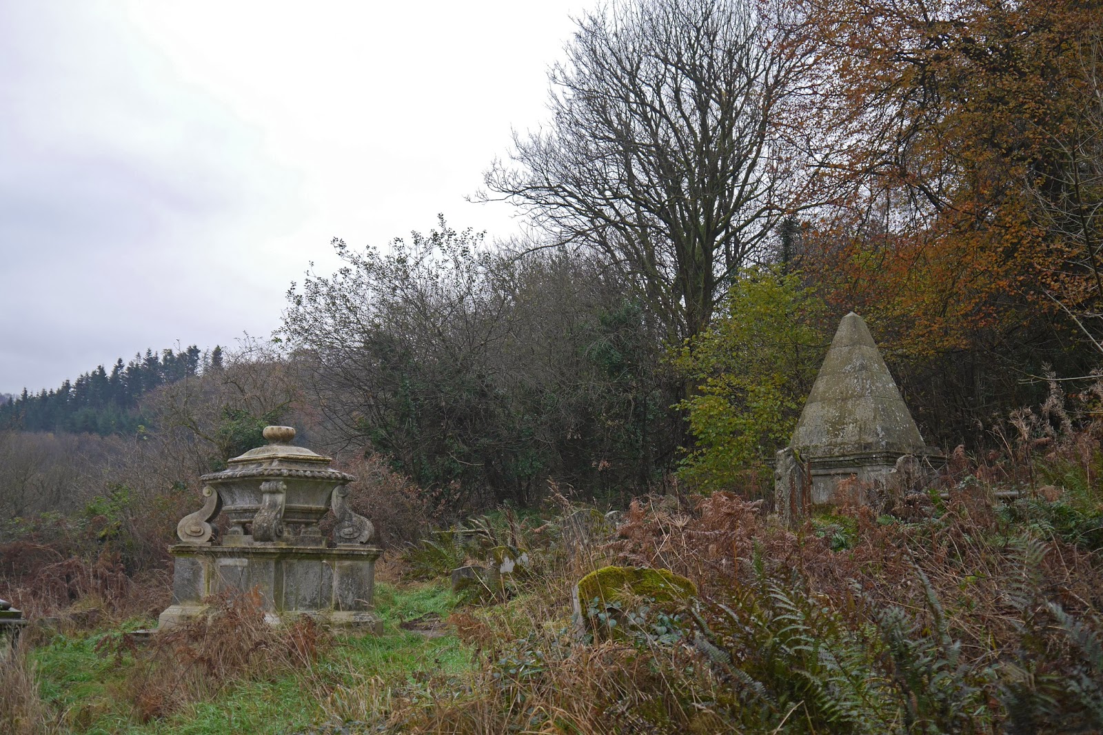
It dates from a rebuilding of about 1432, although the early 14th century tower is from the earlier church. It was founded by Alice Chaucer, grand-daughter of the poet and WIlliam de la Pole, Earl (later Duke) of Suffolk. The grave of the novelist Jerome K Jerome (Three men in a boat) is in the churchyard.

You can look over the churchyard wall to see the facade of the almshouses, founded in 1437, also by the Earl and Countess. You follow a winding path downhill to find the entrance.


This leads you through a garden, and then through the castellated arch you can see in the picture above, to the entrance to the almshouse proper. According to Pevsner the almshouses are unusual for being one of the earliest brick-built buildings in Oxfordshire. The elaborate arch with its trefoil pattern is similar to brickwork of the same date in Bruges and may have been the work of a Fleming.


The House of God, as the almshouse is called, is also notable for being one of the earliest examples of an almshouse being built on a collegiate plan around a quad. The quad is surrounded by a lovely cloister.


Next to the almshouse is another fascinating building the (C of E) primary school which also dates from 1437 and had the same benefactors. It is thought to be the oldest primary school currently in operation. The massive chimney breasts, which also function as buttresses, are imposing.


Now back to the car park to start the rural part of the walk. You follow a section of the Chiltern Way across a plateau, with a vast pig farm on the left. After half a mile or so there is a descent down to a lane, with the splendidly named Sliding Hill ahead on the right, with Lower Farm further to the right.


You follow the road for a while and take a right shortly before the hill, now following Swan's Way south for about a mile and half beside large fields. Eventually, with a shallow winding valley joining from the left, you turn right, still following Swan's Way.


Where this reaches the road from Wallingford and turns left, the walk route goes ahead on a small path, but I remembered I had noticed a fine view of Ewelme at a point to the right so I detoured to take a picture. For some reason the picture I took didn't really do justice to it, but there is a very pleasing group of buildings (the one on the right is the Georgian Old Rectory).


But what is Swan's Way (not to be confused with Swann's Way by Marcel Proust)? From Wikipedia I learn that it is a 65 mile route from Salcey Forest in Northamptonshire to Goring on Thames, designed primarily for horse riders. A useful blog, Pete's Walks, gives more information. But who was Swan?

Departing the Way, I followed a couple of footpaths to enter the village of Ewelme to join the definitive The Street. Turning right would complete the walk by passing teh school and returning to the car park, but I was so much enjoying being our in the fresh air that I decided to complete my tour by turning left and seeing the remainder of the village. The highlight was the King's Pool, with the 1826 village Store beyond.


I returned to the car via the church and many more fine old houses.

Conditions: bright, sunny, quite warm.

Distance: the walk route was 4.5 miles and I did another mile or so wandering round the village.

Map: Explorer 171 (Chiltern Hills West).

Rating: four stars.

Wednesday 4 December 2013

Guildford

The Royal Grammar School, Guildford

We met up with our friends Viv and Giles for this walk around Guildford. Giles attended the Royal Grammar School some years ago and so the walk featured a tour of parts of it. An extension of the walk to St Martha's Church had to be postponed until next time because of our late arrival and the indifferent weather.

We started the walk at St Nicolas church just across the bridge over the river Wey. There has been a church here since the 14th century, but the current incarnation dates from 1877 and is the work of S S Toulon. Pevsner thinks it is "ugly, but good and urban", whatever that means.


Inside, the west end has an extravagant font with a marvellous canopy ("ugly, but genuine, like the church" says Pevsner.) The wall behind is covered by a wonderful mural painted in 1893 by Joseph Pippet. Pevsner doesn't even mention it and one can suppose he must have been having bad day when he visited.


Just beyond the church in Bury Street are Caleb Lovejoy's almshouses of 1838. A two storey central building is flanked by two single storey ones, all with elaborate barge boards. The chimneys of the central building have very elaborate brickwork.


We crossed the river and walked up the High St, turning right to visit St Mary's church, whose tower is from the 11th century, predating the Norman conquest. Most of the rest dates from about 1180 and is transitional in style between Norman and Gothic. We could only go in as far as the Christmas card shop unfortunately.


From here it is not far to the ruins of the Norman castle, a huge 12th century keep.


We now headed towards the High St, reaching it opposite the Guildhall. It dates from the 14th century and was extended in 1589 and re-fronted in 1683, when the wonderful projecting clock was added.


Further up the High St is the remarkable Abbot's Hospital, an almshouse founded by George Abbot, the Archbishop of Canterbury, in 1619-22. The massive gatehouse is reminiscent of earlier buildings such as Hampton Court Palace or St John's College Cambridge.


The gatehouse leads to a small quad - you could be in almost any Oxbridge College.


A little further up the hill is a statue of the great man, a local boy made good.


Soon after that we reach the Royal Grammar School, founded in 1509 and given a charter by Edward IV in 1553. On our tour we saw the actual charter in the headmaster's office which also contains a rare library of chained books (we saw one of the other three such libraries in Wimborne Minster a couple of years ago). As you enter from the High St, you go through into a small quad - a curious echo of Abbot's hospital.


It was now becoming dusk and my companions felt a need for tea. I decided to carry on exploring and headed along nearby Chertsey St and into Stoke St to locate another set of almshouses I had read about, the Parsons' Hospital of 1796. It was by now quite dark and I have my camera's excellent ability to cope with low light to thank for this picture. The plaque under the central gable explains that it was given by the brothers William and Henry Parson.


Conditions: grey and cloudy at first, but becoming brighter.

Distance: three miles, including my detour at the end.

Rating: four star. Some really lovely buildings - and great fun too.

Sunday 24 November 2013

Tintern

Tintern Abbey

We were guided by cousins Ruth and Jon on this fascinating walk from the imposing ruins of Tintern Abbey. The abbey was founded in 1131 and is the second oldest Cistercian abbey in the Britain (only Waverley in Surrey is older). The original buildings would have been austere, but the church whose remains you now see is the result of a grand reconstruction which began in 1269. By the time the abbey was dissolved in 1536 it was the wealthiest in Wales.

We walked away from the abbey, crossed the road and climbed up to more ruins, those of St Mary's church built in 1866 to replace a medieval chapel and burnt down in 1977.


The sloping churchyard contains some impressive 18th and 19th century graves.


A series of narrow paths led us through scattered houses and we especially liked the oriental statues on the gateposts of one of these.


We entered some nice beechwoods on one slope of the Angidy River valley ...


... and descended to a small bridge over the river.


This river valley developed as an important industrial centre from the late 16th century and there were numerous water-powered works along its route. The most conspicuous now is the abbey bast furnace, where the location of the water wheel is readily identifiable.


We walked up through Buckle Wood to a hamlet marked on the map as Fairoak and then along the road and across fields to reach the Gare Hill WT station at 260m above sea level. There was a great view, unfortunately very grey and hazy today, down over the Severn, with both the Old and the New Severn bridges clearly visible.


We retraced our steps and now enjoyed a splendid view towards the Wye valley.


As we descended towards the valley we passed the tiny church of St Mary's at Penterry. The walls are medieval but the porch and bellcote are the result of a Victorian renovation. On the north side there is a medieval leper window, a lancet at a low level that allowed lepers to view services without coming into contact with other members of the congregation.


After crossing some fields, we descended through Limekiln Woods, soon passing the eponymous lime kilns. These ones were used from the 1700s until 1902.


Scrambling up the bank of the sunken track allowed me this view of the abbey as we approached


We also saw this intriguing and mysterious fungi.


And finally some mummers (?) were performing outside the Anchor Tea Rooms, which provided an unusual end to a very interesting walk.


Conditions: cloudy, grey, cold.

Distance: 5 miles.

Map: OL 14 (Wye Valley & Forest of Dean).

Rating: four stars