Showing posts with label barn. Show all posts

Thursday, 15 September 2022

Sissinghurst

We are fulfilling a long-held wish to visit Sissinghurst. There was a house here in Saxon times, but what you see today (notably the Tower) dates from the 16th century and later. During the Seven Years War (1756-63) it was used as prison camp for captured French sailors and thirty years later as a work house for the poor.  New owners made improvements in 1839, but much of what you see today was the work of Vita Sackville-West and Harold Nicholson who bought the castle in 1930. They laid out the gardens and and transformed the stables into the Long Library.

You go through the archway ...


.... and are immediately confronted by the Tower. We climbed up the steep spiral staircase, passing Vita's writing room, and emerged onto the top of the tower.


 There is a great view looking back towards the Long Library, with the Oast Houses in the background.


There is also a nice view of a section of the gardens.


Returning to ground level, we explored the grounds ...

... and some of the lovely Gaura flowers, a new one for me.

Then we headed off for refreshments, passing the Elizabethan Barn on our way.


And finally, as we departed, we had a good close up of the handsome Oast Houses.


Thursday, 16 May 2019

Lymington to Buckler's Hard (Solent Way 2)


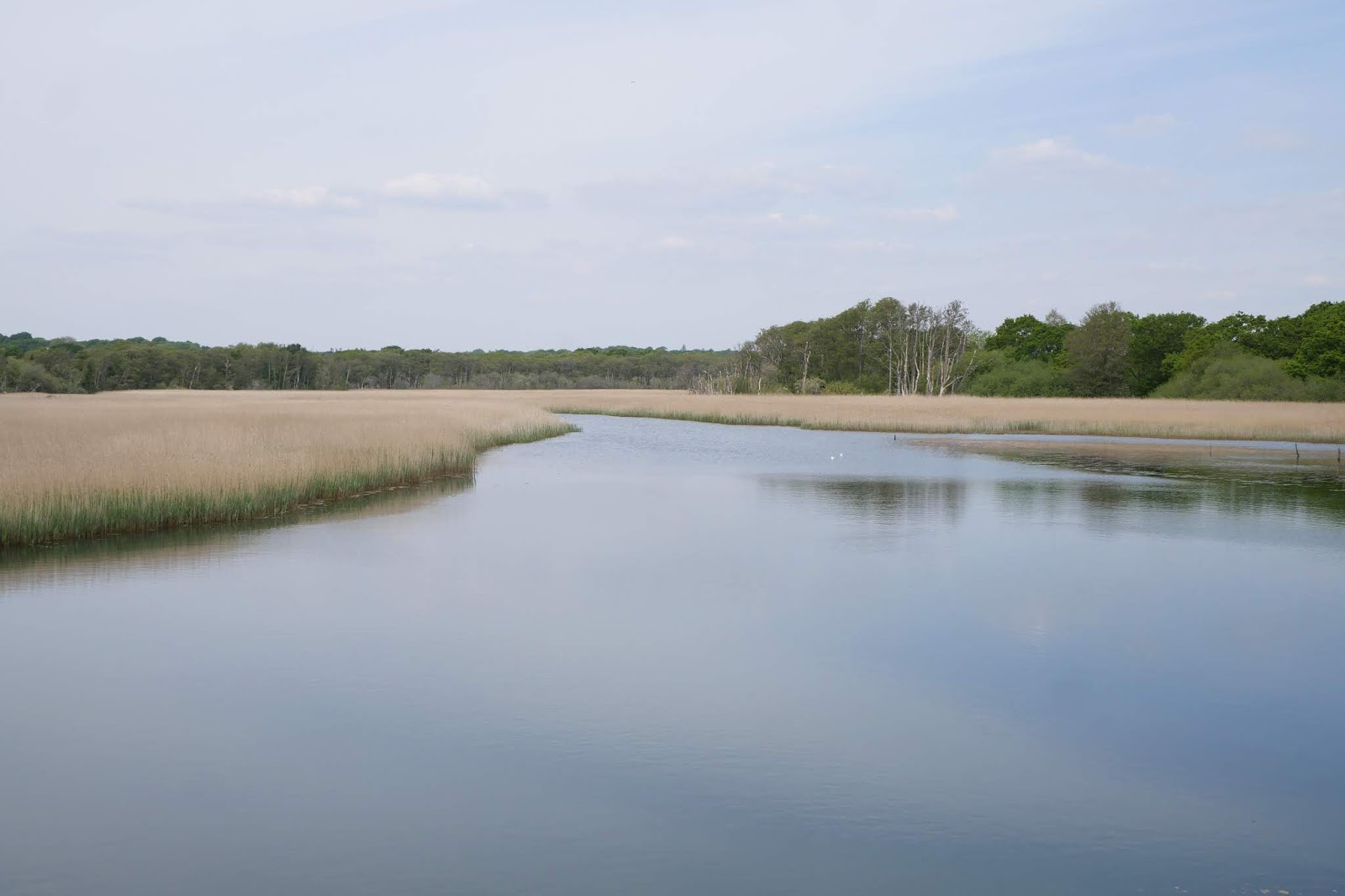
We set our from Lymington Town station and walked up to and across the bridge across the Lymington River, which even a short way from the Solent is largely full of reeds (in fact it forms the Lymington Reed Beds Nature Reserve). On the bridge we were amused by a sign saying "Otters crossing. Drive slowly" - sadly we didn't see any.

We turned right on the far side and soon left along a track which led, surprisingly, to this monument - to Admiral Sir Harry Burrard-Neale, MP who died in 1840 after a distinguished career.


We turned right and then left to head eastwards along a track through woods. When these thinned out we had our first view of the Solent, still somewhat distant.


We emerged onto a road and passed an entrance (not, I think, the main entrance) to Pylewell Park, a 17th century Manor House.


We followed the road a bit further and then turned left to enter the Park along a track, still heading east. Initially we followed  field-edge path, but eventually an open area gave us a glimpse of the house.


Beyond this we passed the cricket ground and then a pleasant fishing lake.


We left the Park along a lane and then followed a path across fields, with a further distant view of the Solent to the right.


Soon after, we joined the long Sowley Lane, passing the extensive Sowley Lake.  Rather to our surprise, we then completed the walk wholly on minor roads. We gradually realised that much, or possibly all of, the land belonged to the Sowley Estate and there were no rights of way over it. Still, the roads were flat, quiet and well-maintained, so it wasn't too much of a hardship

In due course we came to St Leonard's Barn.  It is hard to make sense of at first, but what you are seeing is a massive 14th century barn, with a smaller 16th century barn (with the orange roof) built inside it. The original barn, when complete, was probably the largest in Britain, being some 70m long by 33m wide.


We followed the lanes to reach Buckler's Hard, which we will explore next time.

Conditions: cool at first, turning quite warm.

Distance: 8 miles.

Map: Explorer OL22 (New Forest).

Rating: three and half stars. It was rather strange being so far from the Solent that we only had occasional glimpses of it.

Friday, 25 November 2016

Bradford-on-Avon

The Saxon church of St Lawrence

We had driven through the pretty town of Bradford-on-Avon, built on a hillside, and today offered an opportunity to have a full exploration. We initially followed the Town Walk, which can be downloaded here. It starts, very conveniently, at the large car park by the railway station. You turn right out of the car park into Frome Road and are immediately confronted by the Men's Almshouses of 1700. The former Women's Almshouses are on the right, seemingly now a pub.


We carry on past a playing field and turn right at the canal which brings us to the impressive 168 foot long Tithe Barn which dates from the 14th century.


We pass by the front of the Barn and cross the River Avon over Barton Bridge to climb up to Barton Orchard. This is an ancient packhorse way and many of the houses were later used by weavers. The handsome building at number 3 is an 18th century clothier's house.


the Saxon church of St Laurence lies a short way from the end of Barton Orchard, opposite Holy Trinity. The story of the church is quite interesting. It was rediscovered in 1856, having been converted to a school and cottage. It was restored twenty or so years later. It is noticeably small, but high. The narrow opening between the nave and the chancel is especially striking.


We continued along Church St and followed it to the left on meeting the river again. On teh left is the fine 18th century Abbey House.


And further long is the early 16th century Old Church House, now the Masonic Hall.


Church Street ends at the junction with Market St, where on the corner is the Catholic Church.


This looks like no church, Catholic or otherwise, that I have ever seen. I was reassured to discover from Pevsner that the building was once the Town Hall. It was designed in 1855 by Thomas Fuller of Bath, on, as Pevsner says, a scale excessive for Bradford. It became the Catholic church in 1955.

We crossed the road and walked through the Shambles, enjoying a nice cake and a drink at one of the several cafes. We emerged back on the main road through the town and walked across the Town Bridge. Midway along the bridge there was a nice view of the Avon with the imposing Abbey Mill on the right bank. It was built as a cloth factory in 1857. In the early 19th century Bradford had no less than 32 cloth factories (Pevsner).


On the far side of the bridge stands a curious small building known variously as the Chapel, the Blind House and the Lockup - the last naming its true role. We saw a simpler version of the sane thing in Heytesbury, Wiltshire, only a few weeks ago.


We turned right on the far side and could now see the bridge itself. It is essentially 17th century, although there are two 13th century arches.


This is effectively the end of the Town Walk (you just follow the river back to the car park). We decided instead to explore the Kennet and Avon Canal and headed initially south east towards Widbrook. At the start we were thrilled to see a late Red Admiral. We were struck by the large number of narrow boats moored by the canal side, many of them lived in.  This was a particularly pleasing view.


We doubled back and followed the canal east from Bradford to Avoncliff, along a narrow valley. It was rather extraordinary: the river followed the foot of the valley, as you would expect, while to canal followed the same line but along the side of the slope. You could look down on the river from the towpath.

This was a really lovely section to walk along and at Avoncliff the canal suddenly took a sharp right turn and crossed over the river valley on an impressive, but not very high, aqueduct built by John Rennie before 1804.


There was a lovely view back up the river from the far corner of the aqueduct, showing the water mill, which is clearly undergoing restoration of redevelopment.


We retraced our steps, and then took a path to the left down to the river whose banks we followed back into Bradford.

Conditions: a wonderful sunny day.

Map: Explorer 156 (Chippenham & Bradford-on-Avon).

Distance: all told we walked about 7 miles.

Rating: four stars. Delightful and full of interest.

Monday, 7 March 2016

Old Basing

Oliver's Battery

This week's one sunny day - so out for a quick local walk in Old Basing, starting at the recreation ground. Off to the left is Oliver's Battery, where siege guns were set up during the Parliamentarian assault on Basing House, of which more below. Originally, it was the site of a Norman motte-and-bailey castle.

Turning left along The Street you soon reach the 15th century brick-built St Mary's church, with an nave and two aisles of seemingly identical proportions.


Inside, I very much admired the dramatic Angel of Peace by John Hayward, 1971.


Not far away is the entrance to the ruins of Basing House. It was built on the site of another Norman castle by Sir William Paulet, later the 1st Marquess of Winchester. Paulet was appointed Lord Treasurer in 1550 and his house was said to be as large and magnificent as Hampton Court Palace. As there is next to nothing left of Basing House, here is a picture of Hampton Court, to give an idea.


Basing House was a Royalist stronghold during the Civil War and was under siege from the Parliamentarians from 1643 until its fall in 1645. It was afterwards ravaged by fire and looted and it seems that bricks were taken to be reused in other buildings in the neighbourhood..

You enter through the 16th century Garrison Gate ...


... and very soon cross a bridge. Looking down, you might think this was a moat, but in fact it was a section of the 18th Basingstoke Canal, which by chance I walked along recently near Dogmersfield.


Over to the right is the large Walled Garden, seemingly an 18th century recreation of a 16th century garden.


The site of the house is a circular mound with a ditch round it and a viewing platform at the back. This is the view and it gives some sense of a number of buildings tightly packed inside a high brick wall.


I did a full circumnavigation and then left by the Garrison gate, continuing along the road to the Great Barn, one of whose adjoining buildings now houses the Visitor Centre and ticket office for Basing House.


This is the second fine barn I have seen in Recent weeks, and although it is not as impressive as Great Coxwell, it is still an imposing structure.


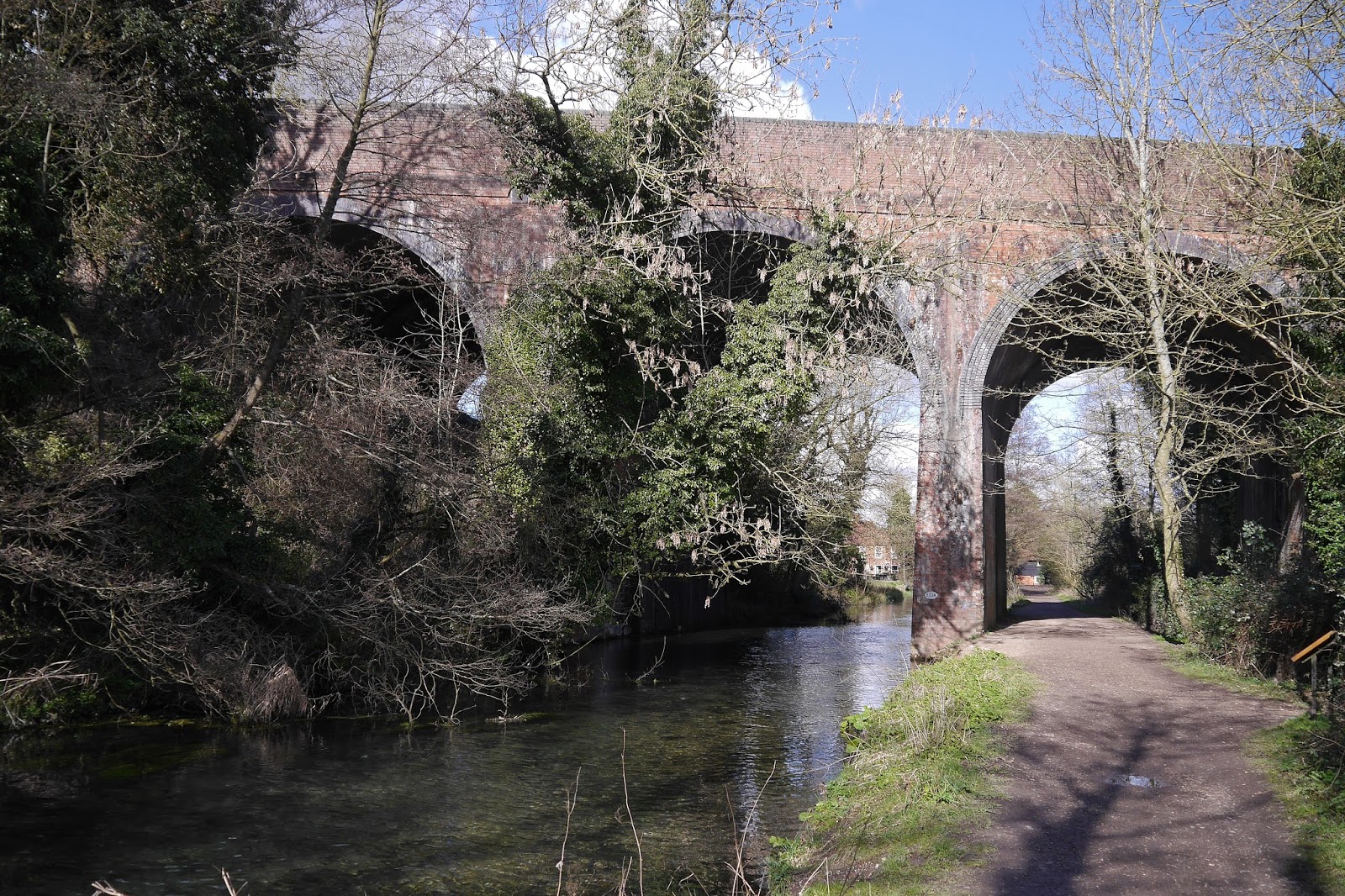
The route now goes along the bank of the infant River Loddon, which rises somewhere nearby, and under an imposing railway viaduct. 


After the Millstone pub, the route continues across an area of common to reach The Street and the start of the walk.

Conditions: a lovely sunny day, quite fresh.

Distance: 3 miles plus the exploration of Basing House.

From: Walks into History: Hampshire by Robert Wood (Countryside Books)

Map: Explorer 144 (Basingstoke, Alton and Whitchurch)

Rating: four stars. Full of interest.