Showing posts with label WiW. Show all posts

Sunday, 15 January 2012

Hawling to Bourton-on-the-Water (Windrush Way 2)

The Windrush Way

Our next project with Merv and Pud is the Oxfordshire Way. Today was the second stage of the Windrush Way which links the Cotswold Way (last year's project) with Bourton-on-the-Water, where the Oxfordshire Way begins. We picked up the route near Hawling Lodge.

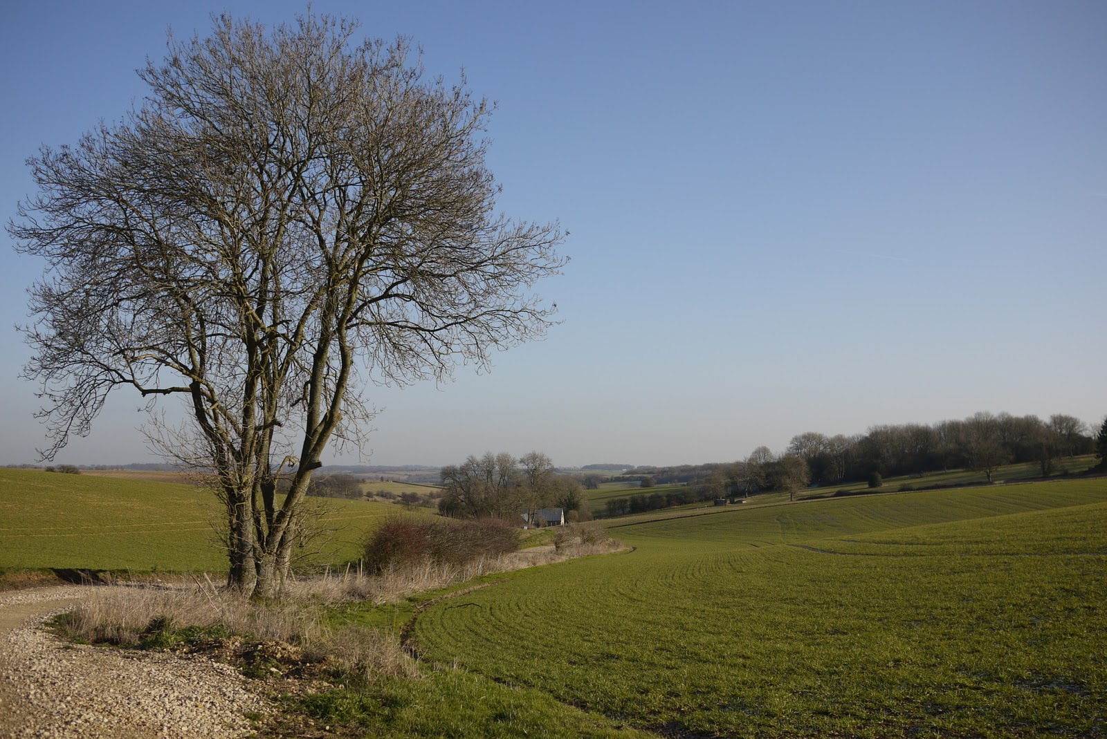
We walked across a field and then along one side of a narrow valley. At the end we turned south to walk through Gazeley Wood and then across fields almost to the A436. Here we turned east once more across the wide open valley in the photo above.

We passed a clay-pigeon shooting centre (must try that some time - not as a substitute for killing animals, of course). Then the valley began to narrow.


Somewhere round here we found ourselves on the Gustav Holst Way which runs the 35 miles from Cranham to Wyck Rissington and apparently connects places where Holst lived and worked. He was born in Cheltenham and the house is now a Museum to him.

Now at last there was enough of the River Windrush for us to be able to walk beside it for a while.


Later, we were forced away from the river again and climbed through woodland to then descend and rejoin it after a mill, and soon thereafter come to the edge of Bourton-on-the-Water. To the right we noticed a couple of solidly constructed railway arches and the route of the railway is very clear on the map: it was the  Banbury and Cheltenham Direct Railway.

The route into the town delightfully follows the right bank of the river and emerges opposite this imposing Georgian house, Harrington House. Pevsner describes it as "by far the most splendid house in the village" and dates it to about 1740. He comments on the "wonderful golden ashlar", which clearly continues to shine.


In the very centre, the river is crossed by three low bridges, with the Green on one side and lovely golden stone houses, mostly 18th century, all around. No wonder it is so popular!


Conditions: cold, sunny - rather wonderful.

Distance: 7.5 miles.

Map: Explorer OL45 (The Cotswolds).

Rating: fours stars. The country part was maybe not as special as the previous leg, but Bourton was a delight.


Sightings

We were pleased to see these fine Snowdrops. Looking back through this blog, I see that the earliest I have previously commented on Snowdrops was 27 January.


I wish I could master the technique of focusing successfully on white flowers!

Sunday, 13 November 2011

Winchcombe to Hawling (Windrush Way 1)

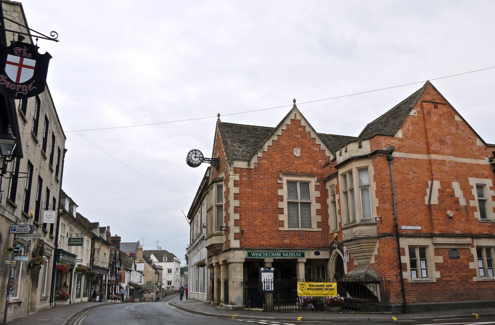
Winchcombe

Last month we completed the Cotswold Way with Merv and Pud. After some research and discussion, we decided to do the Oxfordshire Way next. We are all really looking forward to this, but it struck me that it would nice to join it up to the Cotswold Way - and that this could readily be done by walking from Winchcombe to Bourton-on-the-Water, where the Oxfordshire Way starts. We studied the map and saw that we could leave Winchcombe on either the Wardens Way or the Windrush Way. We decided on the latter, as offering a more lowland route.

The great discovery, made as I started writing this post, is that the Windrush Way is a short self-contained 14 mile walk which simply connects Winchcombe and Bourton. How neat is that?

We set off from the centre of Winchcombe, avoiding the Rememberance Day ceremony, and headed across fields soon to pass close by Sudeley Castle. It looked a lot less perfect from close up (I took a nice photo from a distance when we left Winchcombe on a different angle during the Hailes Abbey to Cleeve Hill leg of the Cotswold Way).


After leaving the surrounding parkland, you pick up a track which meanders through a wide valley bottom, with an imposing ridge to the left. As it started to climb, we looked back at the route of the Cotswold Way climbing towards Belas Knap. We were glad today's walk was less demanding.


Further up the track, we paused again to look back towards Winchombe: Sudeley castle is in the centre, and the town and church tower are to the left.


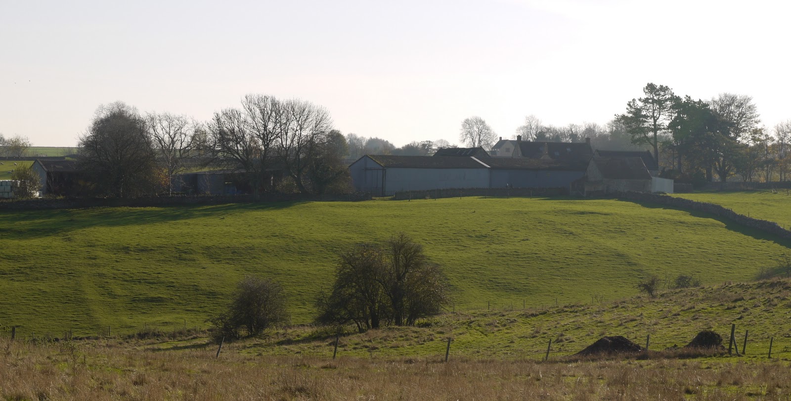
We passed the wonderfully-situated Spoonley Farm and emerged onto the Hawling-Winchcombe road, which we followed for a while.

We took a right to head south towards Hawling and noticed a clear change in the countryside. Now it was more like downland, with several narrow V-shaped valleys heading to the east.


We turned east  just before Hawling and could see the site of the medieval village of Hawling marked on the map: the line of the former streets is clearly visible. (Well, it was once Merv pointed it out.)


We ended the walk near Hawling Lodge, but not before we had spotted a fairy ring.


Conditions: mild, sunny - rather wonderful for the time of year.

Distance: 6.5 miles.

Map: Explorer OL45 (The Cotswolds).

Rating: four stars. Wide open spaces. Still the Cotswolds, but very different from the Cotswold escarpment.

Sightings

Still a few butterflies about: we saw a Red Admiral and a Peacock.