Monday 29 August 2011

Goring Heath and Mapledurham

Clover field at Goring Heath

A Sunday walk from home, something we don't seem to have done much lately. This walk starts from the old Post Office in Goring Heath. You initially head off past two large fields of clover, grown for animal feed presumably. The individual flowers are easily passed by, but they are very attractive.

The route then passes through woodland to emerge briefly on to the A3074. You then double back through the grounds of Cane End House to walk through what was once a vineyard, but is now just a meadow.

You pass through the hamlet of Nuney Green and pass Whittles Farm, before quite suddenly emerging on a hillside looking down towards Mapledurham House, with the North Hampshire Downs visible on the horizon.


After descending, you follow a farm road along the valley bottom past the aptly named Bottom Farm. As you approach Mapledurham House you swing right along a track and just before the lodge to Hardwick House, you take a path back up the hillside. Apparently, Charles I played bowls here.

After a short, sharp climb we sat on the benech helpfully placed at the top to enjoy the lovely view over the Thames at Mapledurham Lock, with the house away to the left.


The route now leads through Bottom Wood, skirts the hamlet of Collins End and returns you to the old Post Office. Bottom Wood is a bit of a puzzle since most of is on a ridge at about 100m above sea level.

Conditions: warm, hazy sunshine.

Distance: 5 miles.

From: Rambling for Pleasure around Reading by David Bounds for the East Berks Ramblers.

Map: Explorer 159 (Reading, Wokingham and and Pangbourne).

Rating: three stars.


Reflections

We previously did this walk in May 2005. It was interesting first of all to notice how selective my memory was of its key features. I could vividly recall the steep descent to the bottom near Mapledurham House and equally clearly recall the steep climb back up out of it. The rest was a complete blank.

The very pleasing thing was that the descent and subsequent climb seemed much less of a challenge now than in 2005 and we accomplished them very easily. All those heroic efforts on the South West Coast Path are clearly starting to pay dividends!


Flower of the day

We saw several of these Clustered Bellflowers on the chalky hillsides.

Wednesday 24 August 2011

Wimborne

Wimborne Minster

After the excitement of two walks along the South West Coast Path in recent days, we thought we wold have a gentle exploration of Wimborne and were delighted to find this walk on the AA website.

The walk begins to the north east of the town at a car park near the Eye Bridge over the Stour. You start by walking across meadows towards the town. This is a view of the river looking back towards the bridge.


Once in the town, you walk along West St to reach The Square - quite attractive and dominated by the 18th century King's Head Hotel, but busy with buses, cars and taxis - and then walk down Church St to reach the Minster.

This fine church is essentially Norman inside and Gothic outside, dominated by its two fine towers - the 15th century West Tower and the 12th century Crossing Tower.  This is the view looking up the crossing tower from below.


Up a narrow staircase nearby is the extraordinary Chained Library installed in 1686 for the citizens of Wimborne. The chains prevented enthusiastic readers taking the books away. The helpful custodian told us that it is one of only four in the whole country.


We left the Minster to walk along the High Street past the Church Office, a reasonable imitation of the style of the Minster dating from 1906.


Then up East St and into Poole Road where we saw this fabulous pair of semis in a wonderful mixture of Georgian and Venetian Gothic styles, with extraordinary curved entrances to the porches.


The route then led over Canford Bridge and through a housing estate to emerge in the water meadows across from the town. After a short way, the route continued along a former road beside the A31 - presumably the old A31. It looks rather forlorn as nature gradually reclaims it.


A bit further on you join a current road and pass Merley Hall Farm. The farmhouse was a curious mixture of elements: two apparently separate structures either side of this handsome chapel-like structure with a dutch gable.


A bit further along we stopped to admire an elaborate pair of Victorian cottages which seemed very similar to some we had noticed on the outskirts of Poole. The young owner came and chatted to us and explained that they were Lady Wimborne Cottages. They were built by the owner of the Canford estate for estate workers. There were apparently 111 of them and they all display a unique number unconnected to the local street number.

After crossing the A31, we joined the water meadows again. As we walking along we noted a general similarity to the water meadows around Salisbury where we walked last November. We were just saying what a shame it was that there was no view of the Minster, when its towers popped into sight between the trees. They were briefly visible and were lit for a moment by sunlight.


This path brought us back to the Eye Bridge where a number of local children were enjoying a dive into the river.

Conditions: sunny intervals.

Distance: 4 miles.

Map: Explorer 118 (Shaftesbury and Cranbourne Chase).

Rating: three and half stars


Sightings

We saw a couple of Egrets on the river, but the main excitement was a pair of Goldcrests.

Sunday 21 August 2011

Flower's Barrow to Lulworth Cove (SW Coast Path 10)

Worborrow Bay from Flower's Barrow

We decided to carry on where we left off yesterday at Flower's Barrow. Our circular walk approach to the SWCP meant that essentially we had to do a there-and-back walk from Lulworth Cove, as there was no other sensible start point and a very limited choice of alternative paths. 

We set off from the tourist car park and walked down the sloping street to the Cove itself, taking the stairs on the left to climb the hill above the cove. At the top we headed on up the very steep hill to find the start of the path which follows the ridge parallel to the coast. This chalky hill is a fine butterfly site and we saw several Chalkhill and Adonis Blues.

Soon we entered the Army Ranges, noticing as we did two squaddies with massive backpacks who were presumably out on some sort of punishment run.  
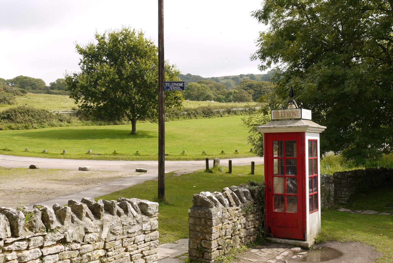
We headed along the stony, chalky track past what seemed to be a massive TV aerial, enjoying fine views to the north and, from this point on, the sight of a tremendous sweep of coastline from St Aldhelm's Head in the east to Swyre Head and Portland in the west. To the left, inland, the Lulworth Army camp and training ground stretched out with a large network of tracks and sundry wrecked and rusty tanks scattered across it.


We walked along the top of Bindon Hill, with the long slope leading up to Flower's Barrow all too visible in front of us. We saw a number of Wall Browns here basking in the sunshine.


We thought the ridge continued all the way, but first there is a steep descent to Arish Mell at sea level. The little beach here is closed and a crew of workmen doing something with what seemed to be an outlet of some sort. A Google search yielded a suggestion that there was once an outlet here from the Winfrith Atomic Energy Establishment. So perhaps it is being repaired.

On the other side, a long winding slope led steeply up to Flower's Barrow. Once we were there, the view back along the coast was superb. 


Now we began this leg of the Coast Path in the correct direction! Walking down the long slope was actually more taxing than climbing it had been. The toes and knees complained loudly. Then it was straight back up the other side to the ridge leading to Bindon Hill.

The views forward over Mupe Bay, with Mupe Rocks behind were very fine. 


As we descended Bindon Hill towards Mupe Bay, the chalk cliffs provided an impressive sight along the coastline.


At the bottom, we went to the corner of the small bay housing Mupe Rocks and puzzled over the extraordinary angle at which the strata of rock were pointing.


There was now a flat section along a grassy cliff-top path overlooking the Fossil Forest. This is a literal description rather than a fanciful one. 144m years ago there was a forest here which was flooded under a shallow, saline lagoon. Thick mats of algae grew across the forest floor and around the base of the trees and fallen logs.  Sediment stuck to the this and built up over time to form the large doughnut-shaped rings that can be seen today around the trees and wood.

At the end of this section you reach the mouth of Lulworth Cove, with Portland and Weymouth in sight beyond.


We climbed the long sequence of steps to the side of the cove and walked along the lower path at the top enjoying a fine view of the cove.


Then it was down the path and steps on the other side to walk back up the lane to the car - via a well-deserved drink in a bar on the way.

Conditions: sunny, hot.

Distance: about 7 miles, of which only 3 were on the Coast Path. Distance covered now 28 miles.

Map: Explorer OL15 (Purbeck and South Dorset).

Rating: four and a half stars.


Reflections

The walk took us far longer than a walk of this length normally would. Obviously this was due to the five steep climbs or descents that it included - and the consequent rests that they entailed. It led us to think that we need a better way of estimating the time required for this sort of walk and I remembered my friend John once saying that with Alpine walking the total change of height was often a better predictor of time taken than the linear distance. In this case the eight climbs/descents amounted to over a kilometer of change of level.

Secondly, I realised that I still need to improve my map-reading skills in order to identify all these changes in advance, rather than be surprised by them.

When we looked in the SWCP Handbook we were delighted to see that the Lulworth to Kimmeridge section was rated "Severe" - the highest rating on a scale starting at "Easy". Who would have thought we could have handled Severe without any great difficulty?

Saturday 20 August 2011

Kimmeridge to Worbarrow Bay and Flower's Barrow (SW Coast Path 9)

Worbarrow Bay

We picked up the SWCP at Kimmeridge, keen to get through the section which goes through the MOD Lulworth Ranges while they are open in August. We left Kimmeridge along the road, passed the BP "Nodding Donkey" Oil Well and entered the MOD land through the gate, pleased to be wished "Happy walking" - not like the MOD of old!

You walk along a broad grassy path with two of the Kimmeridge ledges, Broad Bench and Long Ebb, below. Hobarrow Bay lies between them and is succeeded by Brandy Bay. The Gad Cliff is in view ahead (see below) as you swing inland to climb towards and then pass beneath the large grassy hill of Tyneham Cap.


At about this point we encountered the advance guard of the heroic runners racing from Weymouth to Swanage (32 miles!). We would see many more in various states of fitness as our walk progressed.

As we walked along Gad Cliff there was a fine view back along the coast with the two ledges clearly displayed and St Aldhelm's head dimly visible in the background.


You then walk along Gold Down to reach the high ground above Worbarrow Bay. As you descend the large mound on the nearside of the bay becomes clearly visible. This is Worbarrow Tout - tout is an old word for a lookout point.


You descend right to sea level at the back of the beach and as you approach it there is a great view of the wide expanse of the bay.


Now the path climbs right to the top of the hill to reach Flower's Barrow. It could clearly be seen to become ever steeper the nearer you get to the top.


Still, after a quite strenuous climb the view back over Worbarrow Bay and Tout was very impressive.


We now left the Coast Path for today and turned inland along a ridge. This is the end of the Purbeck Ridge which runs in a grands curve from Ballard Point via Corfe Castle to here. The main views are inland to the north. It is mainly flat, but Lulworth Castle provides a focal point.

After a mile or so, we left this track and took a path downhill to pass through Tyneham, the celebrated deserted village. It was taken over by the Army in 1944 for rehearsals for the D Day landings and retained in MOD ownership after the war.

There is not a lot there but some of the main buildings, including the restored church, are clearly visible as you approach.

The old telephone box looked suitably nostalgic.


From here, we followed a grassy path zig-zagging up to rejoin the coastal path above Gad Cliff and retraced our steps to Kimmeridge Bay. 

Conditions: cloudy, hot.

Distance: about 7 miles, of which about 3.5 were on the Coast path. Distance covered now 24.5 miles.

Map: Explorer OL15 (Purbeck and South Dorset).

Rating: four stars.


Flower of the day

I saw this rather wonderful yellow poppy-like flower on the incline above Brandy Bay. Frustratingly, I have been unable to identify it.


Friday 19 August 2011

Tormarton to Cold Ashton (Cotswold Way 13)

Strip Lynchets near Dyrham Park

The penultimate leg of the Cotswold Way! We picked up the route at Tormarton and immediately crossed the M4 motorway. A track and field paths led us to the delightful little valley. Strip lynchets are the ridges that form on the down slope of a ploughed field.

Soon we came down a lane through the small village of Dyrham and past the gates of Dyrham Park. The rear part, shown below, was designed by a French Huguenot architect called Samuel Hauduroy. The main part dates from 1698-1704 as is rather grander.


From here the route heads south across fields and then into Dyrham wood. There is a nice view to the west - but less dramatic than many previous views on the Cotswold Way.


We cross the A46 at Pennsylvania. It seems possible that it was named by local Quakers in honour of the American state. If so, it would buck the normal pattern of American place names being derived from English originals.

From here, the path leads upwards through two fields of crops, across a road and along a drive to reach Holy Trinity church, Cold Ashton.


Pevsner reveals that it was rebuilt between 1508 and 1540. The west tower, which may be 14th century is the only remaining part of the previous church.

You emerge through the church yard on the main street of this quiet village and pass the imposing Rectory to be immediately greeted by the even more imposing Cold Ashton Manor. Pevsner suggests that it dates from about 1629.


The parking area at the front, across the road, has a splendid view towards Bath to the south.


Conditions: warm with sunny periods.

Distance: about 7 miles.

Map: Explorer 155 (Bristol and Bath).

Rating: three and half star. A easier walk than most we have done, but less drama.

Wednesday 3 August 2011

Tunbridge Wells

The Pantiles

In Tunbridge Wells for a family wedding and at a loose end for a couple of hours, I took the opportunity of a stroll around the town and its environs.

I found this circular walk on the AA website and was delighted to find that I was able to join the route right outside the hotel we were staying in - in Crescent Road. From here, the route led uphill to the entrance to Calverley Park, a nineteenth century housing development designed by Decimus Burton. Once through the arched gateway, you swing right to pass through the landscaped park of Calverley Grounds. The central flower display was a delight.


You leave the and head down to join the very pleasant High Street. I loved the windows above this pair of shops.


Further along, there are overhanging trees with benches on a high pavement, creating what seemed to be to be rather a French atmosphere.

At end you walk through an alley, where I found a second hand bookshop and tried to buy a West Kent Pevsner - sadly without success.

Crossing the road brings you to the famous Pantiles, with its colonnades and 17th and 18th century shops. The Pantiles and indeed Tunbridge Wells itself owe their existence to the discovery of the Chalybeate Spring in 1606. Chalybeate (pronounced Ka-lee-bee-at) means iron-rich, and this is apparently evident in the unique taste of the water. The spring water can still be sampled at this elegant building.


The stage stage of the walk leads across the common ...


... and along a road through parkland which is lined with imposing 19th century mansions. I especially liked the ceramic tiled decoration on this one.


After a while you take a right turn along a path which soon emerges into a private road with another fine array of enormous houses, this time of more varying vintages.

A bit further on, after some woodland and walking along by the main road you enter an area where there is a jumble of volcanic rock. It is not too hard to see how the central one acquired its name - Toad Rock.


Now you follow the A26 back into TW. As you approach the town, you reach Mount Ephraim. It is not much of a mountain but it does offer a good vantage point over the town. There is more volcanic rock in evidence here and some houses have been built in surprising proximity to it.


You now descend to approach the town and pass by Thackeray's house, now a restaurant. This charming building has a distinctly north American air about it.


From here, a route which skirts the pedestrianised shopping streets returned me to the hotel and the wedding preparations.

Distance: allegedly 3 miles, but seemed somewhat longer.

From: the AA website.

Rating: three and a half stars. A good way to get to know the town, but there was a lot of road walking outside the town centre.


Sightings

Right at the start of my stroll across the common, I spotted this White Letter Hairstreak resting on the path. A first for me. I don't think it was in too good health however as it seemed oblivious to my close presence as I took my photo.