Showing posts with label ST. Show all posts

Thursday, 13 October 2016

Petworth to Sutton End (Lord's Piece)

Petworth House and church seen from the east

We are back on the Serpent Trail with Viv and Giles after a longish break. We set off from the car park in the centre of the town and walk through quiet streets towards the eastern edge. I liked this terrace of houses - somewhat like almshouses, but more probably estate cottages.


A bit further on we enter a narrow track passing through an unusual type of stile - in fact, a turnstile. I have never seen one before in the country.


At the bottom we cross the A283 and, ignoring a second turnstile, begin our descent into a superb glassy valley


When we reach the far side we enjoy the view back and I am struck by how fine are the horses grazing in the top field. I am not usually that interested in horses, but these seem especially impressive.


We pass a house and enter an area of woodland, continuing east along a pleasant track. We emerge at a minor road and cross into Flexham Park, a large area of commercial woodland. At the end we pass through the hamlet of Bedham and turn off to the south. We pause for a picnic in a rare area of open country and enjoy the splendid views towards the South Downs.  Unfortunately, the sun is (reasonably enough at lunchtime!) in the south too, so this photo isn't much.


Continuing, we soon in more woodland and notice these curious tent-like shapes off to the left. Gradually it dawns on us that they must be for BMX biking or something similar.


The route gradually becomes more open and we pass through the edge of the village of Fittleworth to reach Hesworth Common. The sun through the trees was delightful.


We emerge onto a small plateau, not high (only 69 meters in fact) but offering fine views to the S0uth Downs - the view is actually very similar to the one above - we are only a couple of miles further south.


I enjoyed a nostalgic moment passing this tree with its swinging rope. There used to be a similar one, with an old tyre to hold onto, in Oxshott Common near where I was brought up.


At the edge of the Common we pass the attractive Hesworth Grange ...


... and emerge onto the B2138 at Lower Fittleworth, where The Swan Inn has an unusual gantry supporting its signboard. We saw something similar in Stamford earlier in the year and that one was originally used as a gibbet. I somehow doubt that the Swan's was also.


We follow the road for a bit, cross a bridge over the River Rother.


A track to the right takes us to our end point at Lord's Piece car park, passing, rather surprisingly a large showroom for sofas. From the car there are lovely views of the scattered trees in what feels like the park of a great house. Looking on the map I can see that Coates Castle (an 1820 Gothick manor house) is just to the north, so perhaps this impression is correct.)


Conditions: quite cold, but also sunny.

Distance: 8.8 miles (distance now covered 40.7 miles).

Rating: four stars.

Tuesday, 19 April 2016

Henley to Petworth (Serpent Trail 5)

The Duke of Cumberland pub, Henley

We return to the Serpent Trail with Viv and Giles for the first time since June last year, some previous planned returns having had to be cancelled. We set off from the excellent Duke of Cumberland pub at Henley and are soon deep in dark pine woods. The lack of views is one of the weaknesses of the Serpent Trail. Eventually, we pass a house and there is a bit of open view across its back garden.


At Leggatt Hill, things suddenly open up: an area of Birch wood has been cleared and there are great view south towards the South Downs, with lovely native bluebells in the foreground.


We head downhill and skirt the edge of a field of cows to reach a road. Soon we are in sunny light woodland - it seems so welcoming!


This gives way to an even lighter copse of Silver Birch with primroses and bluebells at the wayside. We see a Peacock butterfly.


We emerge out of this into an area of open fields, the first on the Trail so far, and pass an extravagant barn conversion. Soon there a view back towards our old friend Black Down, with a splendid oak tree offering some foreground interest.


Then it is back into the woods at Upperton Common. There are many dense areas of beautiful Bluebells to the side of the muddy track


Eventually, this track begins to climb quite steeply and suddenly we emerge at Upperton Folly on the north-western corner of Petworth Park.


We follow the walls through the village of Upperton and into Tillington. Legend has it that All Hallows church was designed by the great painter J M W Turner, who famously painted at Petworth House. The tower with its Scots Crown was built in 1807, but parts are Norman.


We intended to divert from the official route and go through the Park but somehow missed our entry and found ourselves carrying on beside the walls to go in through the New Lodges entrance. After passing the Upper Pond we headed towards the house. It was a castle of the Percy family, but was rebuilt in 1688-96. This is the west front which, according to Pevsner, was once crowned by a dome. Unusually, the architect is unknown.


Petworth is now owned by the National Trust and although it is easy to wander into the Park, to get out through the reception building you have to show your membership card (there is a subway for non-members).

You come out by the church of St Mary with its unusual brick tower on a stone base. The base is medieval, but the tower was added in 1827.


Just round the corner is Somerset Hospital, almshouses founded in 1746 by converting an early 16th century house.


That was the end of the walk and we repaired to the Cumberland Arms for a late afternoon refreshing glass of shandy.

Conditions: warm and sunny.

Distance: 7.8 miles. Distance now covered 31.9 miles.

Map: Explorer 133 (Haslemere and Petersfield).

Rating: four stars.

Saturday, 27 June 2015

Clayton Court to Henley (Serpent Trail 4)

A trail in Tullecombe Woods

We are back on the Serpent Trail with Viv and Giles and the name is starting to make sense. We started in Haslemere, headed south to Black Down and then west to reach Rake. Resuming just south of Rake, we are now heading east to Henley, more or less parallel with the path we trod in May. After Henley the path heads south east to Petworth then west again through Midhurst to Petersfield where it finishes.

We walked up the road from where we had parked on the edge of Durford Wood and quickly turned into a valley path towards Tullecombe Woods. Just as before we reached the main part of the woods, we were entertained by a group of bike riders hurling themselves down steep winding tracks through trees.


A winding path led through deep woodland and up this lovely sunken lane to emerge on a road.


 We skirted the Fyning Hill estate to walk through more woodland (Rondel Wood) and emerge onto a hillside track which offered some nice open views to the north. This was very welcome as we had found the previous leg to be quite claustrophobic


This brought us to the hamlet of Borden and after two further wooded sections we found a wonderful wide open buttercup meadow where we enjoyed a picnic in the midst of many Meadow Brown butterflies. More open fields followed until we reached  a pretty cottage at the entertainingly named Titty Hill.

We set off across Stedham Marsh ...


... and then crossed a road and made quite a steep climb up to Woolbeding Hill. We followed the ridge round to the viewpoint, passing a group of lads who had chosen that spot for a barbecue. The views southwards were wonderful.


We continued into some trees and were struck by the beauty of this grass in the dappled sunlight. The photo doesn't really do it justice.


A track led to Scotland Farm, with a rather splendid barn.


Then we walked across a field and then through more woodland, crossing the busy A287 (mad drivers apparently on the way home from Goodwood) and finishing with quite stiff climb to the Duke of Cumberland at Henley (at about 139m) where we slaked what was now a very well-developed thirst.

Conditions: warm and sunny.

Distance: 8.4 miles. Distance now covered 24.1 miles.

Map: Explorer 133 (Haslemere and Petersfield).

Rating: four stars.

Tuesday, 5 May 2015

Marley Common to Clayton Court (Serpent Trail 3)

Ridge Plantation

We have decided to try to speed up our Serpent Way project with Viv and Giles and have planned a bit over 8 miles today with a picnic in the middle.

We left the car park on Marley Common and rejoined the trail, having carefully noted how to do so at the end of the last leg. I have to admit that before very long we missed a turning on the left and realising we had lost our route backtracked until we found it.

The Serpent Way waymark is a rather pleasing white isosceles triangle with a maroon serpent motif. The triangle is placed on a post with the apex pointing in the desired direction. Mostly this works splendidly, but it does take a bit of study to identify which of the three sides is the apex - perhaps it could be marked with a maroon tip? But also the markers are quiet small and if you are deep in an interesting conversation it seems to be terribly easy to miss one.

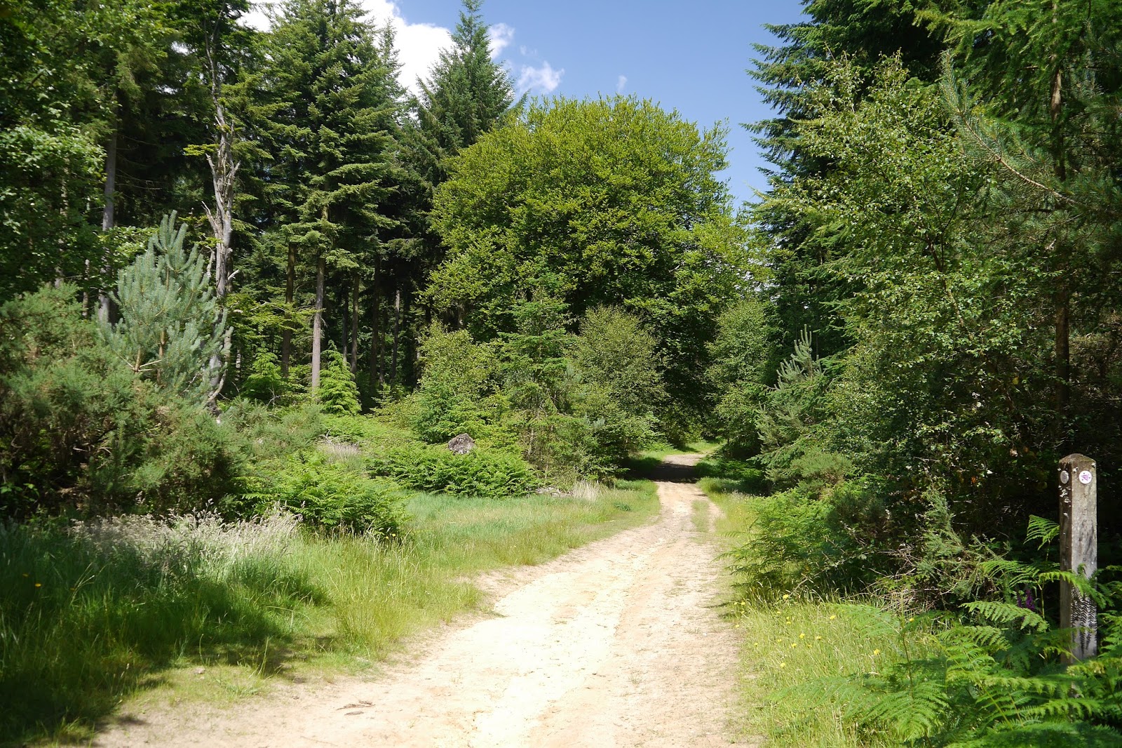
We eventually negotiated our way off Marley Common and into the Ridge Plantation. Forest tracks  led us into Linchmere Common and then to Stanley Common where we found some wonderful felled trees which made an excellent picnic spot.


We must have wandered off piste after this because we reached a road where there was no sign to help us. However, skilful map reading enabled us to work out that we had to turn right and soon we were back on track - a long straight one through more woodland and then a golf course.

This brought us to the Liphook to Petersfield Road (B2070) and a pub. Giles and I especially were dismayed to find it was closed. After this we followed a track into more woods and - again! - missed a turn. Again, some good map reading enabled us to work out where we had gone wrong and find a corrective course which would reconnect with the official path at the edge of Chapel Common.

A wide track brought us down to the B2070 again and we followed it into Rake where we did find an open pub and a refreshing drink. From Rake a path led down through Rake Hanger. On the left there were some artificial fish ponds.


The hanger was a really delightful piece of woodland.


At the edge of the wood, the path meets a small road and turns back on itself, in keeping with its name. We continued on a short distance to the car park on the edge of Durford Wood where we had parked the car. Just beside it was Clayton Court, which a glimpse through the fence convinced me might be a fine country house. Perhaps it was once, but it is now apparently a care home.


Conditions: greyish but mild.

Distance: 8.4 miles. Distance now covered 15.7 miles.

Map: Explorer 133 (Haslemere and Petersfield).

Rating: three stars. We had a really enjoyable walk, but in truth it was more about the company than the inherent features of the walk itself. The main issue for me is that there are no views: alternating common and woodland is pleasant enough, but it does tend to merge into a sort of green nothingness. Not a single butterfly either, although that of course is more about the weather.

Friday, 17 April 2015

Black Down to Marley Common (Serpent Trail 2)

Black Down

We started the Serpent Trail with Viv and Giles last December, but it has taken a while to return to it. We resumed at the car park near Balck Down and walked through woodland to emerge onto open heathland.

To the right there were nice views to the east.'


We last walked in this area in July 2014, starting out from Fernhurst. On that occasion we failed to locate the evocative-sounding Temple of the Winds. We were hampered by our belief that it was something resembling a temple, we had the idea that there was maybe a circle of stones or something similar.

As we were heading along the path we met another group of walkers who enquired if we knew where the Temple of teh Winds was - they had seen signposts, but couldn't find it. We made sympathetic noises. This time we did locate the Temple, not without some difficulty - even when close up it was somehow hidden. It turns out to be a belvedere just below the edge of the hillside with a wonderful view to the south.


This is at the southernmost point of Black Down and we headed away to the north to soon overtake the other walkers who had stopped for a break. They were very gracious when they received the news that we had located the elusive Temple.

Further on we started to see the distinctive cattle, Belted Galloways, that the National Trust uses to graze the heathland. They are certainly well-named.


We continued along a broad path across the heath and then headed along the base of a grassy hillside, with a ridge ahead of us revealing scattered substantial houses.

Somewhere around here we missed our way and found ourselves walking along a lane with confusing signs to Valewood Farm House and Valewood House. We couldn't quite work out where we had gone wrong - or indeed where we were. After some trial and error behaviour we eventually worked out that we had been going in the right direction but were on the wrong side of a small stream.

Somewhat chastened,  made our way to the A286, Bell Road, and crossed it to walk through the woods of Marley Common to reach where we had parked.

Conditions: bright and mild.

Distance: 4.8 miles. Distance now covered 7.3 miles. We hope to increase our pace next time.

Map: Explorer 133 (Haslemere and Petersfield).

Rating: four stars.

Wednesday, 3 December 2014

Haslemere to Black Down (Serpent Trail 1)

Haslemere High Street

We met up with our friends Viv and Giles to start what we hope will be a new Long Distance Path project: the Serpent Trail. I noticed it marked on the OS map as I was searching for a walk in this area. The official website explains that it a 64 mile trail from Haslemere to Petersfield, designed to highlight the outstanding landscape of the greensand hills. The name comes from the twists and turns of its route. We "hope" because we are all a bit crocked at the moment, so progress may be slow. Still, a journey of a thousand miles and all that.

We start in Haslemere's attractive High Street: it just lacks an imposing building to provide a focus. We walk to the bottom and turn left into Petworth Road and soon take a path on the left: we were staggered to not find a way marker at this critical point.

The path soon passes an interesting structure. It is called Speckled Wood, after the butterfly, and was built by the National Trust in conjunction with the well-known woodsman and conservationist Ben Law.  It houses a training school for National Trust volunteers.


A curving path through muddy fields brought us back to the road which we crossed at Almshouse Common near the set of former almshouses which gave its name to the locality. They date originally from 1676 and have rather handsome porches. It seems that a further pair are being built on the exact same design.


We followed a climbing path, with a valley to our right and a high ridge beyond it to pass a couple of farms and reach a lane. Here we turned right, with distant glimpse of Leith Hill, the scene of a walk we did in 2009.

This soon entered woodland and twisted and turned to bring to where we had parked on the north east edge of Black Down.

Conditions: pleasant, if a bit grey.

Distance: 2.5 miles.

Map: Explorer 133 (Haslemere and Petersfield). Should be the only map we will need!

Rating: three stars. A very pleasant walk. It was very enjoyable to be out in the fresh air, but I couldn't find much in the way of photographic opportunities. Perhaps we were too busy talking!