Showing posts with label WR-W. Show all posts

Sunday, 26 February 2017

Win Green to Ashmore (Wessex Ridgeway [Wiltshire] 11)

View from Win Green

Today is the final leg of the Wessex Ridgeway in Wiltshire and of the whole Wessex Ridgeway, as we have already completed the Dorset section. It is a shame that the weather is rather grey and cool, but perhaps this is not totally surprising in February. It is particularly frustrating that I can't get any decent pictures of the wonderful countryside below Win Green (at 277m the highest point on Cranborne Chase). Above is the best I have managed.

We head immediately downhill to an area marked on the map - rather wonderfully - as Under Win Green. You can't really argue with that, as it is at only 150m above sea level! We bear right (south) and enjoy this fine wooden dry valley to our right.


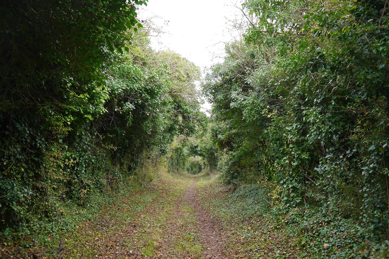
We are now in the park of Ashcombe House, rebuilt before 1740 (Pevsner) with only parts remaining, notably the Orangery and Gatehouse. The tree-lined road stretches ahead invitingly.


The view back shows something of the house.


We follow this delightful road for a while then turn left along the edge of another splendid dry valley in the direction of Tollard Royal.


We touch the village quite briefly, passing this phone box which now houses village notices, books and a defibrilator.


Very soon we turn right and follow an uphill track called Benches Lane. This is rutted and muddy and a reasonably arduous climb. We emerge to follow a path by a road and then strike out across two fields where the right of way has been obliterated by crops. Why could they not mark out the path with a tractor as most farmers do these days?

This brings us to the edge of Ashmore, where the distinctive Dorset Wessex Ridgeway sign reminds us of the second part of the Wessex Rideway which we finished at Lyme Regis last October.


On the outskirts of the village is this lovely newish house using the unusual combination of greensand stone and flints which is characteristic of this attractive village, famously the highest in Dorset.


A little further on is an older cottage built in the same style.


A sit was such a dreary day, I will end this post with a picture of Ashmore taken on our first visit there in January 2015 when we did a very nice circular walk to Stubhampton Bottom.


Conditions: Cold and grey.

Distance: 6 miles.

Map: 118 (Shaftesbury & Cranborne Chase).

Rating: four stars. This would be a lovely walk on a good day.

Saturday, 11 February 2017

Old Wardour to Win Green (Wessex Ridgeway [Wiltshire] 10)

Old Wardour Castle

We had our first view of Old Wardour Castle on the previous leg of this walk. Today it was open and it was possible to snatch this picture from the front gate. It has to be said that it is a less romantic ruin than I thought it would be.

We headed south west, soon passing this intriguing, but unmarked gateway.


To the right there was a distant hazy view of the rear facade of New Wardour Castle. This has the classical portico that no self-respecting neo-classical building would be without.


The countryside we were passing through was attractive but hard to fully discern in the murk.


We entered Park Copse and enjoyed the sight of some early catkins.


We then descended a very steep and slippery track to reach the scattered village of Donhead St Andrew. We enjoyed these straw birds on one of the thatched roofs.


Now uphill and across fields, descending to Milkwell and then climbing again to reach Lower Berrycourt Farm where there was a fine old stone barn.


A track and further fields brought us to a point overlooking Ludwell, where extensive watercress beds could be seen behind the attractive thatched cottages.


We passed the excellent Grove Arms pub, where we would later enjoy lunch, and turned right walking past the watercress beds and then along field  paths always uphill to finally reach Win Green. The views from the top were fantastic, but the weather was by now even more murky and there was no point in trying to take a picture.

Conditions: Cold and grey.

Distance: 6 miles.

Map: 118 (Shaftesbury & Cranborne Chase).

Rating: four stars. This would be a lovely walk on a good day.

Thursday, 5 January 2017

Hindon to Old Wardour (Wessex Ridgeway [Wiltshire] 9)

Hindon High Street

The continuing saga of the Wiltshire section of the Wessex Ridgeway. We set off from Hindon under a clear blue sky and walked down the High St to head gradually uphill over open country in a westerly direction. We bore left and reach the splendidly names Oddways Hanging at the corner of a vast field. In the shade, the ground underfoot was still frozen.


We followed a winding sunken path through the wood, wondering if it had developed naturally or had perhaps been deliberately hollowed out. The OS map shows a disused pit, so perhaps mining was a factor


We continued across fields along the same line and then took a sharp left so that we were now heading south east towards the small settlement of Newtown. After crossing a road, we headed up a quite steep hill passing a pond marked on the map as Abbot's Pond - maybe a medieval fish pond. We continued climbing along the edge of a wood to reach a trig point at 214m.

Now we descended into Newtown noting two or three houses with cross markings - we speculated that they may once have been the Abbot's barns. But which Abbot? Merv pointed out that we were not far south of Fonthill Abbey, so perhaps that was it. As we left Newtown, we admired this tasteful chapel conversion.


Soon we had a beautiful view towards Manor Farm and the village of East Hatch.


We meandered our way across fields to reach Wardour and walk through the grounds of New Wardour Castle.


It was designed by James Paine for the 8th Lord Arundell and completed in 1774 and is the largest Georgian house in Wiltshire (Pevsner). The facade we saw is rather severe, the one on the other side is much grander with columns and a large pediment. The house was a girls school from 1961 to 1990 and was bought by Jasper Conran in 2010 (Wikipedia).

I noticed the chapel on the right of the facade - stained glass gave it away. It is known as All Saints Chapel, Wardour and was enlarged in 1788 to the designs of Sir John Soane. It is a Roman Catholic chapel and is still in use.


We walked across the former park which still has its trees but seems to have been converted to agricultural use towards Old Wardour Castle. Licence to crenelate was granted in 1393 and the castle was modernised by Sir Matthew Arundell in 1578. It was "slighted" (i.e. made unusable) after the Civil War like many others e.g. Corfe or Donnington. Unfortunately it was closed so we couldn't get a better idea of what it looks like.


Nearby, is Cresswell's Pond, a rather lovely lake which looked very pleasing in the morning sunlight before we we started the walk.


Conditions: Cold and bright.

Distance: 6 miles.

Map: Explorer 143 (Warminster & Trowbridge) and 118 (Shaftesbury & Cranborne Chase).

Rating: four stars. A lovely walk.

Wednesday, 7 December 2016

Corton to Hindon (Wessex Ridgeway [Wiltshire] 8)

The Dove Inn, Corton

We set out from the Dove at Corton, wher we had enjoyed an excellent lunch at the end of the previous stage of this walk. A left and a right brought us to a green path heading uphill to the south. This is the view back from near the top.


At the top we turned left and enjoyed a lovely view of the hillside sloping back down towards the Wylye Valley. The trees on the far side were especially pleasing.


We followed a farm track as far as Corton Filed Barn, where we turned right (south) and followed a broad track offering fine, if hazy views towards the west.


Pausing to find a hedge to go behind, we found this wonderful sign: Floristically Enhanced Green Margin. We imagined some poor florist dutifully planting loads of seedlings.


A bit further in we had a better view of the combe we saw earlier - it is clear from the map that it is     Whatcomb Bottom.


We continued on the same line and headed into what the map suggested was going to be a large, dense forest, Great Ridge. In fact it was more widely planted than we had expected and quite straightforward to navigate, if not especially photogenic.

This is the view back once we emerged on the other side. The sun had come out to welcome us and the sky was clearing somewhat.


We walked down to the busy A303 which we crossed without mishap and climbed along a muddy track towards Hindon. There was a nice view back once we reached the next ridge.\


We headed downhill into the village, passing the church of St John the Baptist (T H Wyatt, 1878). Pevsner says that the village was created by the bishops of Winchester in about 1220 and soon had about 150 houses. It was built all along the road from Salisbury to Taunton. Most of it was rebuilt in stone after a fire in 1745. It is very harmonious and attractive.


At the crossroads was the Lamb pub where we had an enjoyable lunch.


Conditions: not too cold, cloudy then brightening up.

Distance: 6 miles.

Map: Explorer 143 (Warminster & Trowbridge).

Rating: four stars.

Thursday, 3 November 2016

Warminster to Corton (Wessex Ridgeway [Wiltshire] 7)

Battlesbury Hill

Back on the Wessex Ridgeway after a break of five months, we resume the route on the north of Warminster by the West Wilts Golf Club and take a route heading south east through a small housing estate. Reaching a road, we turn left along the side of the vast Army Training Centre and and then right to climb Battlesbury Hill with its Iron Age hill fort.

We are now back on the south east line we started on and on the far side of Battlesbury (208m)there is a nice view across to Middle Hill, with its two lonely trees and an area of Strip Lynchets over to the left. They are the result of ancient farming methods, although there is some debate about they were deliberately created (like the terraces found in countries around the Mediterrranean) or were the by-product of slippage of soil loosened by ploughing.


We crossed the low-lying area in front of Middle Hill and followed a line to the right of the trees to climb a third hill, Scratchbury Hill. This is the view back.


We were now on a high ridge, still heading south east. We passed a small tumulus with a helpful sign advising tank crews that they were not to shell it or drive over it and then passed through a narrow strip of woodland.


We turned right immediately on the other side and headed downhill towards the village of Heytesbury. Our first sight was of the church through some nice autumn foliage.


After crossing the busy A36 we found ourselves in the village centre and walked along the High St to get a closer view of the church (of St Peter and St Paul). It dates from the 13th-14th centuries, but was in Pevsner's view over-restored in the 19th century by William Butterfield. It is "externally more rewarding from a distance than from near by".


Further along the High St is the former Lockup.


And at the end is the Hospital of St John and St Katherine. This almshouse dates from 1449 and was founded by Walter, Lord Hungerford, Treasurer of England. It was rebuilt in 1769 and modified internally in 1962.


We were now at the start of the Wylye Valley and soon reached the banks of this attractive stream.


Another mile or so brought us across fields to the edge of the village of Corton and then to The Dove pub where we enjoyed an excellent lunch.

Conditions: not too cold, cloudy.

Distance: 6.8 miles.

Map: Explorer 143 (Warminster & Trowbridge).

Rating: four stars.

Thursday, 30 June 2016

Stoke Hill to Warminster (Wessex Ridgeway [Wiltshire] 6)

View over Salisbury Plain

We resume the Wessex Ridgeway at Stoke Hill overlooking Salisbury Plain from about 220m. We follow the road as far as Coulston Hill and then continue along a track. There are lovely views over the Plain, which in this area seems to contain a number of delightful combes and dry valleys.

We ignore the temptation of the White Horse Trail on our left and continue down a hedged path looking for the next left. There is lots of Meadow Cranes-bill around and this one was host to a Large Skipper.


When we do turn left there is a lovely view through a field gate of the direction of progress: the chimney of the disused cement works just outside Westbury is a landmark for miles around.


We head diagonally downhill and pass Westdow Farm to tunr left again to follow a narrow path next to vast field of Oilseed Rape. The field margin has a solid band of Poppies and some more Meadow Cranes-bill provides a beautiful counterpoint.


Soon after this we head due west, now following the boundary of the MOD firing range - we can hear small arms fire from time to time. In the hedgerow we spot this lovely yellow flower, which we later identified as Common Toadflax.


Now we started to see cows grazing on the MOD ranges. Surely they are not used for target practice?


At length we reached Bratton Camp Fort, an Iron Age hill fort where there were also Neolithic long barrows.


Just round the hillside is the dramatic Westbury White Horse. According to the helpful plaque, "local records suggest that the horse was originally cut in the late 1600s, probably to commemorate the supposed Battle of Ethandun, thought to have taken place at Bratton Camp in AD 878."


The horse had to be re-scoured from time to time to keep it looking good. The last recorded re-scouring was in 1853: a hundred years later it was covered in white-painted concrete. We were frankly shocked by this - we had already detected something rather false about it from the horizontal and vertical lines.

A little further on we admired the slope of Westbury Hill with Westbury itself beyond.


We continued past a massive chalk pit and continued along the Imber Range Perimeter Path. We were still of course skirting the MOD ranges, although the immediate prospect was of a cornfield with a dense population of poppies.


Soon we took a left and headed down a steep hill towards the bottom of a long dry valley.


The climb back up was more gradual and at the top we unaccountably missed the correct path on the left, emerging on the road that leads up from Waminster to the rifle ranges. We weren't sufficiently upset to retrace out steps and simply plodded on down the hill. Just before we reached the car we were surprised to see this old mile post on the left hand side, which had presumably been moved from its original location into this dead-end road.


Conditions: mild, cloudy.

Distance: 9.3 miles. We thought it was going to be about 7 miles. The planners of the walk were duly chastised for their incompetence and have vowed to measure future legs more carefully.

Map: Explorer 143 (Warminster & Trowbridge)

Rating: four stars.