Wednesday 28 April 2010

Wanborough, Puttenham and Compton

The Great Barn at Wanborough

Another in our sequence of walks with our friends from Chichester. This one starts at Wanborough station. You walk south and quickly join a field path heading towards Wanborough village with the low ridge of the Hog's Back on the horizon.


The village of Wanborough boasts a (rather ugly) 17th century manor house, the tiny 13th and the famous Great Barn. You head further along the road south and fork right through a field of oilseed rape, where the public footpath has been shamefully planted over, to reach the Hogs Back and the busy A31. Although it looked low when first sighted, the views from here back towards Wanborough and beyond are impressive.


After taking our lives in our hands to cross the A31, we were pleased to find that the view on the other side looking down to Puttenham was equally rewarding. You can see St John the Baptist church in the foreground and Puttenham Priory behind. Pevsner describes this as a “a handsome pattern-book builder’s house of 1762” and as a good example of a provincial Palladian house.


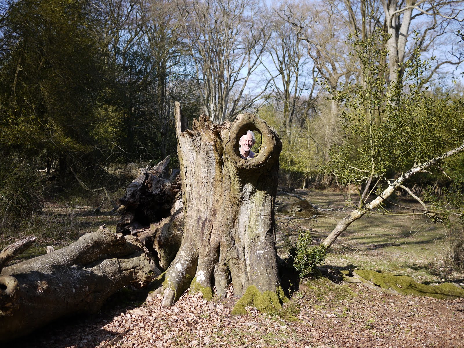
As we walked down the track towards Puttenham, we glanced into a sloping field on the right and were startled to see a number of isolated men sunbathing, seemingly naked. At first we could not imagine what was going on, but gradually it dawned on us.

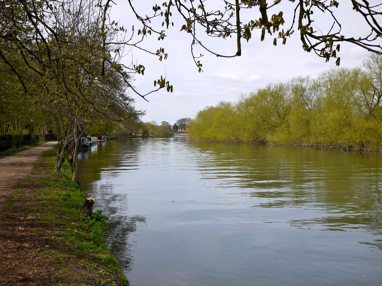
Through the very pretty village of Puttenham and onto the North Downs Way past the golf course. Then a crossing of the busy A3 by an overpass and on to Compton. As we approached we were thrilled to see the first proper bluebell wood of the year - presumably accounted for by the sunny slope on which they were situated.


We had lunch at the excellent Harrow Inn and then looked at St Nicholas church which is a delight. The tower and chancel are 11th century, but pre-Norman; the nave, aisles and the unusual two-storey sanctuary (which can be glimpsed through the chancel arch) come from later in the 11th century and the middle of the 12th.


A bit further along the way we came to the Watts Memorial Chapel, which I had hoped would be the highpoint of the walk - and I was not disappointed. The chapel was built in 1896 as a memorial to the painter GF Watts by his wife, Mary.

From the outside it is a riot of red brick and terracotta panels with Celtic designs, and perhaps seems out of proportion. The low angle of this photo exaggerates its height.


Inside it is even more extravagant, and the magnificent art nouveau decoration puts you in mind of Vienna and paintings by Klimt or Beardsley. I wondered how a building of 1896 could have such decoration, but it turns out that the inside was designed in 1901.


We would also have visited the nearby Watts Gallery but it is currently closed for restoration.

From here we rejoined the North Downs Way heading back towards Puttenham. Part way along, by the splendid red brick Monks Grove Farm, we turned right, soon crossing fields and then the A31 again - more difficult as the afternoon rush hour was now underway. We headed back down to Wanborough and retraced our steps to the station.

From: The Times 3 April 2010 Well done Christopher Somerville, but would-be walkers should know that the sketch map provided needs to be supported by an OS map and is remarkably coy about the two main roads which have to be crossed.

Map: Explorer 145 (Guildford and Farnham).

Conditions: dry, sunny, very warm.

Distance: supposedly 7 miles, but we estimated it as over 8.

Rating: four stars. Wonderfully varied and full of interesting things to see, both natural and man-made.


Sightings

Not many butterflies around but quite a good selection: Brimstone, Small White, Large White, Orange Tip, Peacock, Small Tortoiseshell, Red Admiral, Speckled Wood.


Flower of the day

Much to my frustration I have not been able to identify this plant. We saw a large quantity of it right by the path as we stopped to admire the bluebells.

Sunday 25 April 2010

Chipping Camden to Broadway Tower (The Cotswold Way 1)

Chipping Camden Town Hall

Today, after a good deal of discussion, we began the Cotswold Way, which we are going to walk, over however long a period it takes, with our friends Merv and Pud. It runs from Chipping Camden to Bath - a distance of 102 miles - so it could take a while.

The Way begins by the Town Hall. It turns out that when we did our one previous walk in Chipping Camden we had actually walked its initial section - there are also a couple of nice pictures of the market hall and church, and later of Dover Hill. We knew we were on the Cotswold Way, but not that it was the actual start. I don't know where we thought it did start.

You walk down the high street, turn right by the catholic church and begin a long but reasonably gentle climb up to Kingcomb Lane and then on to Dover's Hill. On the way up our target for today, Broadway Tower, was visible off to the left.


The view south from Kingcomb Lane was also very agreeable for its subtle changes of colour and shading.


We walked along the edge of the Cotswold scarp at Dover's Hill (230m) and enjoyed the wide open views across the Vale of Evesham.

We then walked along a field edge and soon entered a long wide grassy drive - the Mile Drive, presumably an old drove road. Like so many other places this year it was thickly carpeted with dandelions.


Then the path led us to the picnic area at Fish Hill on the A44. We crossed and began the climb up Broadway Hill towards the Broadway Tower. Soon there were fine views to the west with Bredon Hill visible across the Vale of Evesham and the Malverns just discernible behind it.


And then we passed through a winding valley, embellished with sheep, to reached today's destination: the Broadway Tower.


The Tower (312m above sea level) was built in 1799 as a folly for the 6th earl of Coventry by James Wyatt. It is a six sided structure with towers at alternate corners. One of the later tenants was Cormel (Crom) Price a close friend of William Morris, who stayed there with his family. (A full account is available on the Broadway Tower website).

Map: Explorer OL45 (The Cotswolds).

Conditions: dry, sunny, warm.

Distance: 5 miles, or perhaps a bit less. A gentle introduction. At this rate it will take us at least 2 years to do the whole thing, so perhaps in the future we will have to push on a bit further.

Rating: four stars. A wonderful introduction to the Cotswold Way.


Flowers of the day

Two classics: Red Campion ...


... and Cowslip.

Wednesday 21 April 2010

Sandhurst to Farnborough (Blackwater Valley Path 3)

The Blackwater near Sandhurst

A late afternoon walk after a long and tiring work meeting. Continuing the Blackwater Valley Path seemed to be the ideal way to unwind. We walked down Swan lane to join the Blackwater again and followed the south bank. The river was more sinuous here and as the photo shows there was lots of hawthorn blossom in evidence.

We crossed over and wandered through the pleasant Shepherd Meadows and then crossed to the other side to emerge by a roundabout in the village of Blackwater. Happily we were soon back by the river and walking through Blackwater Park and then Hawley Meadows.

One notable point at towards the end of the Meadows was the confluence of the Cove Brook with the Blackwater.


A bit further on, the river was becoming increasingly narrow and full of rushes.


The final leg of the walk involved walking through Frimley Business Park, a complicated manoeuvre to cross the M3 and then a couple of miles following the river bank between the busy A331 on one side and a new series of one-time gravel pits, now used for fishing, on the other. Coleford Lake seemed to be the nicest of these.

From: Blackwater Valley Path (Blackwater Valley Countryside Partnership) Stages 7-5.

Map: Explorer 159 (Reading, Wokingham and Pangbourne) and 145 (Guildford and Farnham).

Conditions: dry, sunny, very warm, but getting chilly as the sun went down.

Distance: 5.5 miles.

Rating: two stars. Increasing traffic noise as the walk went on. However, at least the great majority of the walk was right by the river.


Flowers of the day

At several points we saw clumps of this delicate lilac-coloured Cuckoo Flower.


And a few isolated examples of Honesty.

Monday 19 April 2010

Hengistbury Head

Hengistbury Head from below

A further walk with our friends in Christchurch, around Hengistbury Head. There was an iron age fort here, projected by a Double Dyke a surprisingly long way inland, and by the time the Romans came it was a major urban settlement and port. By the time they left however it had declined. Nowadays it is a SSSI and erosion is a major issue. Interesting aerial pictures of lots of further information can be found on the Hengistbury Head website.

The walk begins at the Hengistbury Head car park, which was naturally quite busy in such a lovely day. You follow a tarmac path with the Head on your right and Christchurch harbour on your left in the distance, with thick reed beds in between.


Soon the reeds die down and you are walking by the water and a bit further on Mudeford Spit comes into view with the first of the innumerable wooden chalets., which look at first like simple beach huts.


We walked along Mudeford Spit marvelling at how well the chalets had been kitted out. Inside a shell which looks likes large garden shed you could see a kitchenette, sleeping a living sections and presumably shower and toilet at the back. They are said to go for £100,000. We weren't tempted - it all seemed too public.

At the end of the Spit is the Run the narrow channel which controls access to Christchurch Harbour and then we walked along the other side of the spit looking out to the open sea, with the Isle of Wight dimly visible through the haze 10 miles away.


At the end of the Spit we climbed past a small pond dedicated to the Natterjack Toad to reach one end of the Head itself. There is a wonderful view along the Spit showing the beach, the groynes and of course the densely packed chalets.


We then walked along the path up to the highest point. The cliff-top path to the left was closed because of erosion. When we reached the top there were great views back to the east ...


... to the north west over Christchurch ...


... and indeed along the coast to Bournemouth. From below the Head does not look that impressive, but it is a different story once you are up there.

Distance: just under 4 miles.

Conditions: warm, sunny.

Rating: four stars.


Sightings

Quite a lot of birds on view. We saw a number of Redshanks on a sand bar behind Mudeford Spit and a small group of Turnstones at the water's edge on the nearby beach. This photogenic Black Headed Gull especially caught our attention.

Sunday 18 April 2010

Burley

Smugglers Way

We were visiting friends in Christchurch and were taken for this lovely walk in the New Forest near Burley. The walk began at the Vales Moor car park, and we began by following a track uphill heading north east. The view back was delightful.


A bit further on a small ridge marked the line of a minor road from Burley up to the A31.


We crossed the road and headed on the same line, now more or less parallel with the A31, skirted the tip of Ridley Wood and walked across Ridley Plain. Quite a sparse area, with gorse bushes and scattered trees.


We then made a couple of right turns to skirt woodland where we saw our first New Forest ponies ...


... and walked across more open ground into the other end of Ridley Wood. Here we saw the sunken lane known as the Smugglers Way - apparently Burley was a major smuggling centre in the 18th and 19th centuries. This is a bit surprising as it is a fair way from the sea, but presumably smuggled goods continue to need secret transport once they are in the country.

In the woods we saw an unusual tree stump, and were surprised to see the resident wood sprite.


Emerging from the wood we crossed a classic New Forest stream, complete with ponies grazing on the grassy banks.


We climbed up to the ridge, crossed the minor road again and followed a winding track back to the car park.


Distance: about 5 miles.

Conditions: warm, sunny.

Rating: three and half stars.

Thursday 15 April 2010

Chalford

Belvedere Mill, Chalford

I returned from a trip to Gloucester via Stroud to do this walk from Chalford. You cross the main road and pass the imposing Belevedere Mill, the first of many reminders of the water-powered cloth mills which dominated the Stroud area. The mills are on the River Frome, but the first couple of miles of the walk follow the adjacent Severn and Trent canal. At first there is water in the canal, even though it is much narrower than in its glory days.


At Brimscombe Port (another reminder of long-gone days) you face the imposing New Mill, but then the route follows a road for a while, the canal having apparently been built over to make way for an industrial estate.


Soon it reappears again, and the path continues, passing arched brick bridges, as far as Thrupp. Here you turn north, crossing over the fast-flowing river Frome, and at last having a clear sight of it.


From Thrupp the extremely steep Claypits Lane leads up to the high ground on the north of the Frome valley. Soon you reach the lovely Nether Lypiatt Manor.


The neo-classical house, an unusual style for the Cotswolds, dates from 1702. According to the walk book this house was once owned by Prince and Princess Michael, but I learned from a friendly passer-by that it is now owned by the scientist-inventor-businessman Lord Drayson, who loves racing Aston Martins in his spare time.

Shortly afterwards there is a winding descent followed by another steep climb to Bussage. This was soon followed by emerging onto a large modern housing development, a bit of a surprise. The path back towards Chalford led through a wood which was absolutely carpeted with Greater Stitchweed.


Finally, there was an extremely steep descent back to Chalford and the valley bottom.

From: 50 walks in the Cotswolds (AA).

Map: Explorer 168 (Stroud, Tetbury and Malmesbury).

Conditions: dry, cloudy with the sun trying and sometimes succeeding to break through, 12 degrees maybe.

Distance: 6 miles.

Rating: four stars. Very varied and interesting. A good workout.


Sightings

A heron by the Frome and a pair of Yellow Wagtails on the opposite back of the canal. I also saw a single butterfly - a Small Tortoiseshell, the first of the year. And a fallow deer which watched from woodland, without great interest, as I toiled up Claypits Lane.


Flower of the day

These splendid Marsh Marigolds were growing right in the canal bottom.


Reflections

My "flower of the day" project last year was a great way to widen the range of flowers I can identify. This year, having resumed the project before the start of spring I am reinforcing what I learned but also gaining a much clearer sense of the sequence in which different wild flowers come into bloom.

Sunday 11 April 2010

Reading

The former Town Hall

We had our friends from Bristol to visit and we thought we would reciprocate the city walk they took us on in Bristol with a town walk around Reading (a would-be city). We started at the station car park, walked out the front, admiring the Italianate original station buildings and along Station Road, paying attention to the ornate upper storeys of the shops. Then along Friar Street to the former Town Hall, a handsome red brick building of 1872-5 by Alfred Waterhouse.

Nearby is Reading's oldest church, St Laurence, which is currently being restored. Once it had one of the gates to Reading Abbey next to it. We come to the Abbey ruins later on the walk and it was striking just how far away they were - or, just how large the Abbey complex was.

We walked past The Library and Art Gallery next door to the Town Hall, less imposing, but harmonises well with it. Then we turned into Valpy St to discover a building I was quite unaware of until I planned this walk: the abbey hospitium, now a day nursery, tucked away among modern office blocks. It dates from 1486 and on this side there is an interesting brick stair turret.

The hospitium, which provided accommodation for pilgrims and visitors, is more clearly visible from the other side, St Laurence's churchyard.


We crossed the road to enter Forbury Gardens, once the outer court of the abbey. The first and most striking sight is the massive statue of a lion, the Maiwand Lion, erected in 1886 to commemorate the deaths if 329 men of the Royal Berkshire Regiment at the battle of Maiwand in Aghanistan in 1880.

On the south side is the inner Abbey gateway, 13th century, but much restored by Scott in 1869 - and now partly covered by scaffold and boarding for fear of falling masonry. A shame as it is a handsome sight. On the same side is the former Shire Hall of 1904-11, a little gem of a building, now a hotel.

To the east is St James RC church. It was built 1837-40 by AWN Pugin. It is one of his first churches and the only one in the Norman style. We did not quite get there in time to have a look at the interior.


In the same direction, to the right, can be seen the abbey ruins and beyond them the central tower of Reading Gaol of Oscar Wilde fame. The abbey ruins - just the core of some walls, no finished stonework - are closed for the foreseeable future because they too have become dangerous.


We walked along Forbury Road, past the church and the modern security walls of the prison and reached the bridge over the Kennet. Here we backtracked under the prison walls to the other entrance to the ruins. This area has recently been made into the Oscar Wilde garden. A nice idea, but without much impact.

Then along King's Road past the remaining building of Huntley and Palmer's biscuit factory, which contributed much to the prosperity of Reading (and indeed of the Palmer family) in the 19th century. Most of the site now houses a Prudential office block.


We now walked along the Kennet tow path, with a housing development on one side and sundry industrial remains on the other. This redundant gas holder seemed to fill the sky.


Soon we reached the fine Brunel-built bridge which marks the point where the Kennet flows into the Thames. We saw the black swans we first noted on the Reading to Ashenbury Park leg of the Berkshire Way 18 months ago - at least I imagine they are the same ones, it was certainly nearby.


The river was calm and inviting.


Then we came to Reading bridge which effectively marked the end of the walk.


From: 50 walks in Berkshire and Buckinghamshire (AA) - with some modifications.

Map: Explorer 159 (Reading, Wokingham and Pangbourne).

Conditions: dry, sunny, reasonably warm.

Distance: a bit under 4 miles.

Rating: three and a half stars.


Reflections

I have lived in this area for most of my adult life, but this route revealed a wonderful old building I have never noticed and took me along the Kennet tow path in a direction I have never previously walked in. I have also been in the Forbury gardens a fair few times and never really stopped to study the panorama of buildings to be seen from it. Nor did I realise that the little hill it contains was built during the Civil War as a gun emplacement.

This just reinforces the need to behave as though you are seeing somewhere for the first time to get the best out of a town walk. Something of the same is true for any walk, but in a town you are much more likely to take the area you are walking through for granted. You also need to look up more in a town.