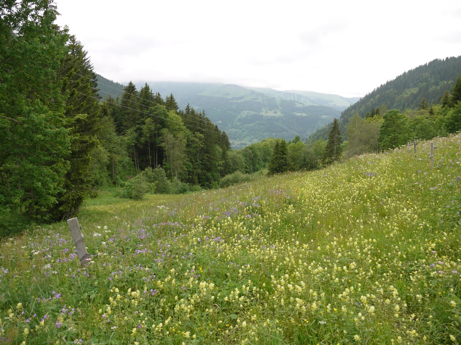
 Looking back towards Crockham Heath
I did this walk almost exactly a year ago and enjoyed the butterfly meadow at the start and so I thought I would re-live the pleasure I had then.
The walk starts at the Craven Arms pub and you walk along the road for half a mile before skirting around Crockhamheath Farm. I had an amusing exchange with the farmer who thought I might be an official of West Berkshire council. He was quite rightly incensed about the behaviour of some dog walkers and I found it easy to agree that their behaviour was unacceptable. We parted on good terms. There weren't quite so many butterflies in the farm meadows as last year.
From here a path led uphill towards the road and Hamstead Park. The bramble bushes on the way up and the thistles at the top were alive with butterflies and it took me the best part of two hours to cover little more than a mile. Not much progress, but a very enjoyable time.
Across the road, you enter Hamstead Park where there are some splendid trees, like this fine Lebanon Cedar.

Leaving the park, you pass Enborne church and walk across fields to a bridge over the A34. Here you begin the return route (although there is an option of extending the walk over the bridge towards Wash Common). After more fields you reach the road and pass by Avery's Pistle, a nature reserve (a pistle is an enclosed field). I had a little look round and got the sheep excited. The ram, with fine curly horns, came to investigate - but not until I was safely beyond the gate.

From here it was back across the fields Crockhamheath Farm to the pub.
Conditions: sunny, hot.
Distance: just under 4 miles.
From: Pub walks for motorists: Berkshire and Oxfordshire by Les Maple (Countryside Books).
Map: Explorer 158 (Newbury and Hungerford).
Rating: three and a half stars.
Sightings
This Broad-Bodied Chaser dragonfly was a spectacular sight. And I was pleased with the photo as well. The brown colour of the body marks it as a female. I confess to not knowing much about dragonflies, but I loved some of the other names in my book: Darters, Skimmers and Hawkers. They would clearly repay a more careful study.

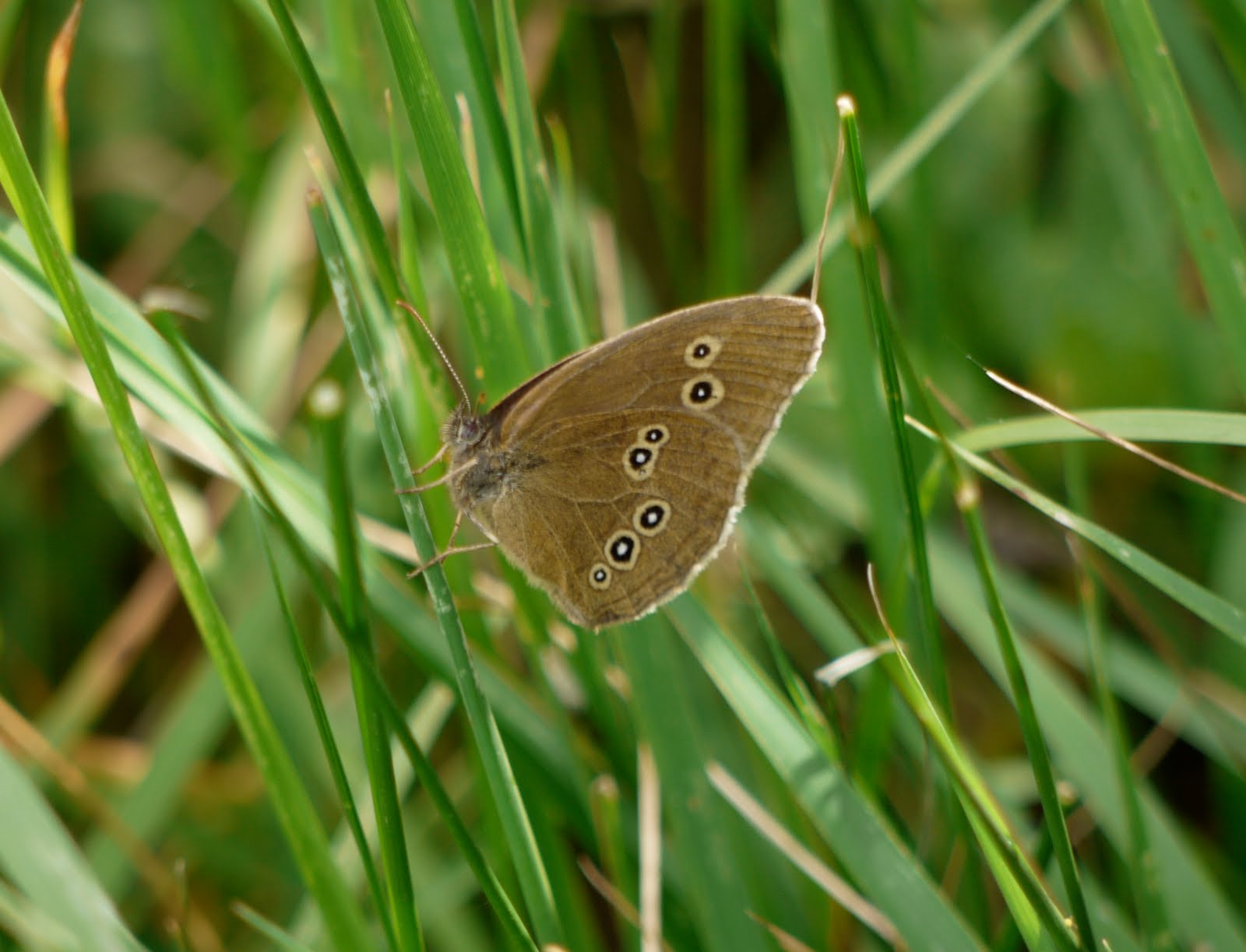
Butterfly of the day
I saw lots of Meadow Browns, Marbled Whites and Ringlets (as well as Large and Small Skippers, Small Tortoiseshells and a lone Speckled Wood). Trying to photograph the Ringlets made it clear how visible the white wing edging is and how clearly the females are paler than the males. I was pleased with this photo of a female.


