Showing posts with label Devon. Show all posts

Tuesday, 11 April 2023

Almshouses of Tiverton and East Devon

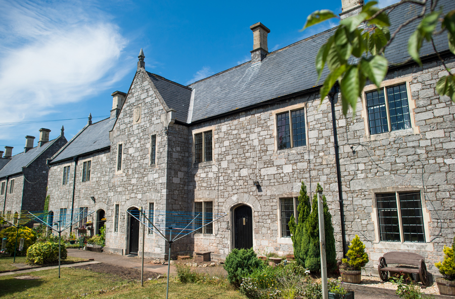
We begin in Wellbrooke Street in Tiverton where there are Waldron's Almshouses with their adjoining chapel. They date from 1590 and were restored in 1987 (the chapel in 1990). The founder, Thomas Waldron, was a merchant. This area of the town, West Exe, was a centre for weaving and spinning from the early 16th century.


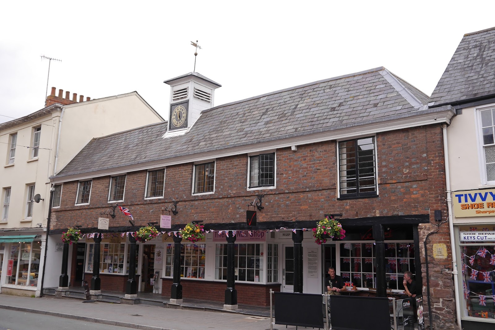
We continues across the Exe and left into St Peter's Street to visit Slee's almshouses, founded by George Slee in 1610 for six single women. The first floor gallery was originally open.


On the left of the almshouses is the Great House of St George, constructed 1603-14 for George Slee apparently after a substantial fire of 1598 which destroyed much of the town.

There are also former almshouses in Barrington St. The plaque reveals that this was "Blagdon's Charity. Destroyed by Fire and rebuilt 1833."

The final main sight, further down Gold St was Greenway's Almshouses, which like Waldron's have an attached chapel. They were founded in 1529. The stonework seems to have been renovated quite recently.There are two further parallel ranges behind dating from 1839 and 1889.

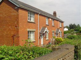
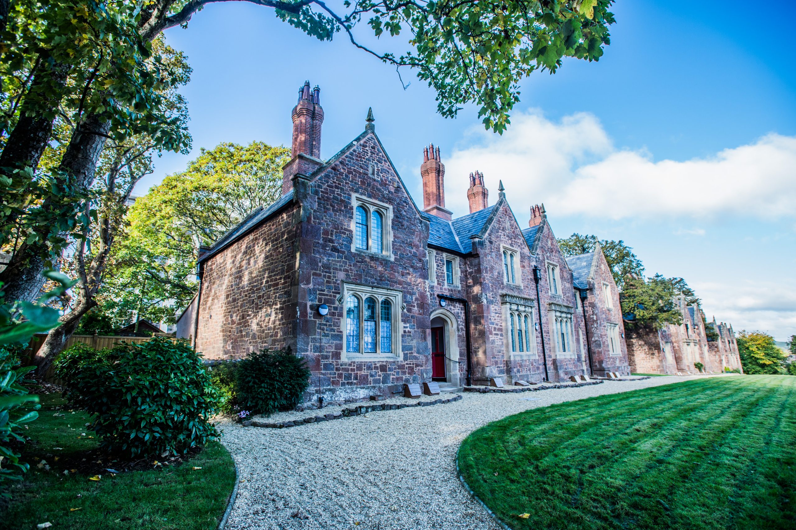
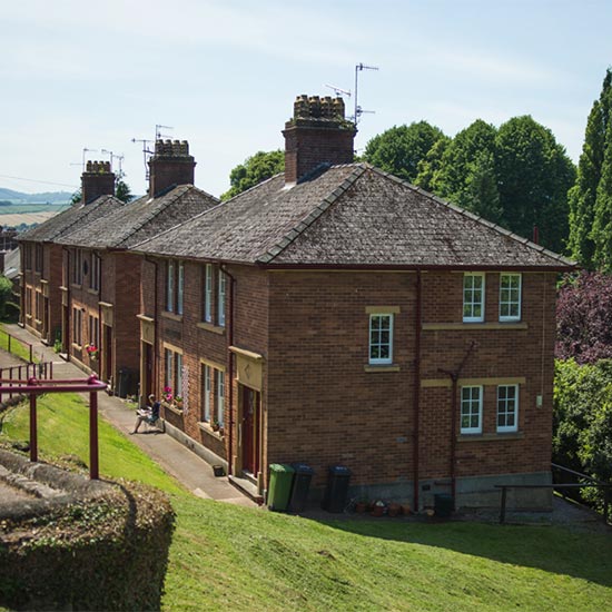
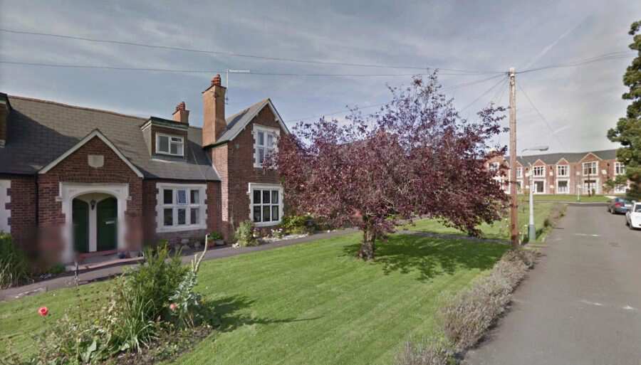
To the east of Tiverton is the Cullompton United Charity who manage a total of 9 Almshouses in the Parish of Cullompton. Below are  a pair of red brick houses known as Grants Homes. 

Picture

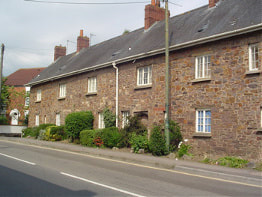
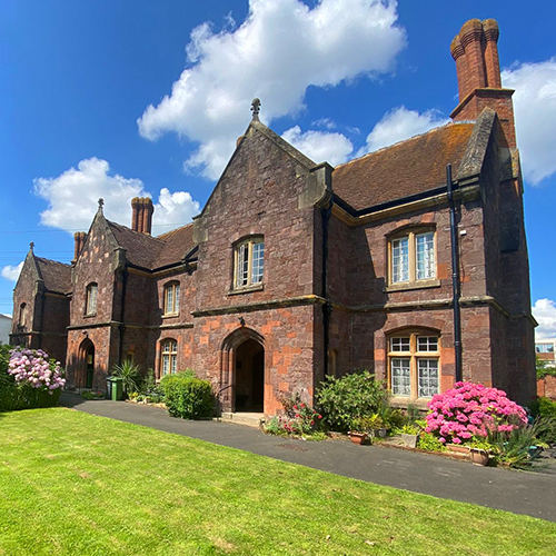
The Higher Street Almshouses consist of six one-bedroom terraced houses.

Picture 

And the final one is a single-person bungalow: Weaver Wood,  

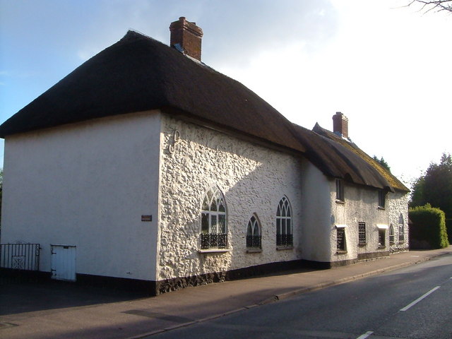
In Honiton, to the south, there seem to be only unclear traces of the St Margaret's almshouses,  Originally it was a leper hospital some distance from the town centre, the cottages were rebuilt as almshouses in the 16th century and then gothicised in the 19th century, presumably as a private house.

St Margaret's Hospital


Monday, 10 April 2023

Almhouses of Exeter 2: The Exeter Homes Trust

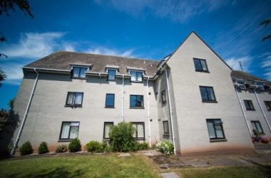
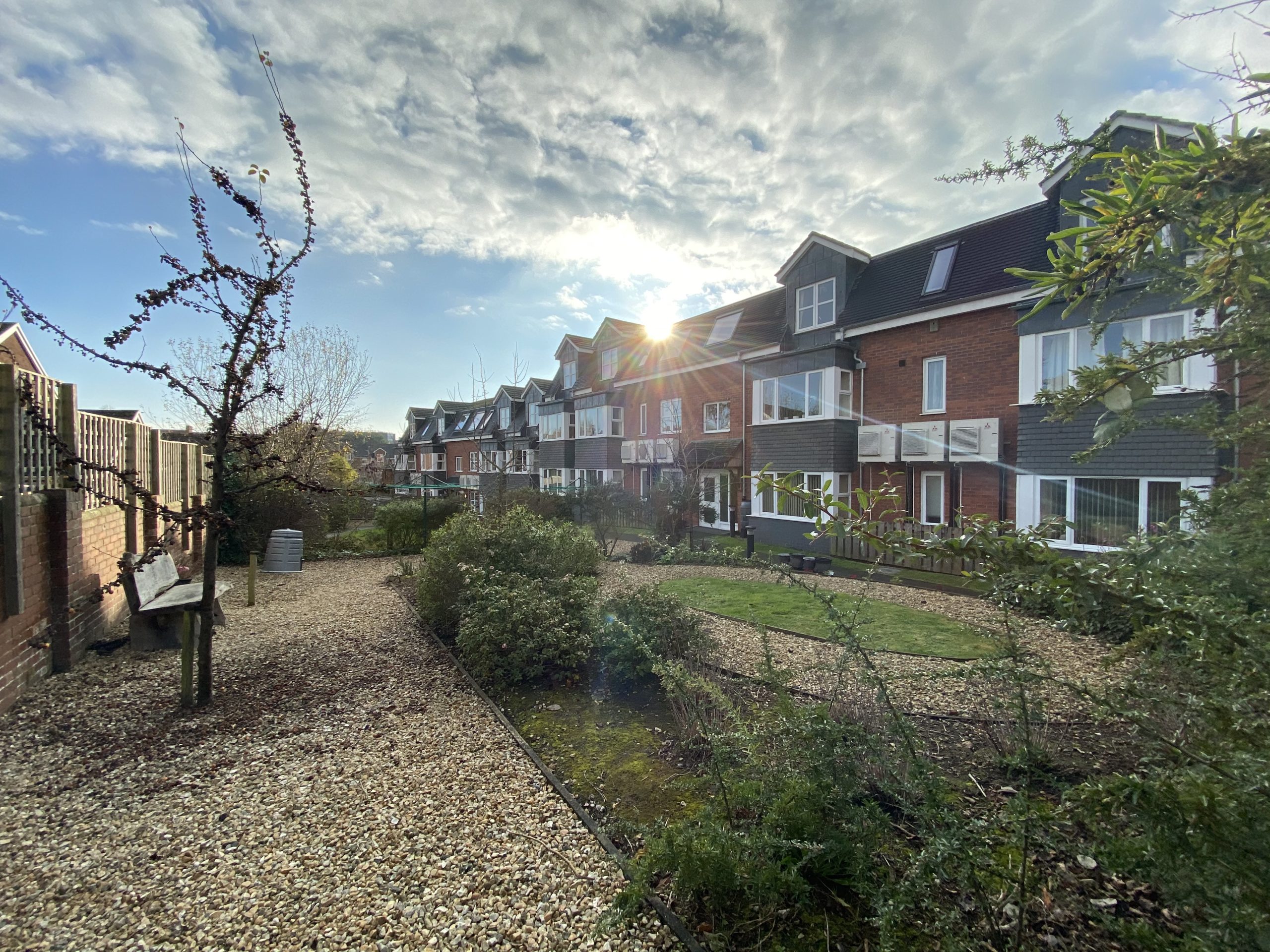
The impressive Exeter Homes Trust is one of the largest Almshouse charities in the country. The Charity owns and manages 143 almshouses in 8 locations throughout the city of Exeter. They range from the Victorian period into Edwardian and on to the present day.


 Magdalen Cottages, 19th century, founded 1863


Liberty Dole Cottages, 19th century


Atwill Palmer, 19th century


Grendon Road, 19th century

North Park, 20th century

Fair Park, 20th century


Livery Dole Flats (1980s)


Culverland Road (contemporary)

Saturday, 8 April 2023

Almshouses of Exeter Part 1


Starting from the Cathedral it is a short walk to Magdalen Street to see Wynard's Almshouses. They date from 1453, but seem to have been rebuilt in 1863 (Pevsner). They make a handsome group. A more detailed account can be found in the Exeter Memories website.

Catherine Street is the the area which suffered the most bomb damage in the second world war. On the right are the ruins of St Catherine's Almshouses (1458) together with St Catherine's Chapel and Canon's house.


In Mount Dinham, also near the centre, are the Mount Dinham Cottages. In 2012 the Mount Dinham Cottage Trust signed a 125 year lease to secure the continuity of the Almshouses which were renovated in 2015.


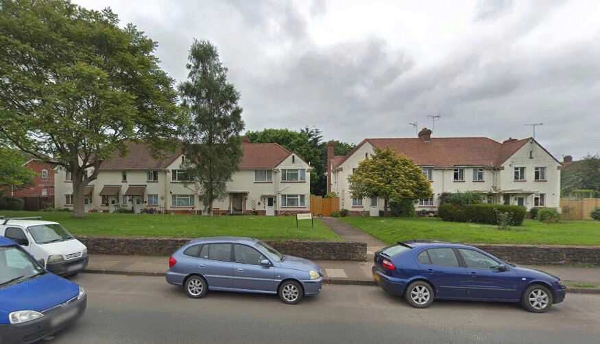
Flaye's Almshouses which can be found on Pinhoe Road in the North East of the City are managed by the Exeter Homes Trust. There are twelve properties: 8 one bedroom flats, generally occupied by single people, and 4 two-bedroom houses.


 In the Pennsylvania area on the west side of the city are the lively Licenced Victuallers' Almshouses built in 1872 by A H Wills.

 File:Licensed Victuallers Almshouses, Union Road, Exeter - geograph.org.uk - 296327.jpg

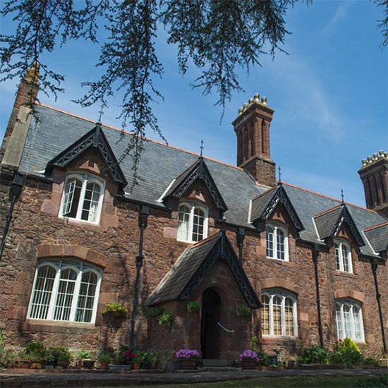
In St. Sidwell’s on the fork between Old Tiverton Road and Blackboy Road is a medieval Chapel and adjacent Almshouses (photo below) beside the St. Anne’s Orthodox Church. Pevsner says that the 16th century Almshouses were restored in 1838; two Tudor style houses were added later by W D Caroe. 

PhotoPhoto


Tuesday, 21 June 2016

Tiverton

The Town Hall

I started my walk around Tiverton in Fore Street, with the Town Hall off to my left. It dates from 1864 and was the work of Lloyd of Bristol - Pevsner describes it as "atrocious, a mongrel affair". It's not great, but perhaps that's a little harsh.

Then down Angel Hill and across the bridge over the River Exe, somewhat canalised, with a view of the tower of St Peter's church.

In Wellbrooke St there are Waldron's Almshouses with their adjoining chapel. They date from 1590 and were restored in 1987 (the chapel in 1990). The founder, Thomas Waldron, was a merchant. This area of the town, West Exe, was a centre for weaving and spinning from the early 16th century

Not far away is Heathcoat's Lace factory, founded by John Heathcote in 1816. By 1822 it was employing a staggering 1500 hundred men and it is still the town's largest employer. The original factory burned down in 1936, but was speedily reconstructed. The building on the right is the factory school of 1843, now the factory shop. I had a nice chat with the former Chief Engineer who happened to pass by as I was taking my photo.


Now back across the Exe and left into St Peter's St where a second set of almshouses, Slee's, founded by George Slee in 1610 for six single women. The first floor gallery was originally open.


On the left of the almshouses is the Great House of St George, constructed 1603-14 for George Slee apparently after a substantial fire of 1598 which destroyed much of the town.

At the end of the street is St Peter's church, a "gorgeous display of civic pride (and ostentatiousness)" [Pevsner] and dating from the early 16th century. The other side of the church has an imposing porch, but this side offered more favourable light.


Next to the church is the Castle, parts of which date from the late 13th and early 14th centuries.


There are more (former) almshouses in nearby Barrington St. The plaque reveals that this was "Blagdon's Charity. Destroyed by Fire and rebuilt 1833."


I now doubled back for a look at the Pannier Market of 1830. I liked the delicate iron columns.


Nearby, in Gold St, is the former Corn Market of 1732 with more imposing columns.

The final main sight, further down Gold St was Greenway's Almshouses, which like Waldron's have an attached chapel. They were founded in 1529. The stonework seems to have been renovated quite recently.There are two further parallel ranges behind dating from 1839 and 1889.


Beyond the end of Gold St, in Station Road, is the Clock Tower. I thought it might be one of the many clocks erected in commemoration of one or other of Queen Victoria's Jubilees, but it dates in fact from 1907.


Conditions: grey, cool, threat of rain.

Distance: about two miles.

Rating: four stars.
Monday, 5 August 2013

Plymouth city centre

 The Tudor House

We had planned to continue the Coast Path around Plymouth, but the forecast was so bad, including severe weather warnings, that we ended up making a late decision to do a city walk around Plymouth instead. One or two of the photos were obviously not taken today!

We started at the Barbican and where the Coast Path goes left, we turned right along the side of Sutton Harbour and immediately detoured left in New St to see the Tudor House and the similar Elizabethan House opposite it in this narrow lane. Both have jettied-out upper storeys.

We turned into Southside St and walked to the end to see the impressive Plymouth Gin Distillery, with its curving facade. It dates from 1793 and incorporates parts of the Blackfriars convent of 1383 - the old door can be seen to the left of the arched entrance to the distillery.


At the end we headed towards the newer part of Plymouth and stumbled on the so-called Merchant's House (Pevsner refers to it more prosaically as 33 St Andrew St). Unusually, it has stone side walls and a timber-framed front. The amount of window is very impressive. It too is Tudor.

Nearby, and not mentioned on the Plymouth Walks website, is the Prysten House, which Pevsner tells us dates from the late 15th century and was built by Plympton Prior. It is a fine sight, with a distinctly medieval appearance.


We now walked up to the huge St Andrew's church - the largest parish church in Devon - dating from 1430-90. It was restored in Victorian times and again after bomb damage during the war.


Immediately next door is the Guildhall complex including the Assize Courts and former city Treasury. We approached from the restored end - again after wartime bombing. What you see is late Victorian in a French Gothic style, with tourelles on the corners. Apparently the building was saved from demolition by a single vote of the Council in 1951.


At the end is the modern entrance, a curious combination of a squat octagonal tower and what looks more like an Italian campanile than anything else. This new part was opened in 1959, at the same time as the renovation concluded.


Opposite this group is the rebuilt town centre, a dispiriting collection of rather ugly concrete buildings. The whole of the centre was destroyed in the "Plymouth blitz" on 21 and 22 March 1941. I gather than for students of town planning Plymouth is a significant historical case study as it was, uniquely, constructed according to a single plan, the work of Sir Patrick Abercrombie. Kevin McCloud has hailed it as "beautiful and heroic" and is campaigning with English heritage to get it listed (Daily Telegraph 8 June 2011). However, even the City Council have apparently resisted previous efforts at listing. The one obvious good thing is that the centre is spacious, with wide pedestrianised spaces and thoroughfares.

We walked down the hill to see one last impact of the blitz. The Charles Church is seemingly so called because the residents had to petition Charles I to allow the existing single parish of St Andrews to be partitioned into two and a new church to be built. Construction started in 1640, but was suspended during the Civil War siege of Plymouth (1642-6) and not completed until 1658. The spire was was erected in 1767, replacing the original wooden one covered with lead. His chief historical interest is that "in spite of its date it is wholly gothic in character and largely in detail" (Pevsner).


The church was gutted in the blitz and was left derelict until 1957. At that point it was acquired by the City council who carried out preservation works. It is now a memorial to the civilians of Plymouth who died as a result of air raids during the war. It is an extremely powerful and poignant reminder.

From here we meandered back to the Quayside where we admired the proportions of the Custom House of 1810 ...


... and the pleasing collection of old buildings on the other side leading down to the Barbican.


Conditions: mild, but mainly grey and with a threat of rain

Distance: about 3 miles.

Rating: three and a half stars.

Thursday, 27 June 2013

Exeter


 Exeter Cathedral

After three wonderful but tiring days of walking along the coast path, we decided to have a look at Exeter on our way home. I had found various themed walks on the City Council's website, but none of them printed out very clearly and so we improvised a single all-purpose walk. We started from the Cathedral and Quay car park (as being the most convenient for continuing our journey home) and began by walking to Magdalen St to see the Wynard's Almshouses (almshouses are a special interest of mine). They date from 1453, but seem to have been rebuilt in 1863 (Pevsner)  and make a handsome group.


Now we walked briefly along South St past where the South Gate once stood and followed a path by the city walls. The walls are apparently 70% complete and date originally from Roman times, with further developments in the Saxon, Norman and Medieval periods.

At the end of this section of wall, there is a delightful walkway over Cathedral Close. The gap was cut into the wall in 1754, when a tower was removed, and the bridge was built by the then mayor in 1814.


The Cathedral Close is is, as a result of wartime damage, more open than would be typical. The right hand side contains a very pleasant group of 18th century buildings.


At the end is the splendid Mol's Coffee House building which dates from the early 16th century, although it bears the date 1596. The Dutch gable is a late Victorian addition. To its left is the 15th St Martin's church, now redundant. The tower was added in 1675.


We admired the great Norman towers of the Cathedral, which date from the early 12th century and are arranged in an unique way, one each side of the nave. We then went round to see the facade, which like most of the rest of the cathedral is 14th century, but it is at the moment mostly hidden behind scaffolding, hence this truncated picture.


We walked up Catherine St towards the area which suffered the most bomb damage in the second world war. On the right are the ruins of St Catherine's Almshouses (1458) and St Catherine's Chapel and Canon's house.


From here we headed across to Exeter Castle and admired the Norman Gatehouse of Rougemont castle, as the original castle was called, after the local red sandstone from which it was built. It dates from 1068 and has the surprising distinction of being the oldest standing castle building in Britain.


We walked through the very pleasant Rougemont Gardens and round the side of the Royal Albert Memorial Museum, an impressive building of 1868 by west country architect John Hayward.


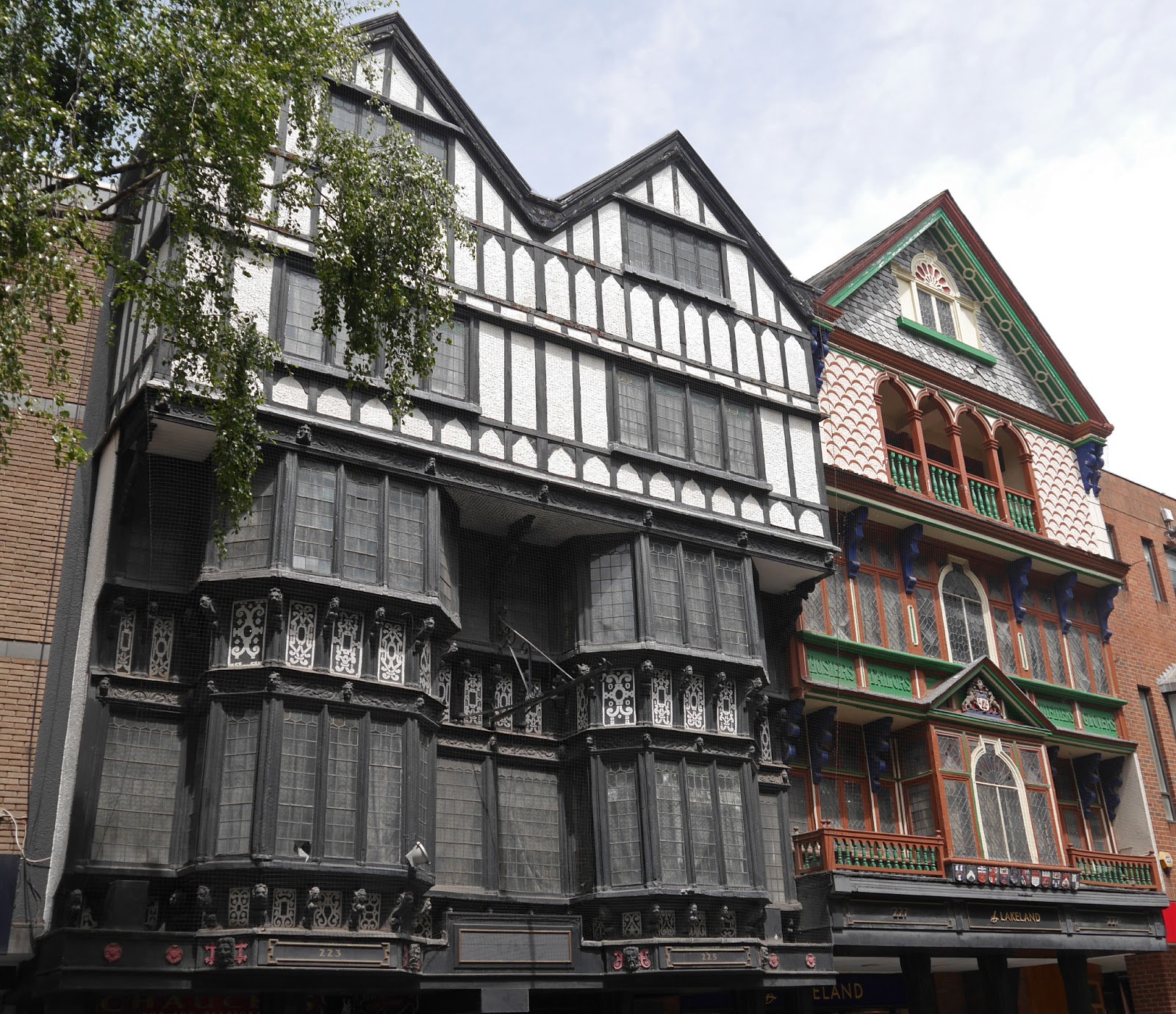
Now into the High St, where we enjoyed this pair of, presumably late-Victorian, elevations.


We now headed south down the High St in search of the Guildhall. It dates from 1468, but the part which projects on columns over the street was the result of a re-modelling in 1592. Pevsner describes it thus: "as picturesque as it is barbarous", but most others seem to focus on the picturesque.


High St leads into Fore Street , where we passed the unusual 14th century St Olave's church ...


... and then turned right to find St Nicholas Priory.


This is a bit of a misnomer as all that remains of the Benedictine Priory, said to have been founded in 1080, is the odd-looking guest wing. The culprit in this case was Henry VIII and his Dissolution of the Monasteries, beginning in 1536.

Finally, we headed towards the Quay, which seems to have been nicely modernised.


The Customs House of 1681 was the most impressive building.


We were now of course close to the Cathedral and Quay car park, so we repaired there and continued our journey home.

Conditions: warm, but cloudy.

Distance: about 3 miles.

Rating: four stars.