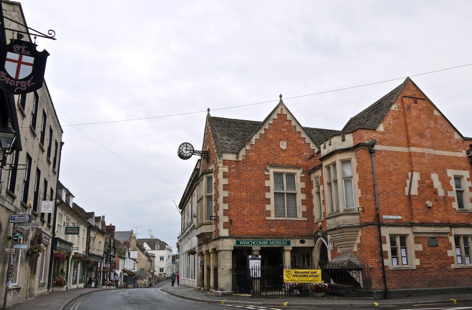
Winchcombe
Last month we completed the Cotswold Way with Merv and Pud. After some research and discussion, we decided to do the Oxfordshire Way next. We are all really looking forward to this, but it struck me that it would nice to join it up to the Cotswold Way - and that this could readily be done by walking from Winchcombe to Bourton-on-the-Water, where the Oxfordshire Way starts. We studied the map and saw that we could leave Winchcombe on either the Wardens Way or the Windrush Way. We decided on the latter, as offering a more lowland route.
The great discovery, made as I started writing this post, is that the Windrush Way is a short self-contained 14 mile walk which simply connects Winchcombe and Bourton. How neat is that?
We set off from the centre of Winchcombe, avoiding the Rememberance Day ceremony, and headed across fields soon to pass close by Sudeley Castle. It looked a lot less perfect from close up (I took a nice photo from a distance when we left Winchcombe on a different angle during the Hailes Abbey to Cleeve Hill leg of the Cotswold Way).

After leaving the surrounding parkland, you pick up a track which meanders through a wide valley bottom, with an imposing ridge to the left. As it started to climb, we looked back at the route of the Cotswold Way climbing towards Belas Knap. We were glad today's walk was less demanding.

Further up the track, we paused again to look back towards Winchombe: Sudeley castle is in the centre, and the town and church tower are to the left.

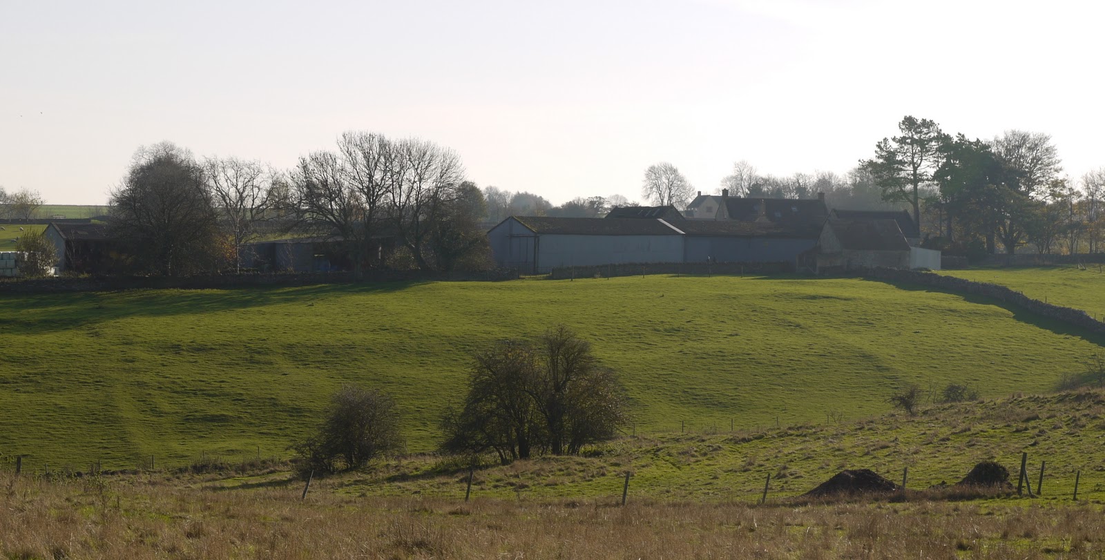
We passed the wonderfully-situated Spoonley Farm and emerged onto the Hawling-Winchcombe road, which we followed for a while.
We took a right to head south towards Hawling and noticed a clear change in the countryside. Now it was more like downland, with several narrow V-shaped valleys heading to the east.

We turned east just before Hawling and could see the site of the medieval village of Hawling marked on the map: the line of the former streets is clearly visible. (Well, it was once Merv pointed it out.)
We ended the walk near Hawling Lodge, but not before we had spotted a fairy ring.

Conditions: mild, sunny - rather wonderful for the time of year.
Distance: 6.5 miles.
Map: Explorer OL45 (The Cotswolds).
Rating: four stars. Wide open spaces. Still the Cotswolds, but very different from the Cotswold escarpment.
Sightings
Still a few butterflies about: we saw a Red Admiral and a Peacock.
No comments:
Post a Comment