Farlington Marshes
The final leg of the Solent Way! We set off from the car park at Farlington Marshes, following the sea wall on the right and the marshland on the left. The tide was out so all that was visible on the right was mud. The marshes form a nature reserve and were clearly a good site for birding. Reed Warblers seem to have been the main object of attention. There were also lots of Brent Geese and I have since discovered the extraordinary statistic that 20% of the world's population of Brent Greese over-winter in the Solent area. A small-scale murmuration of Starlings caught our attention as well.
We followed the track which leads around the harbour/reserve (depending on whether you look inland or out to sea) and reached a large lake with a series of stands which a sign told us had been installed for gulls to roost on.

The marshes ended pretty much where the path came close to the busy and noisy A27. We carried on, with the harbour floor now covered in reeds.

In lieu of anything much else to report in this area I include the Solent Way way-mark.

As we approached Langstone, the Langstone Bridge came into view. It connects Hayling Island to the mainland. I remember holidaying there as a child.

We paused at the excellent Royal Oak pub for a drink. It was so pleasant a day that most people seemed to be sitting outside. Resuming the walk we passed the one-time Langford Mill (tidal).

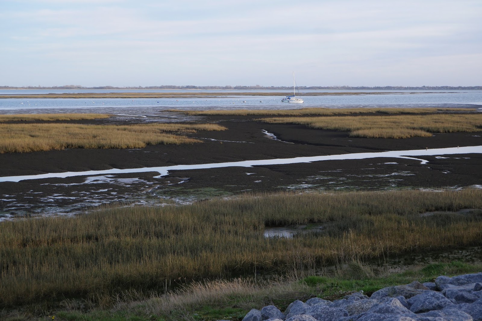
As the tide was still out - and would be until the evening - we decided to follow the lead of many others and walk along the back of the harbour rather than take the inland path.

After a couple of miles we reached Emsworth and followed the path around the delightful Emsworth Millpond. The water was so shallow and still that you could still see ice on the surface.

About two-thirds of the way round the light over the area outside the millpond was so lovely that I just had to take a picture.

We passed the one-time tidal mill, now the headquarters of a sailing club and headed into the town to regain the car and head home.
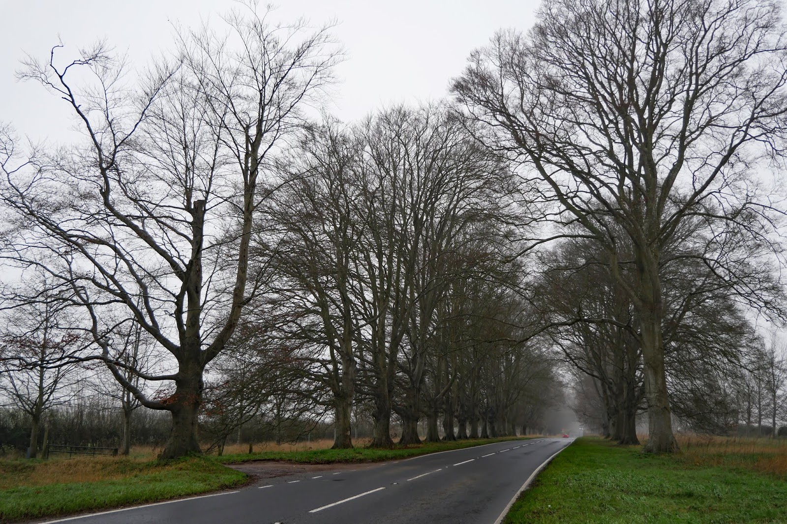
Conditions: a lovely sunny day.
Map: Explorer 120 Chichester, South Harting and Selsey
Distance: about 7.5 miles.
Rating: 4 stars.