Sunday 30 April 2017

Westwood Ho! to Appledore (South West Coast Path 91)

Beach at Westward Ho!

A dismal day for our walk from Westward Ho! to Appledore: grey, cool and raining. Just for once I left my camera behind and relied on my iPhone, although the picture above is one I took yesterday evening. It shows the massive sandy area which stretches (at least at low water) from Westward Ho! across the estuary of the Taw and Torridge rivers to Saunton Sands. The Saunton Sands hotel is the white building on the left in the photo.

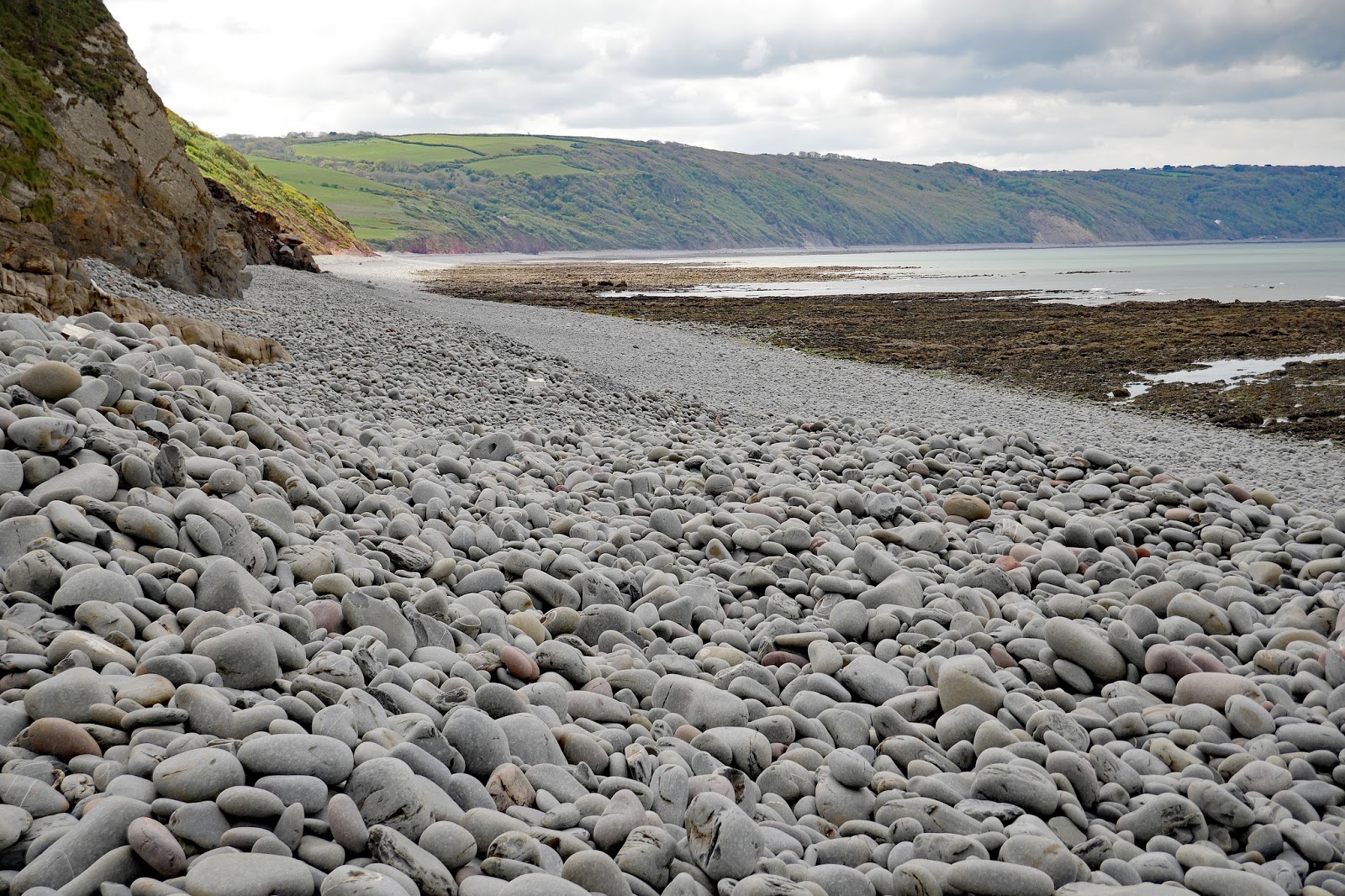
We walked along the sea front and past some seaside shops including one selling Foot Ball's. We walked up behind the beach, but a bit disappointed that we could nothing of it because of the steep  ridge of pebbles. There were some hardy surfers out and it would have been diverting to watch their efforts. The ridge looked man-made, but we later saw an interesting information panel which explained that it was the result of longshore drift. The pebbles start life in the cliffs around Hartland Point and are knocked off by the action of waves and are polished on their way down the coast.

After a while we skirted the golf course, enjoying the helpful warning signs BEWARE GOLF. This was the view looking back to the town.


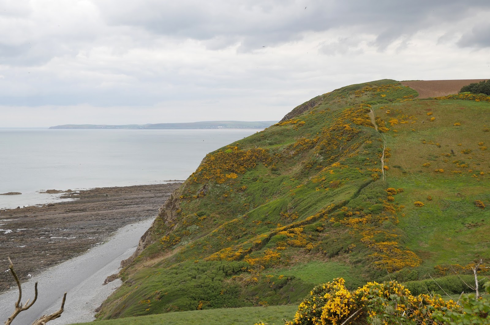
We were now near the small protected area of dunes and could again see the open sea across to Baggy Point.

Shortly, we reached the wide estuary mouth. With suitable magnification, the other side of the estuary can be made out just in front of the white hotel building.


The path now curves round until you are walking along the other side of this projecting area of low-lying salt marsh. This was the view across to the north end of Appledore. It is a bit confusing because the are to the right is not part of the Torridge but a a sort of bay off the estuary, marked as Skern on the OS map.


Here is a more representative view of Appledore taken across the Torridge from Instow on a previous trip.

We followed the edge of Skern and crossed Appledore Bridge to reach a road, Long Lane, which in turn led to a pth which took us into Appledore. We entered the town through a lovely street of cheerfully painted characterful houses. It was of course now too wet for even a iPhone photo.

Conditions: cloudy, cool, wet.

Distance: 5 miles.

Rating: Easy.

Map: Explorer 126 (Clovelly & Hartland).

Rating: two stars. One of those stretches you wouldn't do unless you were trying to complete the entire coast path.

Saturday 29 April 2017

Peppercombe to Westward Ho! (South West Coast Path 90)


 Towards Westwood Ho!

We resume the Coast Path at Peppercombe, having walked down from Horns Cross, and head towards the coast. Soon we have a nice view back showing Peppercombe Beach, another gravely one, and Clovelly (the white bit in the heavily wooded coast).


The way ahead stretches out before us (top picture). The first big hill is Babbacombe Cliff, but the one beyond it, Cockington Cliff will prove the greater challenge.

We then came upon the random patch of red sandstone that we saw from afar yesterday. We saw lots of this in South Devon, around Buddleigh Salterton, but it is surprising to find it here.


Now there was a classic Coast Path descent and ascent bringing us to Babbacombe Cliff. We noticed that there were many fewer Bluebells than we had seen on previous days and hypothesised that the change in underlying rock/soil might be responsible. There were also astonishing numbers of some type of black fly, with more on the way as many were mating. Cockington Cifff lay ahead.


The path snaked back and forth to descend onto the beach. This is quite unusual on the Coast Path, usually there is a little bridge at the back of the beach which links the descending and ascending paths. The beach was very stony and had quite a lot of driftwood, which put us in mind of the driftwood-full beach we saw in New Zealand, Gillespie's Beach.


 The smooth rocks made a great sight looking back from a low perspective.


We met two fellow walkers at this point. They unwisely commented that they had thought that Ange might be Theresa May. And then made it worse by saying that this was meant as a compliment. Still be had a nice brief chat with them. They were impressively walking from Appledore to Clovelly, about 16 miles. We wished we could do the same.

You can make your own mind up about the supposed resemblance. 

Image result


We duly made the steep climb up to the top and most of the rest of the walk laid itself out before us. We would descend to clifftop level  and head along, with only minor climbs, to skirt the Kipling Tors on the outskirts of Westward Ho!


 And so it was. I took a view of the impressive rock shelf.


As we approached Westward Ho! Increasing amounts of beautiful Sea Pink became visible. Once we rounded the Kipling Tors, we were there, passing car park, holiday park and so on. A helpful sign on the Pier House hotel explained that a 600 foot pier was opened nearby in 1871. Less than 3 years later it was badly damaged by a storm and subsequently dismantled. Rather poignantly, the original stanchions can still be seen.


The tide was out and a massive expanse of sand was visible stretching past the mouth of the estuary of the rivers Taw and Torridge and the length of Saunton Sands. This picture shows Baggy Point, just beyond Croyde Bay.


We were now in Westward Ho! – the only place in the UK to have an exclamation mark in its name. Apparently there is a town in Canada which has two exclamation marks: Saint-Louis-du-Ha! Ha!

Why Westward Ho!? The town was named after the novel of the same name by Charles Kingsley published in 1855. The book was a bestseller and entrepreneurs saw the opportunity to develop tourism in the area by effectively creating a new holiday resort named after it.

Conditions: cloudy and cool.

Distance: 5.4 miles.

Rating: Strenuous.

Map: Explorer 126 (Clovelly & Hartland).

Rating: four stars.

Friday 28 April 2017

Clovelly to Peppercombe (South West Coast Path 89)

The entrance to the Hobby Drive

The village of Clovelly is located down a steep cobbled hill from the edge-of-the-village car park.  The Coast Path passes by the car park and visitor centre and above the village – unless you make the detour you don't see it. For this reason, I have done a separate post about the village.

The route eastwards from Clovelly is initially the Hobby Drive. This was built between 1811 and 1829  for Sir James Hamlyn Williams, the lord of the manor, and terminates at Hobby Lodge which presumably explains its name. We had otherwise been wondering what Sir James's hobbies were.

The Hobby Drive follows the wooded contours above the sea as they wind in and out for three miles. The road is made of scalpings and so the surface is a bit rough. It is however almost on a level. After a while there are some white benches by the side of the Drive which offer a nice view down to Clovelly's tiny harbour.


A bit further on a memorial bench commemorates an extension of 833 yards to the Drive by Frederick and Christine Hamlyn in 1901.


And later there is finally a clear view of Bideford Bay. Westward Ho! and Saunton Sands can be seen on the horizon.


At length, and it did seem to go on and on, we took a left turn to emerge onto a field edge path above Barton Wood - it could be in Hampshire. Then into a beautiful section of beech woods with a wonderful carpet of bluebells. The lime green leaves and deep blue flowers made a great contrast.


After another section of field, there is a further section of beech, these leaning dramatically over the path in a dramatic sculptural way, not yet in leaf.


We continued along the high cliff into Bucks Woods and made the quite steep descent to Bucks Mills


This inevitably led to a steep climb through Worthygate Woods and then along just above it. This offered another, closer, view of Bridport Bay.


Shortly we found a bench and paused to enjoy the view back towards Clovelly and Blackchurch Rock beyond it.

Now we entered the unusually named Sloo Wood. This was a very pretty area, dominated by Sessile Oaks and having a much greater variety of wildflowers than we had seen previously: lots of bluebells, but also Primrose, Wild Garlic, Lesser Celandine, Primrose, Greater Stitchwort, Red Campion.


Here are some of the Sessile Oaks which were predominant in this area.


And here is the characteristic lichen that often covers them.


We emerged above Peppercombe Beach (a bit of a misnomer, as it appears to be gravel) with a nice view eastwards including a bright splash of red sandstone, last seen in South Devon between Buddleigh Salterton and Exmouth.


This section ended at the path which leads to beach in one direction and Horns Cross in the other. It was marked by a splendid copper beach.


It only remained for us to walk the mile up to the main road at Horns Cross.

Conditions: cloudy, but bright.

Distance: 5.6 miles.

Rating: Strenuous.

Map: Explorer 126 (Clovelly & Hartland).

Rating: three and a half stars.

Clovelly

Clovelly

Clovelly is an interesting place. Pevsner calls it "one of the show villages of England". It dates back to the building of its pier in 1593 by then then lord of the manor, George Cary. At some point the Hamlyn family took over from the Carys as lords, although they don't seem to have had much luck with their manor house, Clovelly Court. It was built by the Cary family in 1681 and partly destroyed by fire in 1789 and again in 1944. You can visit the gardens.

The village remains privately owned by the Clovelly court estate and has been consciously preserved in its picturesque and traditional estate. No cars are allowed and visitors arriving by car park in large car park above the village and enter it through a welcome centre where they pay a charge for entry rather than for parking. Polperro is the only comparable example I can think of.

The village consists of one main street which descends steeply to the harbour and this post essentially describes the walk down from the vistor centre. The first thing you see, off to the left, is Mount Pleasant. The cross is a memorial to Clovelly residents who died in the First World War. Mount Pleasant was donated to the National Trust in 1921 by Christine Hamlyn, for the use of the village in perpetuity. There is a great view across Bideford Bay.


This is the path down to the village. It is very steep, made of cobbles laid horizontally on their sides and very slippery when wet.


At the bottom it turns sharp left to become the main street. On the right at this point is the Queen Victoria memorial fountain of 1901. It was designed by Lady Feodora Gleichen, a cousin of Queen Victoria and the first female member of the Royal Academy.


A consequence of the absence of cars and the steepness of the street is that is difficult to get supplies and goods down to the village. The partial solution is the use of wooden sledges - boxes on wooden runners. There is also a road which runs around the outside of the village to a car park behind the Red Lion pub by the harbour.


The picture at the head of this post shows the view down past the other pub, the New Inn. And this is the next section. Some houses are Georgian, but many were built or rebuilt around 1900. The majority are whitewashed, which contributes strongly to the uniform character.


They are however placed in a higgledy piggledy fashion and many have a strip of earth in front which is used for flowers. The overall effect is extremely picturesque. There are surprisingly few shops.


Finally, you come to the small harbour and the Red Lion, seen here from above, with the path heading downwards.


To complete the picture, here are two photos looking uphill.


Conditions: cloudy, but bright. (The Mount Pleasant picture was taken on a different day of course).

Distance: It's probably only a mile there and back, but the cobbles and steepness make it one of the most challenging miles of urban walking.

Map: Explorer 126 (Clovelly & Hartland).

Rating: four stars.

Thursday 27 April 2017

East Titchberry to Clovelly (South West Coast Path 88)

 East Titchberry Farm

We resumed the Coast Path at East Titchberry Farm, owned for some reason by the National Trust, and reached the coast above Shipload Bay. We were immediately struck by the amount of bright yellow gorse which illuminated this picture of Eldern Point. On the horizon, Morte Point on the other side of Bideford Bay is the more northerly and Baggy Point can be made out to the south of it. In between lies Woolacombe Bay.


Lundy was directly out to sea and more gorse gave some framing to this distant picture of it.


We headed now along the clifftops of Gawlish Cliff and Fattacott Cliff with fields inland of us. Soon we saw a curious triangular rock formation on a rocky spit of land up ahead. I made various efforts to photograph it, but the results were not very satisfying. This was probably the best.


At the west end of Beckland Bay we had our first descent: it was like being in a garden, with steps and plantings of ferns and bluebells.


Further along there was a great drift of bluebells on an open hillside. We were quite surprised: we normally only see significant numbers of bluebells in a woodland setting. Is the milder climate something to do with it?


Shortly after this, a slightly better view of the odd rock, now identified as Blackchurch Rock, was available.


At the bottom, Blackchurch Rock could be more clearly seen at the far end of Mouthmill beach ("beach" is a bit of a misnomer as it looks more like the residue of a quarry). Apparently the rock is the result of natural erosion however.


On our left was a large rock face housing a colony of nesting Fulmars.

We now climbed again, quite steeply, and then descended through Mouthmill Woods, with more drifts of bluebells, to reach Mouthmill Cove, with the beach in front. 


Here a small stream reached the sea, passing a number the mill on the left. The bridge across the stream was, mysteriously, decorated with plastic ivy.


We headed inland and then suddenly took a steep path uphill towards Gallantry Bower (where do they get these names from?).


Emerging onto a grassy clifftop with masses of young broom we had our first views of Clovelly Court. As we got closer, we passed the Angel's wings. It was made by (or more likely, for) Sir James Hamlyn Williams in 1826 so that he could look across the bay to Youlston where his daughter, Lady Chichester, lived. It is quite charming. The angels' wings were very like those we saw last year in St Jon Manthorpe church in Norwich.


And then we entered the domain proper of Clovelly Court: the farm outside the park, with the house on the hill. It was good the see that new trees were being planted in the parkland, which otherwise was looking a bit bare.


Not too long after this we reached the Clovelly Visitor Centre high above the village where this leg of the Coast Path ended. The village of Clovelly is located down a steep cobbled hill from here. The Coast Path passes above the village and unless you make the detour you don't see it. For this reason, I have done a separate post about the village and Manor House.

Conditions: cloudy, but bright.

Distance: 6.5 miles.

Rating: Moderate.

Map: Explorer 126 (Clovelly & Hartland).

Rating: four stars.