Showing posts with label West Sussex. Show all posts

Thursday, 13 October 2016

Petworth to Sutton End (Lord's Piece)

Petworth House and church seen from the east

We are back on the Serpent Trail with Viv and Giles after a longish break. We set off from the car park in the centre of the town and walk through quiet streets towards the eastern edge. I liked this terrace of houses - somewhat like almshouses, but more probably estate cottages.


A bit further on we enter a narrow track passing through an unusual type of stile - in fact, a turnstile. I have never seen one before in the country.


At the bottom we cross the A283 and, ignoring a second turnstile, begin our descent into a superb glassy valley


When we reach the far side we enjoy the view back and I am struck by how fine are the horses grazing in the top field. I am not usually that interested in horses, but these seem especially impressive.


We pass a house and enter an area of woodland, continuing east along a pleasant track. We emerge at a minor road and cross into Flexham Park, a large area of commercial woodland. At the end we pass through the hamlet of Bedham and turn off to the south. We pause for a picnic in a rare area of open country and enjoy the splendid views towards the South Downs.  Unfortunately, the sun is (reasonably enough at lunchtime!) in the south too, so this photo isn't much.


Continuing, we soon in more woodland and notice these curious tent-like shapes off to the left. Gradually it dawns on us that they must be for BMX biking or something similar.


The route gradually becomes more open and we pass through the edge of the village of Fittleworth to reach Hesworth Common. The sun through the trees was delightful.


We emerge onto a small plateau, not high (only 69 meters in fact) but offering fine views to the S0uth Downs - the view is actually very similar to the one above - we are only a couple of miles further south.


I enjoyed a nostalgic moment passing this tree with its swinging rope. There used to be a similar one, with an old tyre to hold onto, in Oxshott Common near where I was brought up.


At the edge of the Common we pass the attractive Hesworth Grange ...


... and emerge onto the B2138 at Lower Fittleworth, where The Swan Inn has an unusual gantry supporting its signboard. We saw something similar in Stamford earlier in the year and that one was originally used as a gibbet. I somehow doubt that the Swan's was also.


We follow the road for a bit, cross a bridge over the River Rother.


A track to the right takes us to our end point at Lord's Piece car park, passing, rather surprisingly a large showroom for sofas. From the car there are lovely views of the scattered trees in what feels like the park of a great house. Looking on the map I can see that Coates Castle (an 1820 Gothick manor house) is just to the north, so perhaps this impression is correct.)


Conditions: quite cold, but also sunny.

Distance: 8.8 miles (distance now covered 40.7 miles).

Rating: four stars.

Saturday, 27 June 2015

Clayton Court to Henley (Serpent Trail 4)

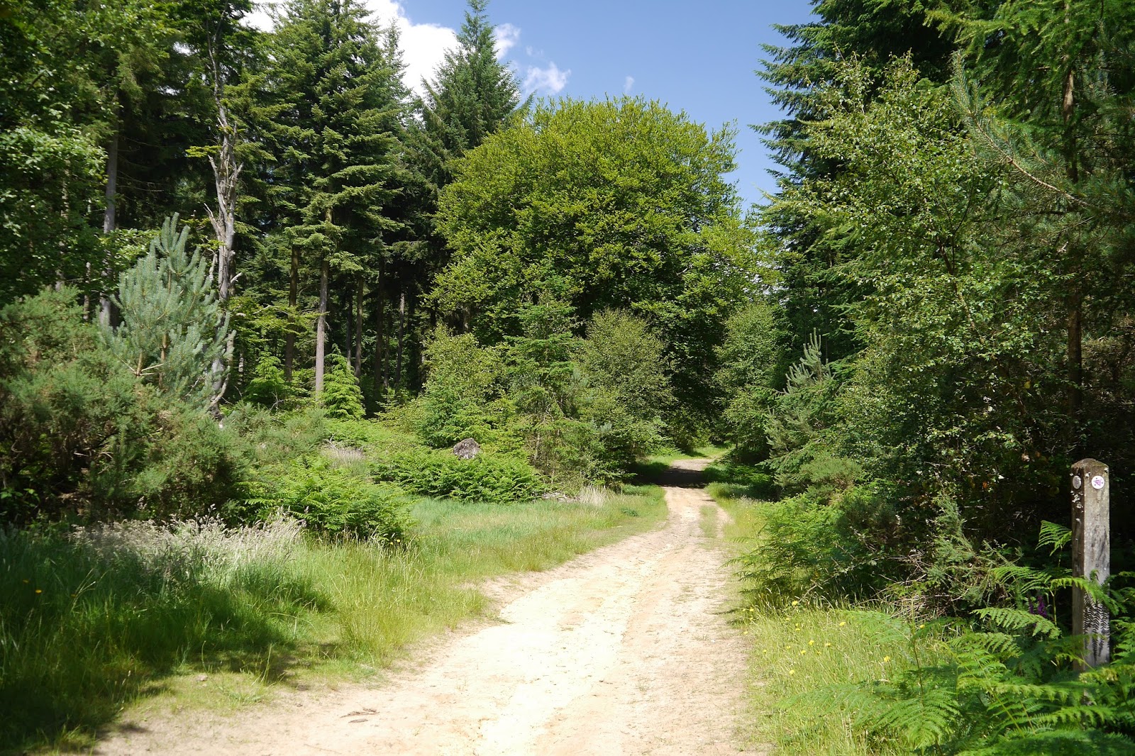
A trail in Tullecombe Woods

We are back on the Serpent Trail with Viv and Giles and the name is starting to make sense. We started in Haslemere, headed south to Black Down and then west to reach Rake. Resuming just south of Rake, we are now heading east to Henley, more or less parallel with the path we trod in May. After Henley the path heads south east to Petworth then west again through Midhurst to Petersfield where it finishes.

We walked up the road from where we had parked on the edge of Durford Wood and quickly turned into a valley path towards Tullecombe Woods. Just as before we reached the main part of the woods, we were entertained by a group of bike riders hurling themselves down steep winding tracks through trees.


A winding path led through deep woodland and up this lovely sunken lane to emerge on a road.


 We skirted the Fyning Hill estate to walk through more woodland (Rondel Wood) and emerge onto a hillside track which offered some nice open views to the north. This was very welcome as we had found the previous leg to be quite claustrophobic


This brought us to the hamlet of Borden and after two further wooded sections we found a wonderful wide open buttercup meadow where we enjoyed a picnic in the midst of many Meadow Brown butterflies. More open fields followed until we reached  a pretty cottage at the entertainingly named Titty Hill.

We set off across Stedham Marsh ...


... and then crossed a road and made quite a steep climb up to Woolbeding Hill. We followed the ridge round to the viewpoint, passing a group of lads who had chosen that spot for a barbecue. The views southwards were wonderful.


We continued into some trees and were struck by the beauty of this grass in the dappled sunlight. The photo doesn't really do it justice.


A track led to Scotland Farm, with a rather splendid barn.


Then we walked across a field and then through more woodland, crossing the busy A287 (mad drivers apparently on the way home from Goodwood) and finishing with quite stiff climb to the Duke of Cumberland at Henley (at about 139m) where we slaked what was now a very well-developed thirst.

Conditions: warm and sunny.

Distance: 8.4 miles. Distance now covered 24.1 miles.

Map: Explorer 133 (Haslemere and Petersfield).

Rating: four stars.

Wednesday, 25 June 2014

Fernhurst

St Margaret of Antioch, Fernhurst

We met Viv and Giles in Fernhurst for our latest walk and headed towards Black Down, soon passing the village church. It is a very picturesque church with a late Victorian look about it, but strangely not described in my early edition of Pevsner's Surrey. From the church's website I learn that it is Norman in origin, but what you see now is mainly indeed a Victorian restoration by Antony Salvin.

Church Road emerges into the village green with a collection of pleasant houses, a pub and a cricket pitch across the road.


We take a path just to the right of the pub and head upwards through Reeth Wood to emerge by a house called Reeth. On the way we help a group of boys, identically kitted out with haversack, sleeping roll and wooden staff to orientate themselves towards Cotchet Farm.


We walk along the lane from Reeth enjoying the fine views across open country, looking South West towards Henley (where we plan to have lunch) and further west to the South Downs in Hampshire.

At the end of the lane we resume our climb up a narrow track which eventually becomes a stream bed to reach what we thought was the viewpoint marked dramatically on the map as the Temple of the Winds. It is more wind than temple however, at a height of 275m above sea level. It appears we never quite located the marker for it. We found a bench with a strange plaque: "Bonnett, Braithwaite, Bennett. La Di Dah". The view from the bench towards the South Downs, framed by foliage, is delightful.


After a while we realised that there were other views accessible by crossing through a bit a woodland and then following a path around the hill top back to the bench we first encountered. This view stretches north east to Leith Hill, where we walked five years ago. I am surprised and delighted that this series of walks with our friends goes back so far.


Part way round there is another view point where the view extends to the Arun gap.


By now the lunch booking at the Duke of Cumberland Arms pub in nearby Henley was beginning to become pressing and we headed rapidly back to the cars. The pub was one of the top 50 Gastro pubs last year, as assessed by the trade paper the Morning Advertiser, and was excellent. We plan to design our next walk around going back there.

Conditions: cooler than of late, but still quite warm.

Distance: about 4.5 miles.

Map: Explorer 133 (Haslemere and Petersfield).

Rating: four stars, principally for the divine views.