Friday 28 November 2014

Berkhamsted

The former Town Hall

I met up with my friend Chris for another of our ongoing series of walks in the Chilterns. This one starts at the station and I was staggered to discover when researching it right by the station are the ruins of Berkhamsted Castle. It was founded in Norman times and was of the well-known motte-and-bailey type. Hands up those who know which was the motte and which was the bailey! Happily Wikipedia has the answer: "A motte-and-bailey castle is a fortification with a wooden or stone keep situated on a raised earthwork called a motte, accompanied by an enclosed courtyard, or bailey."At Berkhamsted the motte is still plainly visible at one end of the site as are the straggling remains of the stone wall which surrounded the bailey.


We were most surprised by how large the castle was. The bailey was normally surrounded by a defensive ditch (not usually a moat) and Berkhamsted is unusual in having two ditches, which can still be clearly seen.

We headed round the perimeter of the castle and up a hillside and then along a ridge. There were nice views back down to the town and across to a ridge on the other side but it was too hazy to be worth a photo.

We descended back to the road and climbed a bit more to reach a war memorial. This commemorates the work of the Inns of Court Officers Training Corps which trained more than 12,000 officers during the First World War. It took me a moment to realise that this did not imply that all the offers came from the Inns of Court. We saw a sign nearby to the trenches which were used for this work.


We now walked a cross a golf  course to reach the hamlet of Frithsden, where we manfully resisted the temptations of the attractive pub and of the winery, which was open for tastings. We did stop however to admire the wonderful Little Manor whose upper storeys are covered in pargeting, decorative plasterwork. We saw a wonderful example in Ipswich called the Ancient House.


The house is believed to date from 1513 and a plaque on the right of the facade records a restoration in 1879 by Lady Marion Alford and her son Earl Brownlow.  The coat of arms is that of the Brownlow family.

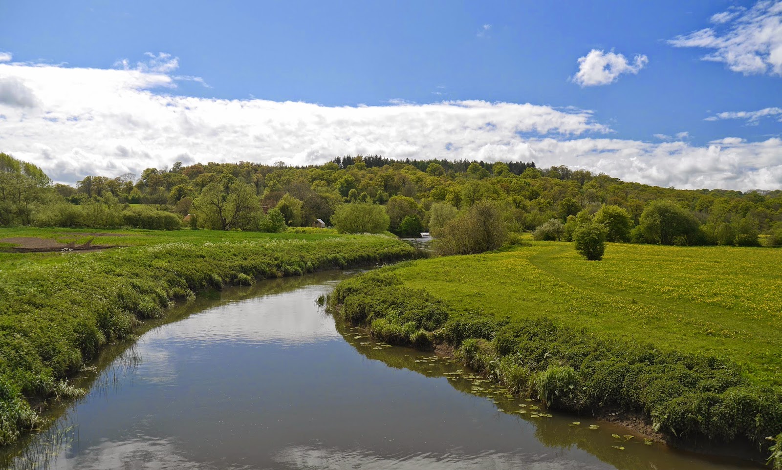
We followed a field-edge path towards Nettleden and as we descended admired the gently curving valley ahead with a handsome beech tree proudly standing in the middle. I included the pink horse box in my picture for a splash of colour.


We followed the winding valley path past the tree and were making good progress until it suddenly disappeared.


The section was very hard work, but eventually we arrived at the outskirts of Ashridge, where we turned sharply left and climbed a grassy area crossed Berkhamsted Common and eventually entered Frithsden Beeches, a very pleasant area of woodland. We emerged into open country and walked back to the station.

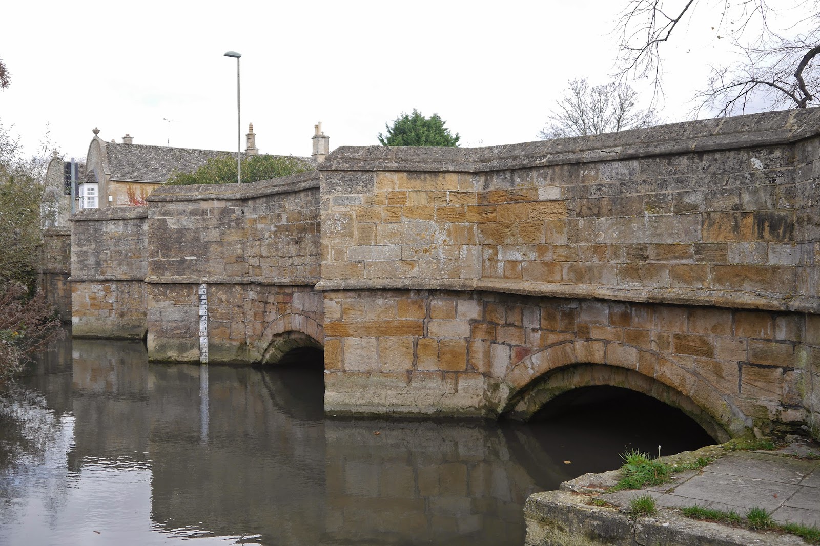
I wanted to have a quick look at the town and crossed the bridge over the Grand Union Canal ...


... to reach the attractive High Street, with a nice miscellany of building from the 16th century onwards. To the left there was the Old Town Hall and Market Place (see photo at the head of this post). It is a rather picturesque building of 1859 by E B Lamb. In the other direction along the High St are the John Sayer Almshouses of 1684. Sayer was the Chief Cook to King Charles II. This sounds fairly modest, but he was able to leave £1000 in his will to pay for the almshouses.


Conditions: grey, drab.

Distance: 7.75 miles.

Map: Explorer 181 (Chiltern Hills North).

From: Walking in the Chilterns (Cicerone)

Rating: four stars.

Saturday 22 November 2014

Nantwich

St Mary's church

Our trip to Cheshire for a dinner-dance last night provided an opportunity to do a bit of exploring and I decided to see Nantwich, described by Pevsner (in 1971) as "a friendly country town". He explains that the town was notable for salt production from Roman times to the 19th century, along with Middlewich and Northwich, which carried on the tradition for longer.

I had planned to combine a walk around the centre with the Nantwich Riverside Loop Walk along the River Weaver and the Shropshire Union Canal, but in the event I did not have sufficient time. I parked in the centre and walked out along Beam Street in search of some almshouses.

I soon found Crewe's Almshouses. The sign over the main doorway says that they were erected by John Crewe in memory of Sir John Crewe and Sir Thomas Crewe.


Beyond them and to the right are Wright's Almshouses of 1638, built by a Lord Mayor of London, Sir Edmund Wright. They are fairly plain and I agree with Pevsner's comment that the best thing about them is the entrance with two big volutes and Tuscan columns. They were originally in London Road and were moved here in 1975 according to a detailed description in Wikipedia.


I retraced my steps and walked down Market St towards St Mary's church (see photo at the head of this post). It is basically 14th century, but was restored by the prolific Sir George Gilbert Scott in 1854-61 (we saw his work yesterday in Lichfield).

Standing outside the chancel and looking back towards Market Street, you see the severely functional Market building of 1867. At least the main facade gets some architectural treatment.


On the opposite corner is the Olde Wych Theatre of 1919 with rather bizarre, but amusing, crenelated corner tower.


Going round the side of teh church leads to the Town Squate with some noce Victorian Gothic banks and on into the High St where you are immediately confronted with these fine timber framed houses. They were built in 1584, immediately after most of the town was destroyed by fire.


I had a brief look at the adjoining streets, Pillory Street and Hospital St, both pleasant and characterful and then went to the top of the High St passing the impressive Crown Hotel, also of 1584, with a style of timbering I have not seen before.


The final stage of the walk was along Welsh Row, the "best street in Nantwich" according to Pevsner. I passed the half-timbered C17 Widows almshouse, now a pub and the similar Wilbraham's almshouses, derelict when Pevsner wrote and now single private house. 

Further up is this lovely Victorian house with a wonderful doorway-cum-tower.


And right at the top, a final set of almshouses, Tollemache's of 1830, strangely not mentioned by Pevsner. Two attractive blocks each of four houses, with gables, dormers and finials.


It remained only to return to the car and go off out to lunch.

Conditions: grey, but not cold.

Distance: about three mikes.

Rating: four stars. A delightful town with its own character.

Tuesday 18 November 2014

The Stour Valley Path: A review

Stourhead

The Stour Valley Path runs from Hengistbury Head at the mouth of Christchurch Harbour to Stourhead just over the border in Wiltshire, a distance of 60 miles. We did it in eight legs spread out over fourteen months.

Some things about this Path are a bit confusing. It is in fact generally know as the Stour Valley Way, to distinguish from another Stour Valley Path in Suffolk, but the only guide book is The new Stour Valley Path by Edward R Griffiths, Greenfield Books, 1998. It is marked on the OS Explorer maps, but sometimes there are alternative routes and the book doesn't always match the map. It seems that the local authority is not fully behind it either because signposting and waymarking are a bit haphazard to say the least.

Is it worth doing then? Definitely. It offers a way to see and get to know Dorset from south to north through many interesting places and much beautiful country. We had already walked the Coast Path in Dorset, but this direction was substantially unknown to us.

So what were the best bits? We had already encountered the Lady Wimborne houses in the Poole-Wimborne area, but it was fascinating to go past was is now Cranford School, where she once lived and to see the extraordinary railway bridge on the outskirts of Wimborne which also bears her name.


Crawford Bridge on the outskirts of Spetisbury was a beautiful structure and the weather conditions facilitated this pleasing photo on the day we reached it.


Just along the road on the other side of Spetisbury, the handsome church of St Mary was rebuilt, apart from the base of the tower, in 1713 by Thomas Bastard, father of the celebrated Bastard Brothers who rebuilt Blandford after the great fire of 1731.We had driven past it before (it is on the Poole-Blandford road) and would do so several times again in the course of this and other walks. It was good to know its story.


The two great surprises were the adjacent chalk hills: Hod and Hambledon. They offered excellent walking, with some decent climbs and fantastic views, especially from Hambledon Hill (193m), where the panorama was almost 360 degrees.


What of the river? Well the Path follows the river valley more than the river itself and indeed one of the disappointing things was that unlike, say, the Thames Path very little of the walking was along the river bank. The longest section was around Wimborne. The Stour is generally a narrow, winding river, pretty enough but never really dramatic.


And the best bit? Undoubtedly the gardens of Stourhead, arranged around the exquisitely beautiful lake. Here, to finish on, is another view.


Stages

1 Hengistbury Head to West Parley

2 West Parley to Wimborne

3 Wimborne to Crawford Bridge

4 Crawford Bridge to Bryanston

5 Bryanston to Hammoon

6 Hammoon to Fifehead Magdalen

7 Fifehead Magdalen to Silton

8 Silton to Stourton and Stourhead

Friday 14 November 2014

Lichfield

The Cathedral

We were on our way to a social function in Cheshire and decided to stop off on the way to see Lichfield, one of England's smaller cities. We started our walk, loosely based on the city's Heritage Trail in Bore St and were soon delighted by the wonderful Lichfield House, dating from 1510.


Further along the street past the imposing Georgian Donegal House and the Guildhall there is the delightful Five Gables.

Breadmarket St brings you past the redundant St Mary's church (GE Street, 1868), now the museum and tourist office, to Market Square, where a market was indeed in full swing. On the left hand corner stands the splendid house where Dr Johnson was born in 1709.


Also in the Market Square there is a rather nice statue of Boswell, Johnson's biographer, dating from 1908. The octagonal tower of the Corn Market (1849-50) looms behind it over the market stalls.


We now walked up Dam St towards the Cathedral. The Trail leaflet draws our attention to a plaque on Brooke House. Lichfield was loyal to the king in the English Civil War and the Royalist garrison was besieged in the walled Cathedral close nearby. Lord Brooke, leader of the Parliamentary forces was shot dead here by a sniper.


We then pass the lovely Minster Pool to get our first sight of the Cathedral. It is immediately apparent that it is very long, with central transepts and tower. There has been a cathedral here since 700 AD, but it has gone through many rebuildings and alterations. There were major restorations after the Civil War, when it was besieged three times, in the late 18th century and by George Gilbert Scott in the late 19th.


Inside the impressions are of height and unity of the nave, but the choir and lady chapel beyond it seem to be aligned very slightly to the left. I especially liked the Crossing Screen, designed by Scott and made by Francis Skidmore.


The Chapter House, tucked in behind the short north transept, is one of the oldest parts: a circular building with vaulting off a central column.


At the end of Cathedral Close we turned right into Beacon St to pass the wonderful Georgian pile where Erasmus Darwin, grandfather of Charles, lived. 


A little further up the street is Dr Milley's Hospital, almshouse for poor women originally founded in 1504. Pevsner says that the present building dates from the 17th century.


We walked back along Beacon St, with Beacon Park to the right, along Bird St to reach the start of Bore St where we began our walk. Now we continued along St John's St to reach St John's Hospital, another ancient foundation. Pevsner says that it was probably founded in about 1140, but was refounded by Bishop Smyth in 1495. The dramatic brick chimneys date from then.


The chapel contains wonderful stained glass by John Piper, with the same intensity of colour that we saw at Coventry Cathedral when we visited there two years ago.


After this we retraced our steps and walked along The Friary to see the clock tower of 1863 (it is by Joseph Potter in a Norman style). It was moved here from Bore St when a new Friary road was constructed in 1927. It looks slightly lost, but was was still impressive in the late afternoon sunshine.


Conditions: bright and sunny.

Distance: two or three miles.

Based on: Lichfield Heritage Trail. Much useful information, but it is odd that it doesn't include the Cathedral or St John's hospital.

Rating: four and a half stars. A little gem.

Sunday 9 November 2014

Watlington

The Town Hall

A lovely day and I felt I just had to get out for a walk. We had been through Watlington a number of times when walking the Oxfordshire Way and the Ridgeway, but never had time for a proper look. I thought I would correct that omission.

I started from the car park and headed towards the centre of the town quickly coming on this terrace of houses. It is known as Chiltern Gate and was built in 1865 as a training school for domestic servants and was later a hospital


At the end of the road is the crossroads where the fine Town Hall stands. It was built in 1664-5, at the expense of Thomas Stonor, as a market hall with a boys school above. The school continued until the late 19th century.

I then followed the route on the very good Town Walk leaflet I had downloaded from the Parish Council website. It leads along the High St which has a fine medley of old houses, many of them former pubs. At the end is the war memorial which has apparently won many prizes for being the best kept in Oxfordshire. A picture seemed appropriate as it was Remembrance Sunday.


Then along Chapel St, where I was delighted to see a Peacock flying briefly around before it disappeared under some eaves, doubtless to hibernate. The street had some nice thatched houses. I then turned right and soon followed a path to reach the church of St Leonard. It is mainly Victorian, but the impressive tower dates back to the 15th century.


I headed on to Broojk St where I picked up a footpath for my planned walk to Watlington Hill. The path led initially across fields and then along a field edge where I was surprised to find a lone poppy still in flower. There were lovely views towards Watlington Hill.


A left turn led onto a section of the Ridgeway and the B480. You turn along the road for a short way and then left to begin teh long climb up to Watlington Hill. I heard a number of Kites in the field to my left and soon realised that there were no less than six of them wheeling around in the sky. By the expedient of focusing on the top branch of the nearest tree and then quickly recomposing my picture I got a  reasonable shot of five of them.


I headed across the slope of the Hill and soon enjoyed this wonderful view down to Watlington.


To the right there was another nice view towards Pyrton Hill.


I descended a wide grassy path to join the road and return to the town.

Conditions: sunny, clear and surprisingly warm.

 Distance: four miles.

Map: Explorer 171 (Chiltern Hills West)

Rating: four stars. Interesting town, great views from the Hill.

Wednesday 5 November 2014

Burford and Widford

St John Baptist

Pevsner describes Burford as a "remarkable small medieval town". I had a brief visit in 2009 and today seemed a good opportunity to see more, especially the almshouses. I parked in Sheep St just near the Lamb Inn, said to be the oldest (of quite a few) in the town.


At the end of Sheep St I crossed the picturesque High St. There are some photos in my 2009 post and details of many of the buildings can be found in a comprehensive article in Cotswold Life magazine. I walked along Witney St opposite, turning left into Guildenford to find Castle's Almshouses, dating from 1726. Pevsner describes them of being "of no architectural merit" and I have to agree. But continuing into Church Lane brought me to the Great (or Warwick) Almshouses, which were much more meritorious.


The plaque reveals that they were founded in 1457 by Richard, Earl of Warwick, but apparently the real founder was a local burgess and wool merchant named Henry Bishop. They were rebuilt in 1826 but still look convincing medieval to my eye.

I continued on to pass the church, a Norman foundation but later remodelled, and then cross the river via is 14th or 15th century bridge to begin the rural part of my walk.


The route followed the road towards Chipping Norton for a bit then veered north east across fields to Widley Copse, then along a track and more fields to reach Dean Bottom (below). A combination of lack of good views and the low position of the sun made this the first real photographic opportunity.


At the end of the Bottom, near the hamlet of Widford is the 13th St Oswald's chapel, built on the site of a Roman villa. The bell cote houses the sanctus bell which would have been rung during Holy Communion.


Inside there are 14th century frescoes.


The final phase of the walk followed the River Windrush back into Burford.


Back in Witney St you pass the modestly named Great House. Pevsner says that it "looms like an Italian piazzo amidst shops and cottages" and this is a very exact judgement. It was built about 1700 and the unusual castellation of the parapet is thought to refer to the man who had it built, John Castle, a successful physician.


Returning to the High St, I headed uphill to find Price's Almshouses which date from 1896 and were specified to be built in an "Elizabethan Style". There are three cottages, with the entrances to two of them at the side of the main block.


Conditions: mostly bright and sunny.

Distance: about 6 miles.

Map: Explorer OL 45 (The Cotswolds).

From: 50 walks in the Cotswolds (AA)

Rating: four stars.