Sunday 26 February 2017

Win Green to Ashmore (Wessex Ridgeway [Wiltshire] 11)

View from Win Green

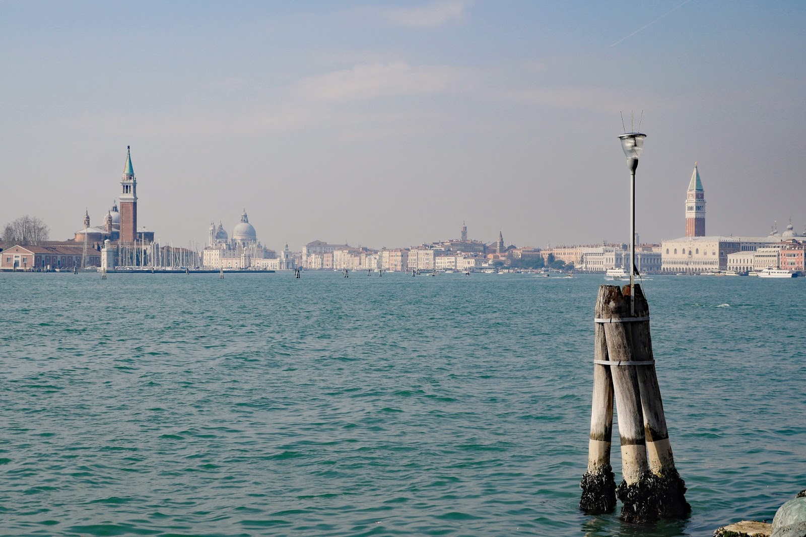
Today is the final leg of the Wessex Ridgeway in Wiltshire and of the whole Wessex Ridgeway, as we have already completed the Dorset section. It is a shame that the weather is rather grey and cool, but perhaps this is not totally surprising in February. It is particularly frustrating that I can't get any decent pictures of the wonderful countryside below Win Green (at 277m the highest point on Cranborne Chase). Above is the best I have managed.

We head immediately downhill to an area marked on the map - rather wonderfully - as Under Win Green. You can't really argue with that, as it is at only 150m above sea level! We bear right (south) and enjoy this fine wooden dry valley to our right.


We are now in the park of Ashcombe House, rebuilt before 1740 (Pevsner) with only parts remaining, notably the Orangery and Gatehouse. The tree-lined road stretches ahead invitingly.


The view back shows something of the house.


We follow this delightful road for a while then turn left along the edge of another splendid dry valley in the direction of Tollard Royal.


We touch the village quite briefly, passing this phone box which now houses village notices, books and a defibrilator.


Very soon we turn right and follow an uphill track called Benches Lane. This is rutted and muddy and a reasonably arduous climb. We emerge to follow a path by a road and then strike out across two fields where the right of way has been obliterated by crops. Why could they not mark out the path with a tractor as most farmers do these days?

This brings us to the edge of Ashmore, where the distinctive Dorset Wessex Ridgeway sign reminds us of the second part of the Wessex Rideway which we finished at Lyme Regis last October.


On the outskirts of the village is this lovely newish house using the unusual combination of greensand stone and flints which is characteristic of this attractive village, famously the highest in Dorset.


A little further on is an older cottage built in the same style.


A sit was such a dreary day, I will end this post with a picture of Ashmore taken on our first visit there in January 2015 when we did a very nice circular walk to Stubhampton Bottom.


Conditions: Cold and grey.

Distance: 6 miles.

Map: 118 (Shaftesbury & Cranborne Chase).

Rating: four stars. This would be a lovely walk on a good day.

Tuesday 21 February 2017

Banbury

The Market Place

I went with my friend Merv to explore Banbury, a town I have passed several times but never really seen. We walked through the newish shopping precinct and started our walk at the Market Place, intending to loosely follow the "perambulation" in Pevsner's Oxfordshire.

Over in the right hand corner, in Cornhill, our attention was drawn to a pair of Victorian buildings with wonderful polychrome brickwork. The smaller one was built in 1866 as a shop for a spirit merchant ...


... while the larger was a house. Pevsner says that "the total effect is splendid, in a horrible way." Personally, I think it is just splendid.


Opposite is the former Corn Exchange (1857), or at least its facade, now simply an entrance to the Castle Shopping Centre.


We retraced our steps to leave the Market Place by way of Bridge St, to come round in front of the Town Hall of 1854 by E Bruton. "Ponderous" says Pevsner. This time I agree. The tower is too bulky and too short.


Over to the right is this rather entertaining building, with signs for its former business as Seedsmen and Millers (now recruitment consultant and estate agent).


We walked down to the busy road at the end turned right and right again to enter the rather run-down George St. At the end on the corner was this building of 1908, with the Cooperative Society emblazoned on it. I liked the corner cupola. Surely it must have been a pub at some stage?


We continued into High St and passed the defunct White Lion Hotel, an early Victorian building with a fine lion statue above in case you forgot where you were.


At the end of High St we reached Horse Fair, the main road through Banbury before the M40 was built. In the centre of the roundabout was the famous Banbury Cross. Pevsner says that there is no evidence that a medieval cross stood and that the present structure was erected in 1859 to commemorate the wedding of Victoria, Princess Royal to the Crown Prince of Prussia.


A minimal amount of Googling reveals the usual mix of speculation and conflicting information: it refers to Queen Elizabeth (the fine lady) who visited a large stone cross there: she was actually Lady Katherine Banbury; the nursery rhyme was first written down in 1784 (but refers to an old woman); Banbury had at least three other crosses (the High Cross, the Bread Cross, and the white Cross) which were destroyed by the Puritans ... Perhaps it was written by the Banbury Town Council marketing department?

We headed left along South Bar St, a street of mainly 17th and 18th century houses. This nicely restored one on the corner of Crouch St was very attractive.


Crouch St had a nice concentration of early Victorian houses, including this one with unusual first floor Doric columns ...


And this lovely terrace with wonderful drip moldings over the windows.


Doubling back, we enjoyed Linden House near the Banbury Cross.


Just the other side of the roundabout, in Horse Fair, was the 1930s Odeon Cinema, whose classic white body was completely concealed behind this facade, designed to blend in with the neighbouring buildings. It looked so very different from the side!


Finally, further along Horse Fair, was St Mary's church. This is a medieval church rebuilt in 1790 to a design by S P Cockerell and completed by his son. It is a bit drab from the outsude and somewhat forbidding.


However, the inside, "a typical 18th century preaching box" (but later altered by teh removal of one section of the gallery), according to Pevsner, was a riot of colour which I must say I absolutely loved.


The tower remained in view as we headed back to the car park.


Conditions: rather a drab day.

Distance: two or three miles.

Rating: three and half stars. An interesting walk, but not much of real note.

Sunday 19 February 2017

Venice: San Marco to San Pietro di Castello


 People in Carnevale costumes

Rather foolishly, we have come to Venice during the second weekend of Carnevale. Everywhere there are people dressed in traditional Carnevale costumes. They seem universally patient about being photographed.

Our general idea for today's walk was to keep away from the centre and we decided to do this walk which according to our book begins at Giardini. As we headed east along the Riva della Sciavone, vast hordes were going the other way towards San Marco.


We headed inland a bit to see the Gothic church of San Giovanni in Bragora. It was beautifully plain and simple.

Inside, there were several chapels with fine artworks, but unfortunately we had no sooner got in than we had to leave as it was closing for lunch. (It would reopen 3 1/2 hours later.)


Soon we were at the canal which leads to the Arsenale, the massive former shipyard which underpinned Venice's maritime power.


Just after that we reached the start of the official walk at the Camp di San Biagio and continued along the riva which runs alongside the Canale di San Marco. The first notable sight was Via Giuseppe Garibaldi. This was built in 1808 by Napoleon, who liked large boulevards, by filling in part of the Rio di Castello. It is the widest street in Venice and quite atypical.


Further along we came to the Giardini Publici, pretty much the only green (-ish) public space in. Venice. Nearby is the site of the Venice Biennale, which I had hoped we could explore. It was unfortunately closed. On the edge of the Gardens was the Arco di San Michele, all that remains of a 16th century church demolished by Napoleon.


I rather liked this art deco memorial to an airman.


There was a great view back from the Giardini vaporetto stop with several of Venice's greatest landmarks all in view at once: from the right, the Doge's Palace and campanile of San Marco, the Dogana (Customs House), the churches of Santa Maria della Salute and San Giorgio Maggiore.


Deeper into the Giardini was the earliest building associated with the Biennale, this rather lovely greenhouse, now restored and used as a cafe.


Nearby, off the Via Guiseppe Garibaldi, was the 1885 monument to the great man.


We headed along the Via towards the island of San Pietro to find the church of San Pietro di Castelo. This was Venice's cathedral until 1807, when the role shifted to the Basilica of San Marco. It dates from the 11th century, but was several times rebuilt until the 17th century. The facade, rather weakened by the horizontal section above the main pediment, was designed by Palladio, two of whose churches we saw on our walk from Accademia to San Giorgio Maggiore.


The church faces the eastern end of the Arsenale, which features a number of rather lovely brick towers and turrets.


Conditions: a lovely sunny day.

Distance: About 5 miles including the walk back.

From: Venice. History. Mystery. Walks (AA publications).

Rating: four and half stars.


Saturday 18 February 2017

Madonna dell'Orto to Santa Maria dei Miracoli

Madonna dell' Orto

Madonna dell'Orto (Our Lady of the Garden) is one the great Gothic churches of Venice and we thought we would start today's walk here and link it to one in our walk book. It was begun in about 1399 and the wonderful portal, by the great stone carver Bartolomeo Bon was begun in 1460. Inside there is wonderful array of paintings including a number by Jacopo Tintoretto, of which our favourite was The presentation of Mary at the temple (1552), a wonderful composition.


The house where Tintoretto lived is nearby: here is the wonderful statue on the bottom of the facade.


A similarly striking one, now with a metal nose, is on a nearby corner.


We returned to the long Fondamenta della Misericordia ...


... and headed away from this bridge in the direction of the Campo Santi Apostoli. This involved walking along the crowded Strada Nuova. This street was originally named for the King of Italy, Vittorio Emanuele II, when it was cut through a warren of streets and houses in 1871. It is the longest and probably the widest in Venice (it's only rival would be the Via Giuseppe Garibaldi where we plan to walk tomorrow).

The Campo Santi Apostoli houses the ancient church of the same name which has a wonderful campanile, rebuilt in 1672, with a fantastic sun dial. This was the start of our walk-book walk.


We left the  square and passed the church of San Giovanni Crisostomo to then go through small streets, Corte Prima dei Millione and Second dei Millione. Millione was the nickname of Marco Polo who was born in this vicinity, although precisely where is not known.

Soon we were in Campo San Marina near to where Casanova lived. We left the square by a small bridge with the imposing Palazzo Pisani on the right and Palazzo Dolphin along the canal on the left.


Further along there was this lovely Palazzo, name unknown, with a traditional chimney and fine exterior decoration.


Calle de le Erbe brought is to another great Gothic church, that of Santi Giovanni e Paolo, second only to San Marco. It was built by the Dominican order between 1246 and 1430 and has a magnificent portal by the same Bartolomeo Bon who did the one at Santa Maria dell'Orto.


Inside the church is higher (32m) and more massive than is apparent from outside. The soaring apse is the culmination of this. From the middle of the 15th century the funerals of Doges took place here and there are several monuments to individual Doges.


At right angles to the church is the exquisite Scuola Grande di San Marco. In Venice a Scuola Grande was the headquarters of a charitable confraternity - perhaps Rotary might be a secular modern equivalent. It is one of the finest Renaissance buildings in Venice.


The tromp l'oeil marble carving by Pietro and Tullio Lombardo is a particular delight.


Just round the corner is our favourite Venetian church, Santa Maria dei Miracoli, tucked into a small space beside a small canal. It was built in 1481-9 by Pietro Lombardo to hold an image of the Virgin Mary which had become the object of veneration and was believed to have occasioned miracles.


It is a simply exquisite building. Here is the inside, again with all surfaces covered in marble - and the altar unusually on a higher level than the nave. The coffered barrel vault is also pretty special.


Conditions: a lovely sunny day.

Distance: About 3.5 miles including the walk back.

From: (in part) Venice. History. Mystery. Walks (AA publications).

Rating: five stars.