Showing posts with label TW. Show all posts

Monday, 31 December 2018

The Test Way

Combe Gibbet

The Test Way is a 44 mile path which runs from Combe Gibbet near Inkpen to Eling at the top end of Southampton Water. An informative leaflet can be downloaded from the Hampshire CC website here.

We did the walk with our friends Viv and Giles and broke the walk into six sections of about 7 miles each.

1 Combe Gibbet to Hurstbourne Tarrant

2 Hurstbourne Tarrant to Longparish

3 Longparish to Stockbridge

4 Stockbridge to Awbridge

5 Awbridge to Lee

6 Lee to Eling

The strangest thing about the walk is that it takes quite a while before you actually encounter the River Test- not until well into the Longparish to Stockbridge leg - i.e. almost half way. And even after we had our first encounters with the river, a typical fast-flowing trout stream, it remained elusive. This of course is because the banks and fishing rights are almost entirely privately owned and therefore out of bounds.

We enjoyed walking and chatting with our friends, but the walk itself was pleasant enough, but never especially exciting, after the dramatic start. It probably didn't help that we had a long break between stages four and five because Viv had hurt her foot

This was my favourite image of the Test:


The tidal mill at Eling however was particularly interesting. It has been operational since at least the 15th century and continues in use today. The only other operating tide mill is in Woodbridge in Suffolk. There is another former mill, now the yacht club HQ, at Emsworth near Portsmouth - the end of the Wayfarer's Walk.


Sunday, 18 November 2018

Lee to Eling (Test Way 6)

Nursling House

The final leg of the Test Way. We set off from Lee and followed a path which quickly diverged from the river. It soon brought us to the village of Nursling, with the impressive Georgian Nursling House on the right hand side and the lovely 13th century church of St Boniface almost opposite.


To be honest, the next section was fairly grim. We were now within earshot of the M27 and had to walk along church lane parallel to it then cross over and walk along the other side to regain our southerly line of walk.

We eventually emerged into open country, albeit with numerous power lines, and skirted the Lower Test Nature Reserve with its perimeter board walk and reportedly excellent wildlife in the extensive reed beds.


We then crossed quite a wide stretch of the Test ...


... and arrived at Totton. I rather liked this square house on the very edge of the town. Maybe it was once a gate house?


We plodded through Totton along streets of 1930s houses - not my favourite period - through the town centre and across a park to finally reach the end of the walk at the celebrated Eling Tidal Mill. (The Toll Hut is in the foreground.)


The mill has been operational since at least the 15th century and continues in use today. The only other operating tide mill is in Woodbridge in Suffolk (there is another former mill, now the yacht club HQ, at Emsworth near Portsmouth).

This is the view inland from the bridge.


And here is the view along the tidal section, actually a creek leading into the Test, which soon flows into Southampton Water.


Conditions: grey with a threat of rain.

Distance: about 4.5 miles.

Maps: Explorer OL22 (New Forest)

Rating: three stars.

Wednesday, 10 October 2018

Awbridge to Lee (Test Way 5)


We resumed the Test Way with Viv and Giles after a long break - the result of Viv having a hip replacement. We picked up the walk at Awbridge Village Hall where a massive maple was beginning to come into wonderful autumn colour.

We walked down the road and turned right into a track. We were enjoying a good old catch up and effortlessly overshot the point where we should have turned left. The signs were a bit lacking as well. We doubled back to find the turning and passed a gravel extraction site and then entered the rather lovely Squabb Wood.


Emerging from this we walked across fields, following the route of a circular walk around Romsey that we did two years ago. As we got closer, we had our one and only glimpse of the Norman Romsey Abbey. Here is a better picture from that earlier walk.


A little further on we reached the banks of the Test at Saddler's Mill.


One of the frustrations of the Test Valley Way was has been the limited sightings of the Test, but here at last we could see it in all its glory.


We turned away from Romsey along the strangely named Mainstone and took a left left along a track which marked the perimeter of Broadlands Park. We soon had quite a good view of the house. The building you see now dates from 1767 and was the work of Capability Brown and Henry Holland.


We headed due south, but at Moorcourt the trail doubled back and we found ourselves heading northeast. This did at least bring us right back to a a bridge which gave us another nice view of the river.


From here we left the Test Valley Way to reach the hamlet of Lee where we had left the car. Appropriately enough another fine tree enlivened the end of the walk.


Conditions: mild and sunny.

Distance: about 6.5 miles, although we walked nearer 8.

Maps: Explorer 131 (Romsey, Andover and Test Valley) and OL22 (New Forest)

Rating: three and half stars.

Monday, 2 October 2017

Stockbridge to Awbridge (Test Way 4)

Common Marsh

We set off from Stockbridge with Viv and Giles on the fourth stage of the Test Way, soon reaching Common Marsh. The path ahead looked quite inviting, but we turned left to rejoin the disused railway we followed for some way on the previous leg.

The first excitement was this spectacular caterpillar, identified I think as a Pale Tussock Moth.


The path ahead was very pleasant with its overhanging canopy of green leaves.


As we passed Hooper's Farm, we admired a small group of lean orangey pigs in a suitably muddy sty.


We crossed a bridge as we approached Horsebridge, the railway may have had two tracks here, and admired the delicate colours to be seen on the shallow river bed.


This was the Park Street, one of the Test's many side streams.


Horsebridge was once the site of a railway station and the platform and signal box can still be glimpsed in what is now a private garden.


After another mile and half or thereabouts, we finally left the disused railway and circled around the National Trust property at Mottisfont and admired this splendid stretch of the Test.


The parish church of St Andrew offered a handy bench for the inevitable picnic lunch. The church dates from the 12th century, but, like most, was renovated in the 19th century.


We crossed a railway bridge at Kimbridge and joined a road at Awbridge, admiring the beautiful proportions of this house and the skill of the thatchers.


We ended this leg at Awbridge Village Hall, just off the path.

Conditions: mild, but cloudy.

Distance: about 6.5 miles.

Map: Explorer 131 (Romsey, Andover & Test Valley).

Rating: three stars. Pleasant walk, great company.

Sunday, 10 September 2017

Longparish to Stockbridge [Test Way 3]

Longparish

We met up with Viv and Giles to resume the Test Way, very conscious that we haven't yet seen the Test itself! We headed south west along a quiet lane which extended this long narrow village. There were many very picturesque thatched cottages.

We crossed the A303 and headed into Harewood Forest. We quickly became aware of two things: an assortment of scattered buildings and some concrete paths. Something to do with the war we thought. And a bit of Googling by Giles revealed that Harewood Forest was in fact the site of a large RAF ammunition storage facility. 

An interesting website called 28dayslater gave more information. The RAF required a stretch of woodland not too close to a town, that was rail served and about 25 miles inland to store ammunition. New sidings and a branch network for military traffic were built at the Longparish station in 1942 and concrete roads were built in the forest to disperse ammunition to the storage huts. Bombs started arriving in the autumn of 1943 and the depot initially stored 40,000 tons which increased around D-Day.

At the end of the Forest we crossed open fields, pleasant enough, but not very photogenic and soon arrived in Wherwell. We diverted slightly to see if we could a bench for our picnic lunch at Wherwell church and as we did we had our first glimpse of the river beyond this interesting barn-like structure in a garden.


The church, of St Peter and Holy Cross, turned out to have a very suitable bench. It is a 19th century church (1854-8 by Woodyer) with an attractive stair-turret and a wooden bell-turret above.


Inside there are some architectural fragments from Wherwell Priory set into the walls. I rather liked this one.


We retraced our steps to follow the road out of the village. I just loved this van parked in a drive. We are currently trying to move house and have spent many months de-cluttering in preparation. The company seem to be offering to store your clutter, which doesn't seem to be quite the right approach. We have favoured getting rid of it via Oxfam, eBay and Freecycle.


After a short while, the walk got really interesting. We turned left off the road to meet this lovely wooden bridge heading across the Test towards Chilbolton Cow Common. 


The river runs in many strands here and it was fascinating to watch different branches flowing together.


We headed across the pleasant open common and met another strand of the river on the other side, with an isolated rambling cottage on the opposite bank.


We crossed and passed by the cottage to emerge onto the road in Chilbolton. We followed the road and then the former railway line for about 2.5 miles into Stockbridge. For much of the time there were views of the river, but it gradually dawned on me that as it is a famous trout stream where fishing rights can be expensive, we are probably not going to have the kind of close encounters you would have on say the Thames Path.

We reached the roundabout at the edge of Stockbridge and turned right, away from the Test Way, to find a tea shop. Stockbridge has a long wide High St, but behind it on both sides there are really only water meadows. It was now cool and grey so we didn't explore, but we did notice the Grosvenor Hotel, which is according to Pevsner the grandest of the several 18th century coaching inns. Stockbridge is on the Winchester to Salisbury Road, now the A30.


Conditions: sunny and warm, until late on.

Distance: 8 miles.

Map: Explorer 158 (Newbury & Hungerford).

Rating: four stars.

Sunday, 9 April 2017

Hurstbourne Tarrant to Longparish [Test Way 2]

The Bourne valley

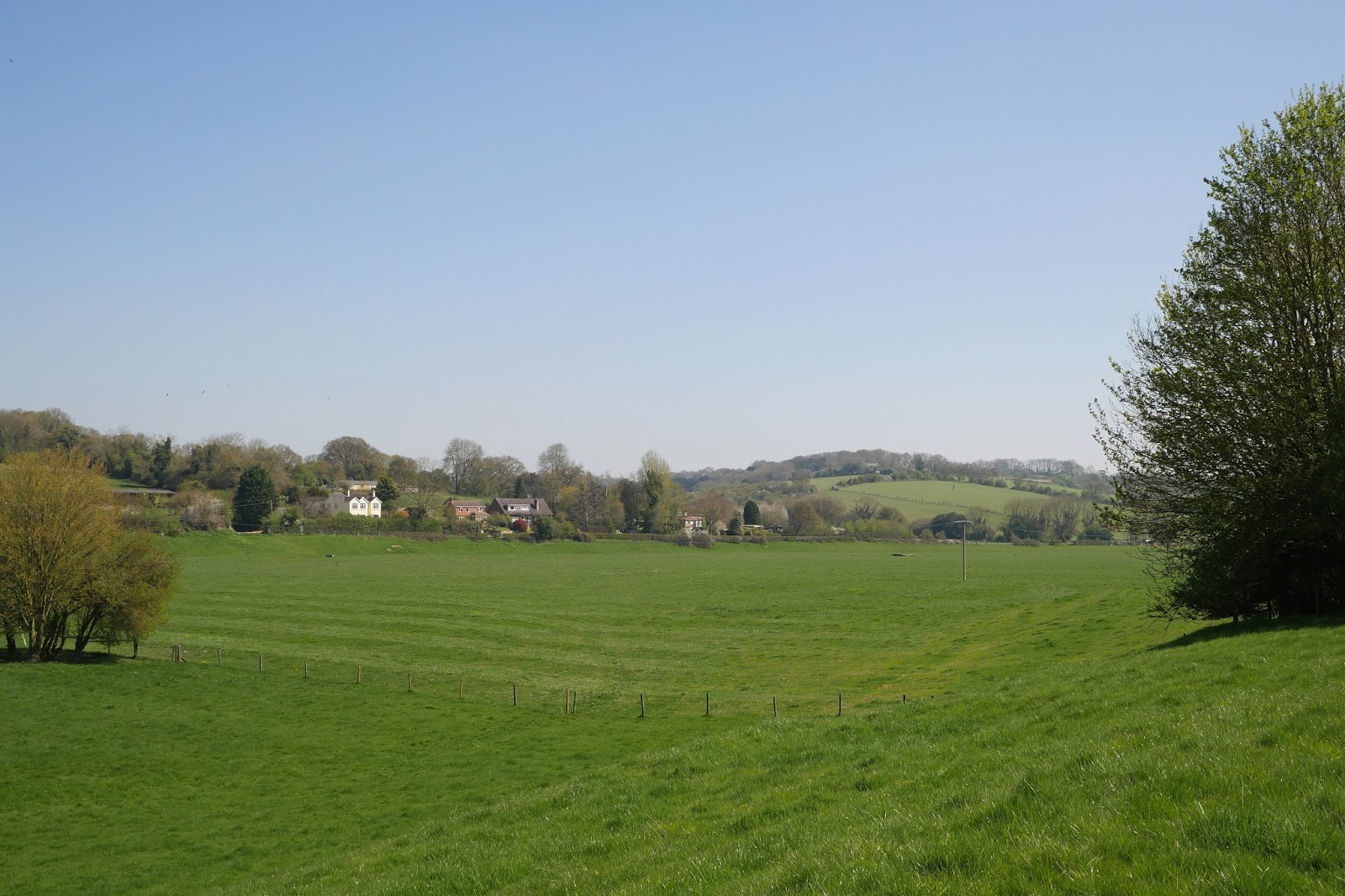
Yesterday we started the Test Way with Viv and Giles and today we did the second stage, setting off from Hurstbourne Tarrant towards St Mary Bourne. We initially followed a path parallel with the shallow valley in which flows the Bourne Rivulet.

This business with Bourns is a bit puzzling: according to the Oxford dictionary, a bourn (sometimes bourne, and often borne in place names)  is a "a small stream, especially one that flows intermittently or seasonally" (cf the Scottish word burn). So the Bourne rivulet is arguably the Bourne bourne.

We shortly turned right up the hillside of Wallop Hill Down and then walked through woodland to reach Stokehill Farm, a very attractive building of brick and rubble.


We now continued along a ridge which gradually converged on St Mary Bourne, with lovely views to the north-east ...


... and later towards the north.


We skirted the sprawling village, going through a series of very attractive gates which had apparently recently replaced stiles. Most also had poems by children at the local primary school.


We were now on a multi-purpose track. The bottom sign, for the Brenda Parker Way, a new one for us, led us to investigate. It seems Brenda Parker was one of those tireless volunteers who help to keep the footpath network in good shape for the benefit of us all.


On the edge of St Mary Bourne was an attractive lake and we sat on a bench overlooking it for our lunch. A plaque revealed that it had been excavated by a local doctor intending to make a haven fro wildlife. There were certainly plenty of water birds in view.


We climbed away from the village and enjoyed the view of a railway viaduct on the Basingstoke to Andover main line across the valley.


Now the landscape was of vast open fields, a very different landscape than we had experienced so far. We passed Lower Wyke Farm and crossed over a new railway bridge on the same line. We were now getting views of an extraordinary complex of buildings at what we eventually discovered was Faulkner's Down Farm. We had an amusing session trying to brainstorm what they could be


The first clue came as we got closer and saw massive quantities of sugar beet piled up in the fields on both sides of the track. Ah we thought sugar beet processing! But into what?


Some assiduous googling by Giles revealed what was going on. The site is owned by Aspley Farms and their website reveals that "Up until a year ago we farmed arable crops of wheat, spring barley and oil seed rape in a tight rotation. Due to decreasing margins we decided to invest in a bio digester and farm for energy. We now produce 4 products: electricity, gas, fertiliser and CO2." How interesting! Certainly, none of us had ever heard of a bio digester. However, I do wonder if growing crops to make energy is the right use for agricultural land. I will have to try to find out more and ponder it more.

Now surprisingly near Andover, we crossed a road and walked along the side of a massive field of rape extending along a valley.


This path led into woodland and we crossed a dismantled railway which seemed to lack the usual cycle way.


Not long afterwards we were in the aptly named Longparish, a village straggling mostly one house deep along the road for a mile and a half. There were lots of nice houses.


At the southern end is the huge Middleton House, an 18th century building with later additions.


Perhaps the most eye-catching thing however was the tower of the church of St Nicholas, an attractive Tudor addition to this church of Norman origin.


Inside, following a Victorian restoration, Minton tiles, Morris & Co glass - and this recent, but eye-catching, glass.


Conditions: sunny and warm.

Distance: 8.25 miles.

Map: Explorer 158 (Newbury & Hungerford).

Rating: four stars. Not as beautiful as yesterday, but all sorts of things of interest. Still no sign of the Test.