Showing posts with label folly. Show all posts

Thursday, 19 August 2021

Dunster Castle and town

The Gatehouse

On our way home from Lynton we decided to stop off at Dunster Castle, near Minehead. We had passed by the entrance several times in the past as we returned home from visits to North Devon, but there never seemed to be the right moment to stop.

The first castle on the site was built - of wood - just after the Norman Conquest by the De Mohun family. According to the Dunster website,  the De Mohuns sold the castle to the Luttrell family in 1376 and they were responsible for most of what we see at Dunster today. They built the gatehouse in 1420, created a Jacobean mansion in 1617, defended and saved the castle during the English Civil War and updated the castle in the Victorian era. The Luttrells lived there for 600 years until 1976 when the property was gifted to the National Trust.

Nowadays visitors go through the massive Gatehouse and then reach the 13th century lower level gateway with its massive iron-bound oak doors.


You emerge at the top into a large grassy area with the facade of the house before you. George Luttrell commissioned Anthony Salvin to remodel Dunster Castle in 1868-72. Luttrell employed the prolific architect Anthony Salvin, to redesign the castle and create a comfortable Victorian family home. Salvin had worked on many other castles and country houses including Alnwick, Caernarfon and Windsor Castle. At Dunster he altered the building’s exterior, demolishing the chapel on the south front, building two new towers and adding battlements emphasising its medieval origins.

We went inside to have a look. The rooms were very Victorian and perhaps you could say were quite cosy. The most striking room by far housed a set of 17th century leather wall hangings of Antony and Cleopatra. They are believed to be the largest and most complete of their type in the world. We were certainly impressed.


Emerging into the area in front of the castle we were very taken by this delightful structure, Tenants Hall. It was built on the upper storeys of the Gatehouse in 1764.

We decided - perhaps wrongly - to give the celebrated 18th century watermill a miss and instead have a brief look at the village of Dunster. We started by walking down to the very attractive West St, with its pastel-painted houses.

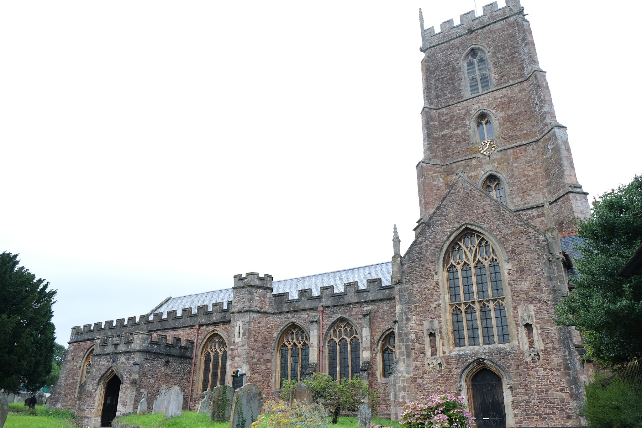
From there we walked back to the imposing Priory church which mainly dates from the 15th century.

A little further on, on the left, was the Dunster Village (or Secret) Garden, a delightful walled area managed by local residents.  Above the garden looms the Conygar Tower. It was commissioned by Henry Luttrell and designed by Richard Phelps. It was built in 1775 and was designed to be about 18m high so that it can be seen from Dunster Castle on the hill opposite. It was just a folly: there is no evidence that it ever had floors or a roof.

A little further on we came to this unusual and interesting building. It looks to be half-timbered with a slate-hung facade. There seems to be no evidence that it was ever used by nuns.

Turning into the High Street we headed to the top to see the splendid Yarn Market which was built for the wool trade in the 12th century,


Conditions: greyish and a bit wet.

Rating: four stars. A very interesting and enjoyable stop off. We doubtless have spent more time exploring the the castle, the village and its environs.

Wednesday, 21 April 2021

Kimmeridge and Swyre Head

We started this lovely walk from the old quarry car park just above Kimmeridge.  We headed eastwards along a road and quickly turned right along a farm track which led all the way to Swyre Head. It was very hazy to seaward and it was some while before I could take any sort of reasonable photo. The picture below (best expanded by clicking on it) extends from the Clavell Tower on the extreme left to Warbarrow on the right. In the middle ground is the village of Kimmeridge.


After a while we could see Smedmore House in the valley between the ridge and the Coast Path.

Quite soon after this Swyre Head loomed ahead. It is the highest point in the Purbeck Hills at 98 metres.

When we reached Swyre Head we were pleased to discover that since our last visit many years ago a Permissive Path had been mapped out. Previously it had been a contentious issue and we had ended up on one occasion having to walk back along the farm tracks.

From the top of Swyre Head there was a fine view to the east as far as St Aldhelm's Head.

We descended and reached the coast at Rope Lake Head, turning right along the Coast Path. It occupies a fairly narrow strip of long between the fences which demarcate the fields and the cliff edge. We were struck by the amount of evidence of erosion, including one point where it seemed that part of the path had fallen away quite recently. In other places the fence line had been moved inland by several feet - and it seemed that more of this was becoming necessary.

We were particularly struck by the way the cliffs were eroding at an angle from the top.

As we neared Kimmeridge Bay, we encountered again the delightful folly known as the Clavell Tower. It was built in about 1820 and was spectacularly dismantled in 2005 and moved 80 ft away from the cliff edge because erosion of the cliff was threatening its survival. It is now owned by the Landmark Trust and available as a two-bedroomed holiday let.

We continued past the Tower and headed into Kimmeridge Bay. The rock ledges which it is famous for were below water.

We then walked inland and through the pretty village of thatched houses, pausing to enjoy some ice cream at the village restaurant.

We had hoped to visit the The Etches Collection, Museum of Jurassic Marine Life - especially fossils - but unfortunately it was closed. The planned reopening is May 17 2021. It remained only to climb a steep path passing between the church and rectory and then uphill across a grassy field to return to the Quarry.

Map: Purbeck and South Dorset.

Distance: about 5 miles. 

Conditions: hazy.

Rating: four stars.

Saturday, 26 September 2020

The Pepperbox

                                                                                                                The Pepperbox

We started today's short walk at The Pepperbox on Pepperbox Hill near Salisbury. The building gets its name from its shape, although the doors and windows have all been bricked up. It is said to be one of England's earliest follies - dating to before the term was invented in the 18th century. It is thought to date from 1606 and be the work of Giles Eyre of Brickworth House, hence the alternate name "Eyre's Folly". Accoring to Wikipedia "The building's original purpose is unknown, though theories include that it was built to provide Eyre with views of Longford Castle or to provide local landowners' wives, including Eyre's wife Jane, a lookout tower to watch the hunt." Wikipedia also floats the idea that it may have been influenced by the Tower of the Winds in Athens.

The walk route required us to head due south and we soon had a fine open view in that direction. Longford House can be seen on the left of this photo and Salisbury Cathedral on the right. The theory that the Pepperbox was designed to provide view of Longford House isn't very convincing!

Taking our lives in our hands we crossed the busy A36 and headed up a track to emerge into grassland. We followed a track heading south and soon had a fine view over fields to the right.

 After this we were in woodland with fields to the right.

We emerged to turn left into a farm track with a massive field on the left and at the end turned left along a field-edge path, now heading north. We soon had to turn into woodland and only got slightly lost as we negotiated innumerable twists and turns.

We then followed another woodland path, this time in a narrow strip with fields visible on both sides. We were very taken by this large tree.

Emerging from the wood we followed the left edge of a large field into more woodland which soon led us back to the A36.

Conditions: bright and sunny.

Distance: 4 miles.

From: Wiltshire: from Salisbury to the Kennet (Jarrold).

Map:  Explorer 130 (Salisbury & Stonehenge).

Rating: three stars. The Pepperbox and its history were interesting and it was great to be able to see Longford House, albeit in the distance. But the actual walk was a bit disappointing.

Saturday, 14 July 2018

Worth Matravers to Kimmeridge


Kimmeridge Bay

We are pursuing an occasional project of re-doing the South West Coast Path in Dorset as a series of longer and more linear walks than we did the first time. Our complete walk along the South West Coast Path, from Poole to Minehead, can be found in a separate blog here. Our most recent walk was the wonderful one from Kimmeridge to Lulworth almost a year ago.

We set out from the car park at the back of the Bay and climbed up to the Clavell Tower. This splendid folly dates from about 1820 and was spectacularly dismantled in 2005 and moved 80 ft away from the cliff edge because erosion of the cliff was threatening its survival. It is now owned by the Landmark Trust and available as a two-bedroomed holiday let. The current guests can be glipmsed on the circular terrace.


We walked along the cliff top admiring the numerous butterflies (Marbled Whites, Meadow Browns, later a few Walls, Skippers). The view ahead to St Aldhelm's Head was magnificent.


The back to the west was also rather lovely. The still, shallow water was fascinating.


We passed Rope Lake Head (on the left in the photo below), with Swyre Head just out of view inland on the right and began the long steep ascent of Houns Tout. I had the delight of seeing my first Lulworth Skippers along this section.


As we reached the top, the view back was really inspiring.


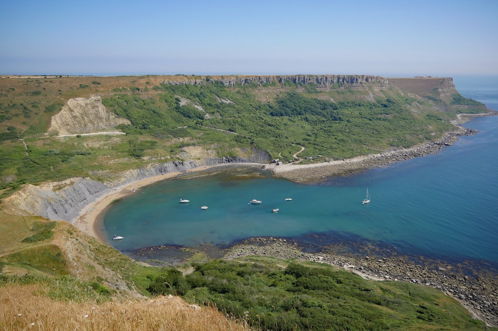
After a nice little rest on a concrete bench we headed on to soon be above the picturesque Chapman's Pool. It is reminiscent of Lulworth Cove in its shape.


The route now is quite confusing. You descend (of course) and are gradually directed inland to join the clear path skirting this large hill (it seems to have no name: at least there is none shown on the OS map).


You go a surprising distance inland and then take a sharp right and climb up an attractive path to West Hill. This is the view if you look back.


At the top there is a wonderful view to the west over Chapman's Pool.


We passed the Royal Marines Association memorial and reached Emmett's Hill, which is notable fro steps down to close to sea level, followed immediately by more steps up to St Aldhelm's (or St Alban's) Head.


At the top, we again encountered St Aldhelm's chapel. It is square with one massive column in the centre supporting four vaults which hold up the roof. There is an altar in the corner opposite to the doorway lit by a small lancet window. It dates from about 1100. It is unlike a normal church in that the four corners are oriented towards the cardinal points of the compass, whereas churches are normally oriented along an east-west axis. It was restored in the 19th century and has definitely been a chapel since 1874.


We now meandered along the coast to reach the strange are of former stone quarries that is Winspit.


It was still more than a mile up a meandering, but always climbing, path to reach Worth Matravers and a cold drink in the welcoming pub. This is the view back from near the top.


Conditions: warm and sunny.

Distance: about 9 miles.

Map: Explorer OL15 (Purbeck and South Dorset).

Rating: Five stars.

Wednesday, 24 February 2016

Faringdon & Great Coxwell

The Old Town Hall

A lovely day for a walk. I started in Faringdon's ancient market place and admired the late 17th century Old Town Hall on its Doric columns. Then up Church St to see All Saints church, of Norman origin. The stump of the tower was the result of damage by a cannonball during the Civil War.


From the back of the church, if you naughtily stand on one of the tombs, you can catch a glimpse of the late 18th century Faringdon House, home of the celebrated eccentric, Lord Berners, of whom more in a moment.


Further along Church Rd are these interesting cottages. They were originally the gate houses of the original Faringdon House which burned down in 1780.


I walked back to the Market Place and followed London St and Stamford St to go to see the famous Folly Tower. As you climb the uphill path and come into a field, you get the first site of the folly in a grove of trees on the top of the hill. The tower was opened in 1935 and is thought to be the last English folly.


It was built by Lord Berners for Robert ('Mad Boy') Heber-Percy, 28 years younger than him, and variously described as his "friend"or "companion". The architect was Lord Gerard Wellesley. Berners felt that Wellesley's design was too plain and insisted on adding the gothic top. Heber-Percy inherited Faringdon House when Berners died in 1950 and later gave the tower and land around it to the town of Faringdon.


A helpful information board gives details of the folly and of Berners's epitaph, which he wrote himself, and which appears on his grave:
"Here lies Lord Berners
One of the learners
His great love of learning
May earn him a burning
But, Praise the Lord!
He seldom was bored".
I went downhill to rejoin Stanford Rd and cross the busy A420 to find a path heading towards Little Coxwell. It passed through flat, agricultural land, but I did like this stand of trees off to my left.


This section was unremarkable, but Wicklesham Farm had an impressive number of areas set aside for nature, including part of a former railway line. Little Coxwell had some pretty cottages and a pub.


Now through the village and across the A420 again to follow a path, initially across a golf course, into Great Coxwell. I made a short detour to see the church, St Giles, dating from about 1200. Thde south wall has an entertaining selection of windows.


I followed the road through the village to reach the wonderful Great Barn. It dates from about 1300 and William Morris, who lived near by, called it "as noble as a cathedral". It is hard not to agree.


Inside there is a complex wooden framework to hold up the roof, with posts arranged like the columns separating the nave and aisles in a cathedral. The view out of the door at the far end was delightful.


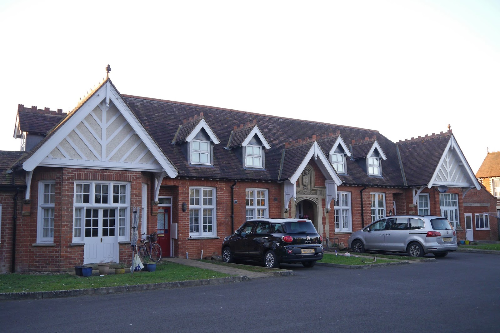
Now an amusing thing happened. I was walking back into Great Coxwell to take the path back to Faringdon, when I was overtaken by a man who I had passed coming towards me. He seemed keen to chat and it gradually became clear that he had deliberately doubled back with this in mind. I wasn't sure whether to be flattered or oppressed. But we chatted happily away along the path and then Park Road back into the town. I noticed this building, which had an almshouse look about it, but I can find nothing about it, and it didn't seem to have a name.


Conditions: Bright and sunny.

Distance: about 6 or 6.5 miles.

Rating: four stars. Some great buildings, but not much to be said for the countryside. Faringdon has a small, but lovely, historic core, but lots of modern sprawl all around it. The Tourist Office was very welcoming and has lots of useful information about the town and the area.

Sunday, 21 June 2015

Rock to Port Quin (South West Coast Path 77)


Padstow seen from Rock

We are back on the Coast Path and we start out from Rock by looking across the Camel towards Padstow. Almost immediately there is a fine view out along the estuary 


We follow a path along the back of the beach through dunes, where there are great number of Pyramidal Orchids.  We round Daymer Bay to reach the large sandy beach at Polzeath (pronounced Polzeth). There is some wonderfully stratified rock at the edge of this large sandy beach, clearly popular with surfers. 


After a short break for refreshments, we walk along the right side of the large beach ...


 ... and then head past New Polzeath to spot this lovely art nouveau influenced house, Medla,  overlooking a small bay.


We follow a path along the grassy headland towards Pentire Head, passing a sheltered area where we see lots of Small Heath butterflies and the odd Meadow Brown. The views from Pentire Head are stupendous: back to Polzeath …


…. and across Padstow Bay.


Rounding Pentire Head we soon come on Ramps Head, which seems to have a strong resemblance to a Stegosaurus (the darker of the humps is in fact a small offshore island, The Mouls). In this area we started to see Painted Lady butterflies in some numbers.


Passing behind Ramps Head brings us into Port Quin Bay and as the coast bends there is a view ahead to Kellan Head. Port Quin is in an inlet off this section of coast, but we can't tell which. 


At Carnweather Point there is a fantastic view back. The exciting thing was over to the left you can see right across the base of Pentire Point to the mouth of the Camel and the Daymark tower on the opposite bank. 


We pass behind Lundy Cove and then the delightful, but inaccessible, Epphaven Cove.


And soon we can see Doyden Castleon a hill in the centre, which we know is right by Port Quin.


Finally, we approach and then climb up to see Doyden Castle. It is basically square with bay windows on two sides. This "especially picturesque folly" (Pevsner) was built by Samuel Simms, a Wadebridge merchant, as a pleasure house. It is now a National Trust holiday cottage.


It is now clear that Port Quin lies some way up an inlet with an almost fjord-like character and the grassy path on the right led us to a road which led down to the port.


Conditions: Quite warm and sunny after the initial cloud cleared.

Grading: Moderate.

Map: Explorer 106 (Newquay & Padstow).

Distance: 8.6 miles. Distance now covered 472.2 miles.

Rating: Four and a half stars.