Showing posts with label LVW. Show all posts

Thursday, 19 July 2018

Welford to Newbury (Lambourn Valley Way 3)

Cornfields near Welford

This is the third and final stage of the Lambourn Valley Way (Stage 2 is described here). We set off from the edge of Welford Park and walked though a bit of woodland to emerge into a wonderful landscape of corn fields.

We crossed the M4 and arrived at Tulloch Farm which had simple, but elegantly shaped barn.


Further great expanses of golden corn followed.


As we approached Boxford we passed a pig farm with a cast of adult pigs standing or wallowing in muddy water and piglets prancing around likes lambs. I hope my grandchildren will like this photo when I show them.


Entering the village we passed a lovely thatched house on the left ...


... crossed a small bridge over the Lambourn, with a wonderful late Victorian sign warning that "persons in charge of locomotive traction engines and other ponderous carriages are warned against attempting the passage of the bridge".


This was the view of the river from  the other side of the bridge.


And finally there was surely a former mill.


We continued parallel to the river, but out of sight of it, in an arc beneath Hoar Hill. We recently discovered a vineyard in Enborne, rather to our surprise, but here was a rather newer but absolutely massive one. The picture shows maybe a quarter of the vines. It would be great to soon be drinking locally made sparkling wine!


At the end of this section we entered a short but rather lovely section of woodland.


Emerging from it, there was another cornfield with the green river valley behind it.


Soon afterwards we reached Woodspeen and Bagnor Manor. We had just a glimpse of a substantial Georgian house. Reaching Bagnor we passed the Watermill Theatre and crossed the pretty Winterbourne stream.


After a refreshing drink at the inviting Blackbird pub we headed away from the Lamborn towards Speen (there is an alternative route via Donnington, butthat would have taken us too far away from our destination, our home.

Speen offerfed this delightful late Victorian village hall ...


.. this sort of barn raised on stone toadstools ...


... and the substantial church of St Mary, set in very large church yard with a large number of grave stones. The church is medieval in origin, but what you see now is almost entirely the result of 19th century rebuilding.


We walked past waterworks and parallel to Speen Lane to arrive at Northcroft Park and, soon afterwards, the Kennet & Avon canal. Another half a mile or so brought us home.


Conditions: a lovely warm day, if a bit cloudy.

Distance: 7.5 miles.

Map: Explorer 158 (Newbury & Hungerford).

Rating: four stars. A really nice walk and rather lovely to end it at our own house.

Tuesday, 26 June 2018

Lambourn to Welford (Lambourn Valley Way 2)

The river Lambourn on the outskirts of Lambourn

We resumed our journey along the Lambourn Valley in Lambourn (Stage 1 is described here) and soon crossed the river of the same name on the edge of the town. It was tiny and full of aquatic plants.

We followed a field-edge path parallel to the road and were immediately delighted to see lotso f butterflies: lots of Meadow Browns and Ringlets and a pleasing number of Marbled Whites. We skirted Eastbury along an enclosed path at the back of the village - rather a shame in soem ways because the village looked rather pretty when we drove through it on the way to Lambourn.

From Eastbury we followed a short section of dismantled railway and then another field-edge path. This was the view back along the valley.


We passed near to the late Norman church of East Garston (with the inevitable late Victorian restoration) - on the right in the view back shown below.


Following Lambourn Valley Way sign posts we found ourselves routed away from the roiute marked on the map and and climbing up a steep slope of a side valley. We were a bit disgruntled at first, but gradually we realised that we now had a wonderful view down over the Lambourn valley. This gave us a different perspective than being down in it.


The were cornfields on both sides of our path and I rather liked this image of a lone poppy.


We descended again to rejoin the mapped path and the river at Maidencourt Farm. The river at this point was much wider and faster flowing, albeit with plenty of aquatic plants.


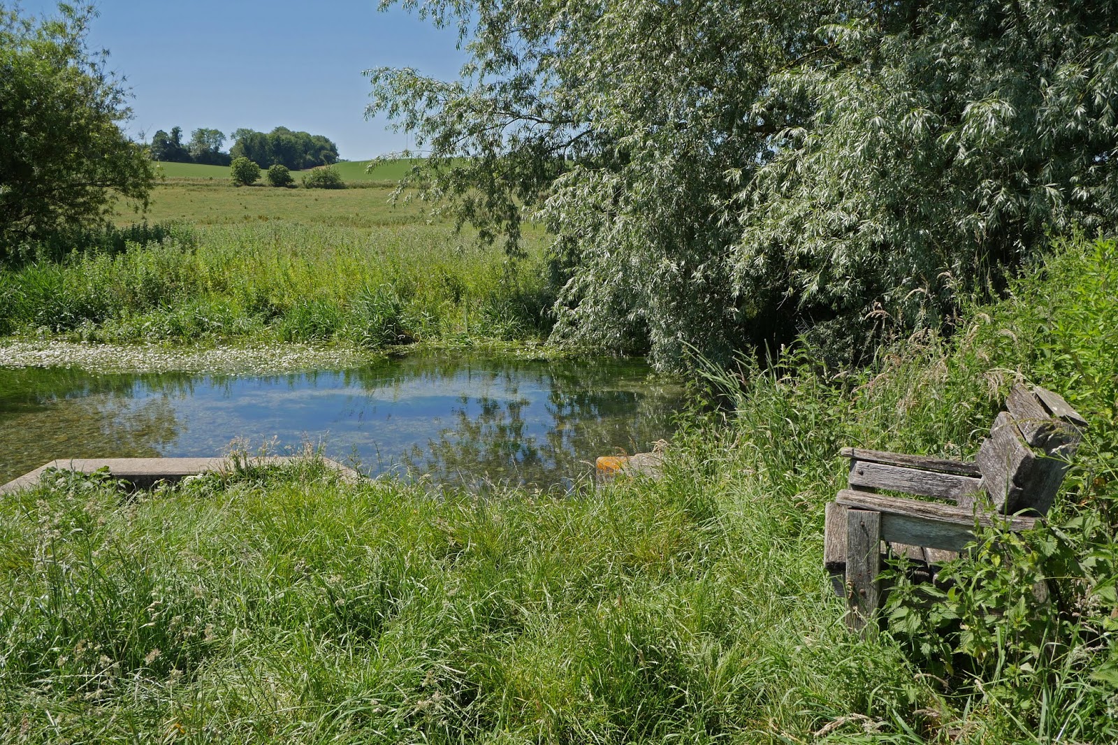
We followed the bank to a spot where the river widened briefly - perhaps enough for some water play. There was a a handy seat too.


This was a very pleasant section with some new butterflies: Large Skippers, Commas and Small Tortoiseshells. We emerged onto the road at Great Shefford and then climbed path East Shefford House to reach the pretty hamlet of Weston.


Soon after this we entered the grounds of Welford Park, a red brick 17th century house, still owned by descendants of Richard Jones who had it built. The grounds are open in February each year so that visitors can enjoy a fine display of snowdrops. We tramped across the grassy park and were rewarded with a distant view of the house with the church of St Gregory behind it.


The church has an interesting history. It was built in 1852-55 to replace a Norman church with a 13th century stone spire with eight dormers. The new church's tower and spire are an exact replica of the previous, although everything beneath them is new. A later brief glance from the road suggested that the tower and spire are the most notable features of the church. One can't help but wonder why they did it.

Conditions: a lovely sunny day.

Distance: 7.5 miles.

Map: Explorer 158 (Newbury & Hungerford).

Rating: four stars. 

Monday, 21 May 2018

Whitehorse Hill to Lambourn (Lambourn Valley Way 1)


Uffington Castle

The start of a new project with our friends Merv and Pud: the Lambourn Valley Way, a 22 miles path from Whitehorse Hill to Newbury. We parked at the Uffington Castle car park and headed south and then east along a wide path ...


 ... to pass below Uffington Castle, a large iron age hill fort thought to have been founded in the 7th or 8th century BC. On the far slope of the hill is the Uffington White Horse, by far the oldest of the white horse figures in Britain (it dates back about 3,000 years) and is of an entirely different design from the others inspired by it.

We now headed south with a wide spread of farmland to the west.


Further on the path became narrow and enclosed with lovely white flowers.


We passed an intriguing shallow circular depression on the right ...


... and soon entered the main zone of gallops. I have got to confess that I found this section a bit boring , although it was quite exciting when a couple of horses did pass at speed.

We reached the edge of Upper Lambourn and continued along the road into Lambourn. The route took us past the lovely red brick Place (or Hardrett's) almshouses.


The lettering above the doorway says "By John Estbury AD 1502. Rebuilt by Henry Hippisley AD 1852". The initials JE and HH are visible higher up the wall. Pevsner (the original edition) describes the almhouses as "very picturesque", although he credits them to T Talbot Bury, so Mr Hippisley was presumably the builder. The 2010 Pevsner dismisses the almhouses as "very modest" which I think is very harsh.

We finished this first stage at the handsome church of St Michael and All Angels. The oldest parts - the nave and part of the tower - date from 1175-90. As ever, it was restored in the 19th century. Pevsner 2010 says the interior is "one of the most impressive in Berkshire". I wish now thatwe had gone in, but lunch beckoned too strongly.


Conditions: a lovely sunny day.

Distance: 7 miles.

Map: Explorer 170 (Abingdon, Wantage & Vale of White Horse).

Rating: three stars.