Sunday 24 September 2017

Stonesfield

The prettiest house in Stonesfield

We spotted this walk in the Ramblers magazine and it felt just right for an interesting Sunday stroll. We started out from the White Horse pub on the north side of the village and skirted its edge to turn right onto the Oxfordshire Way (we walked this section in the opposite direction when we were doing the Oxfordshire Way a few years ago).

We headed across open country and turned left towards the hamlet of Fawler, where we passed the substantial Fawler Manor (1660).


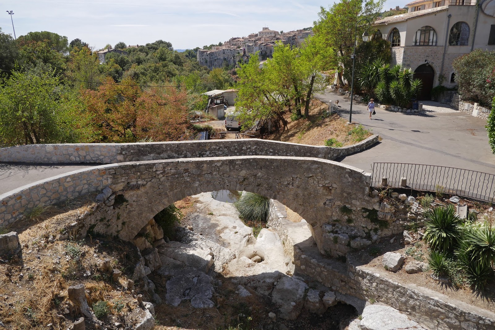
We walked under a railway bridge and crossed the River Evenlode by a small bridge


Now we followed a bottom-of-the valley track which led into Finstock. On the right a large flowering ivy was home to a good number of Red Admiral ...


.. and Comma butterflies. What a delight!


We turned left by the Plough Inn and headed uphill and then across fields to another hamlet, Wilcote. We made a small detour to see the 12th century church of St Peter. Pevsner is rather scathing, calling it "bleak and drab". That is perhaps a bit harsh - it is quite picturesque.


Perhaps his real point is that one blocked doorway is the only evidence of its Norman origins, the church having been restored twice in the 19th century, including the addition of the porch.

We skirted Wilcote Grange and headed downhill entering a pleasing avenue of trees on the right side.


At the bottom of the slope is the remains of the Lady Well.


Soon after this we passed the handsome Bridewell Farm. The stone over the doorway seems to promise a date, but I cannot decipher it.


A short stretch of road and some field paths brought us to the village of East End. We turned right, through, woodland and successfully navigated our way to the correct exit, near the Stonesfield Roman Villa. Pevsner describes it as "small", but there is quite a large footprint of one-time walls.


One of the information boards has a reconstruction, which suggests a quite substantial building.


Under cover in locked building there is the remains of a mosaic, illustrated on another panel.


We headed northwards up an extremely sunken path which led to the edge of the pretty stone village of Stonefield.


Conditions: greyish, but mild.

Distance: 8 miles.

Map: Explorer 180 (Oxford, Witney & Woodstock).

Rating: four stars. Most enjoyable.

Sunday 10 September 2017

Longparish to Stockbridge [Test Way 3]

Longparish

We met up with Viv and Giles to resume the Test Way, very conscious that we haven't yet seen the Test itself! We headed south west along a quiet lane which extended this long narrow village. There were many very picturesque thatched cottages.

We crossed the A303 and headed into Harewood Forest. We quickly became aware of two things: an assortment of scattered buildings and some concrete paths. Something to do with the war we thought. And a bit of Googling by Giles revealed that Harewood Forest was in fact the site of a large RAF ammunition storage facility. 

An interesting website called 28dayslater gave more information. The RAF required a stretch of woodland not too close to a town, that was rail served and about 25 miles inland to store ammunition. New sidings and a branch network for military traffic were built at the Longparish station in 1942 and concrete roads were built in the forest to disperse ammunition to the storage huts. Bombs started arriving in the autumn of 1943 and the depot initially stored 40,000 tons which increased around D-Day.

At the end of the Forest we crossed open fields, pleasant enough, but not very photogenic and soon arrived in Wherwell. We diverted slightly to see if we could a bench for our picnic lunch at Wherwell church and as we did we had our first glimpse of the river beyond this interesting barn-like structure in a garden.


The church, of St Peter and Holy Cross, turned out to have a very suitable bench. It is a 19th century church (1854-8 by Woodyer) with an attractive stair-turret and a wooden bell-turret above.


Inside there are some architectural fragments from Wherwell Priory set into the walls. I rather liked this one.


We retraced our steps to follow the road out of the village. I just loved this van parked in a drive. We are currently trying to move house and have spent many months de-cluttering in preparation. The company seem to be offering to store your clutter, which doesn't seem to be quite the right approach. We have favoured getting rid of it via Oxfam, eBay and Freecycle.


After a short while, the walk got really interesting. We turned left off the road to meet this lovely wooden bridge heading across the Test towards Chilbolton Cow Common. 


The river runs in many strands here and it was fascinating to watch different branches flowing together.


We headed across the pleasant open common and met another strand of the river on the other side, with an isolated rambling cottage on the opposite bank.


We crossed and passed by the cottage to emerge onto the road in Chilbolton. We followed the road and then the former railway line for about 2.5 miles into Stockbridge. For much of the time there were views of the river, but it gradually dawned on me that as it is a famous trout stream where fishing rights can be expensive, we are probably not going to have the kind of close encounters you would have on say the Thames Path.

We reached the roundabout at the edge of Stockbridge and turned right, away from the Test Way, to find a tea shop. Stockbridge has a long wide High St, but behind it on both sides there are really only water meadows. It was now cool and grey so we didn't explore, but we did notice the Grosvenor Hotel, which is according to Pevsner the grandest of the several 18th century coaching inns. Stockbridge is on the Winchester to Salisbury Road, now the A30.


Conditions: sunny and warm, until late on.

Distance: 8 miles.

Map: Explorer 158 (Newbury & Hungerford).

Rating: four stars.

Monday 4 September 2017

Vence

The Baou des Blancs above Vence

We set out from the lovely home of our friends Derek and Arlette's in the St Martin district of Vence and headed towards the town. Immediately we noticed this wonderful art nouveau house on the right.


We crossed the bridge over the river far below and followed Avenue des Poilus towards the Old Town. On the right, was the old public laundry (below is an atmospheric shot from the previous evening).


In a road on the right we caught a view of another lovely house.


Further along, in Avenue Isnard, is the former Chapelle des penitents blancs, now used for art exhibitions. The tiled roof was especially impressive. (This view was taken from the back in Avenue de la Résistance.)

We then diverted into the main square to pick up a town trail at the Tourist Office. This quickly led into the Old Town. The main feature the old town is that its houses were built into the town walls, starting from the 15th century. There is now an oval of houses surrounded by a road and pierced by a number of gates (well, archways) three of which are medieval.

The first sight was the 12th century Tower.


 Off to the left is an ash tree said to have been planted in 1538 by Francis I.


We went through the Porte du Peyra, with a lovely  fountain dating from 1822 on the other side.


This led to Place du Peyra and Rue du Marche which in turn brought us to Place Clemenceau. Directly ahead was the remarkable Cathedral which dates from the 4th century – and is the smallest in France.


To the right and left of the main door are two stone tablets with Roman inscriptions dating back to 220 and 239 AD. After looking around the interior we went round the side to the atmospheric Passage Cahours, which once linked the cathedral to the Bishop's Palace.


Now along Rue de L'eveque to Place Godeau at the back of the Cathedral. There was a nice view of the Cathdral's tower.


We walked along the short but remarkable rue des Portiques, a section of a Roman Road which ran from Cimiez to Castellane.


We emerged through the Porte d'Orient to get an external view of the old town.


And now we followed the outside to Place Antony Mars with its old fountain. The reproduction of a painting of it by Raoul Dufy (I think) beside was actually more impressive.


We went through the nearby Porte du Signadour and crossed through the old town again to to see another fine gate, the Portail Levis.


 From the belvedere there was a great view across the river gorge to the Matisse chapel and the rocky Baou des Blancs high above it. Now we retraced our steps and headed towards the Chapel of the Rosary (the Matisse chapel). (It is the white building in the lower right of the photo at the head of this post.) 

The story of the chapel is rather lovely. In 1941 Matisse developed cancer and underwent extensive surgery. During his recovery in Nice, he recruited Monique Bourgeois who responded to his advertisement seeking ‘a young and pretty nurse’. She became his model as well as his carer. 

In 1946 Monique Bourgeois decided to become a Domican nun and was ordained as Sister Jacques-Marie. Having previously qualified as a nurse, she continued to care for Matisse who eventually bought a home in Vence not far from the convent. In 1947 Bourgeois confided to Matisse her wish to decorate the oratory in one of the rooms in their convent.  Matisse, now aged 77 and in poor health, instead offered to design a chapel that would be offered to the Dominicans. 

The chapel is a simple, quite low, rectangular building, painted white with a cheerful blue roof.

Internal photography is not allowed for "copyright reasons", so I have no photos, only one of the decoration above the entrance (below). The interior is white with tall and narrow stained glass panels along the left hand side of the nave. Some of Matisse's images are exquisitely simple and expressive, but on the the west end wall, which contains the Stations of the Cross, his images are, to my mind, crude and cartoon-like. The chapel is well worth a visit though.


Conditions: warm and sunny.

Distance: about 3 miles.

Rating: four stars.

Sunday 3 September 2017

Tourettes-sur-Loup

Touretttes sur Loup

We set off on foot from Vence to Touretttes sur Loup along the main road, but soon turned off on a minor road where a sign indicated that it was the old road to Tourettes. This quiet residential area led us to a road bridge (the main road again). On the left were a pair of incongruous, but quite entertaining, giraffes.


A little further on we turned right to climb a winding tarmac road towards the tree line. After a while a view opened up back towards Vence and in particular the Baou des Blancs. From this angle we could see the ridge that lies behind it.


Soon there was a view back towards the sea with our road bridge in the foreground. We noticed as we got higher that the houses were becoming more impressive and we especially liked this splendid one, newly built or refurbished, with a wonderful view down to the coast. We all thought we could probably cope with living there.


At the top of the climb we entered woodland, but rather than carry on climbing we turned left and gradually descended passing the defunct Beaubourg Museum (an offshoot of the more famous one in Paris) to reach the main road again where we quickly turned off to follow the quiet Chemin de Marguerite, which we thought might be the original road from Vence to Tourette. I did see some butterflies along here, notably a Clouded Yellow and this Great Banded Grayling (Brintesia cerce).


Continuing yesterday's theme of investigating the French names of butterflies, I discovered that this butterfly is called Le Silène in French. "Catchfly" seems to be the English translation, which is a bit puzzling.

Soon we reached the outskirts of Tourettes and enjoyed the great view of the town clinging to the top of a rocky hill (picture at the head of this post). We crossed a small bridge ...


... and followed the path towards the town passing a rusty giant iron mill wheel to reach the main square with its attractive church.


After light lunch of ice cream (all the cafés seemed to be full or booked out) we admired a couple of statues placed on the edges of the square.


In the opposite corner to the church was a fine tower.


We headed through an arch under the tower to explore the old town proper and were very struck by how pretty the stone houses and narrow winding streets were and how quite it was away from the main square – a far cry from yesterday's visit to St Paul de Vence.


We passed through a town gate …


 … to a belvedere from which there was a lovely view over a former railway bridge down to the sea.


We wandered along the lovely streets ...


... passing this entertaining ensemble.


 We finished our walk at a another belvedere with a great view of the rocky hillside.


After many phone calls, Arlette organised a cab back to Vence (it was Sunday so there were no buses).

Conditons: warm and sunny.

Distance: about 6 or 7 miles in all.

Rating: four and a half stars. An unspoilt gem.