Showing posts with label monument. Show all posts

Tuesday, 29 September 2020

The Hardy Monument and Littlebredy


                                                                                                                The Hardy Monument 

Today we finally got round to visiting the Hardy Monument and doing a circular walk inland from it. The Hardy Monument is a twenty-two metre (70 feet) single column built of local Portland stone and perched on the summit of Blackdown Hill, above the village of Portesham. Although the Monument looks like a chimney, it is in fact intended to represent a spyglass. The Monument was restored in 1900 by Hardy's descendants and given to the National Trust in 1938.

 The Monument commemorates Thomas Masterman Hardy who was born in nearby Portesham in 1769 and died in 1839. He was the Captain of Nelson's flagships, especially the Victory, and was later an Admiral himself. He was principally famous for being the recipient of Nelson's dying words - "kiss me Hardy".

The view above conceals a doorway in the rear of the monument. There are 122 steps inside the monument and a small viewing platform on top. It is of course currently closed.

Before we set off we noted the splendid views down towards Portland.

We headed downhill passing a tree with a series of carved rocks bearing the message: Be still, Close your eyes, Be still, Listen. Obviously we were in too much of hurry to get into our walk to pay any attention.

The path continued through woodland and then a field-edge path to reach a view point looking down to near to Abbotsbury. You can see the Fleet along with the Chapel of St Catherine on its hill.

 We continued along this path to enjoy further wonderful views ...

... and then reach a road junction.We now headed inland along a field edge path to reach the KIngston Russell Stone Circle, a rather minimal circle if truth be told. We wondered if the two people sitting there had just had a domestic.

We headed across the large field and passed some ancient grassy mounds. The next section was quite stressful in that the directions suddenly became sparse and approximate. We struggled our way across fields and streams to eventually reach Littlebredy. This is an estate village which was once the property of Cerne Abbey. We passed the Village Hall and another building ...

... to reach the attractive church of St Michael and All Angels. It is a medieval church largely rebuilt in the mid 19th century.

This was quickly followed by the Bridehead Estate Estate Yard with its Blacksmiths Cottage and Old Forge. We then followed an estate road, catching a glimpse of Bridehead through the trees. The house dates from 1630, but was was rebuilt and extended in the mid 19th century. 

We climbed a steep hill to reach a road, which we soon left to follow a woodland path for a mile of so back to the Monument. We missed a turning towards the end and overshot the Monument, but fortunately a dog walker pointed us towards a path which led upwards to it. 

Conditions: bright and sunny.

Distance: 7 miles.

From: 50 walks in Dorset.

Map:  Explorer OL15 (Purbeck & South Dorset).

Rating: four stars.

Thursday, 16 May 2019

Lymington to Buckler's Hard (Solent Way 2)


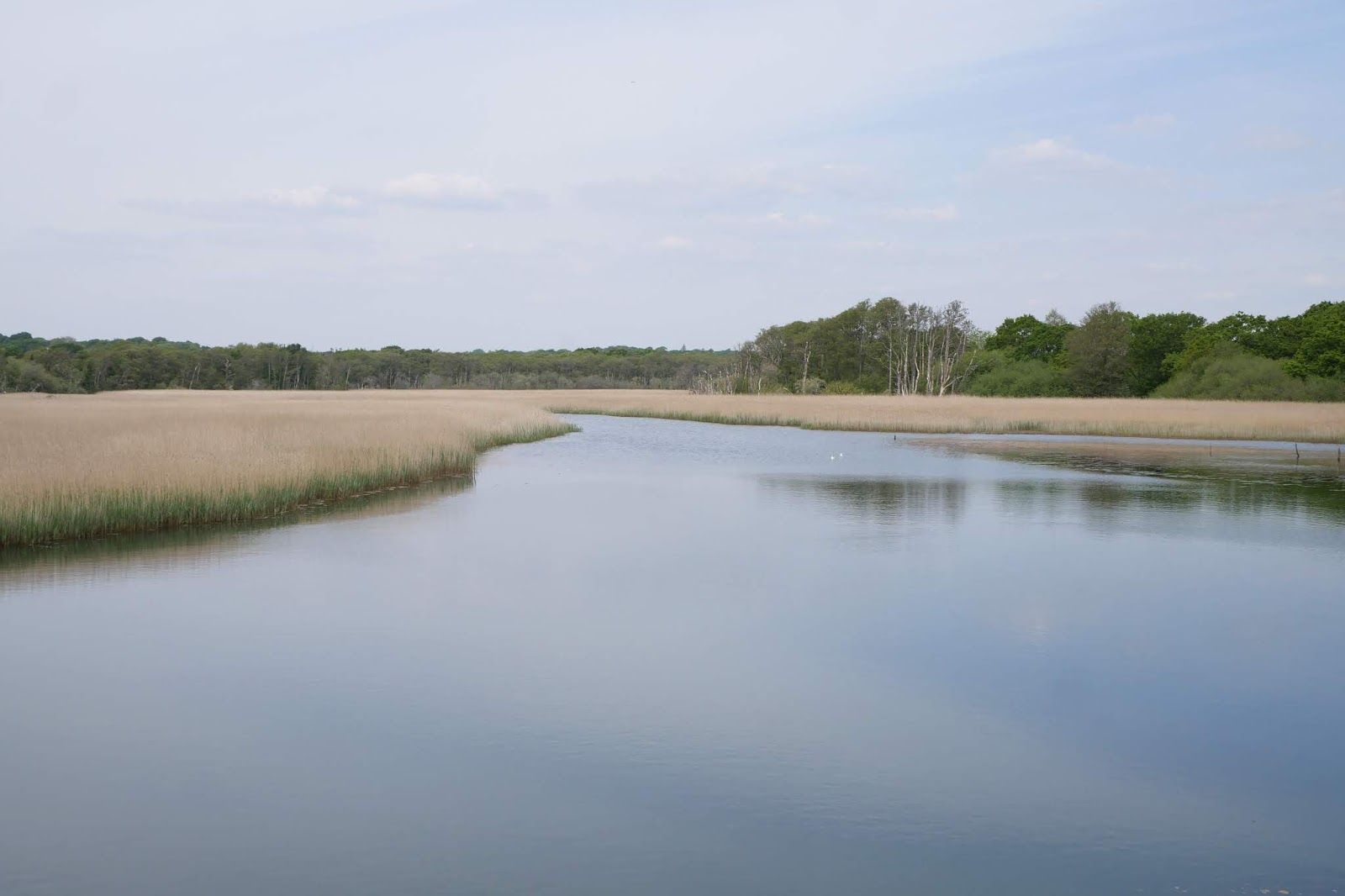
We set our from Lymington Town station and walked up to and across the bridge across the Lymington River, which even a short way from the Solent is largely full of reeds (in fact it forms the Lymington Reed Beds Nature Reserve). On the bridge we were amused by a sign saying "Otters crossing. Drive slowly" - sadly we didn't see any.

We turned right on the far side and soon left along a track which led, surprisingly, to this monument - to Admiral Sir Harry Burrard-Neale, MP who died in 1840 after a distinguished career.


We turned right and then left to head eastwards along a track through woods. When these thinned out we had our first view of the Solent, still somewhat distant.


We emerged onto a road and passed an entrance (not, I think, the main entrance) to Pylewell Park, a 17th century Manor House.


We followed the road a bit further and then turned left to enter the Park along a track, still heading east. Initially we followed  field-edge path, but eventually an open area gave us a glimpse of the house.


Beyond this we passed the cricket ground and then a pleasant fishing lake.


We left the Park along a lane and then followed a path across fields, with a further distant view of the Solent to the right.


Soon after, we joined the long Sowley Lane, passing the extensive Sowley Lake.  Rather to our surprise, we then completed the walk wholly on minor roads. We gradually realised that much, or possibly all of, the land belonged to the Sowley Estate and there were no rights of way over it. Still, the roads were flat, quiet and well-maintained, so it wasn't too much of a hardship

In due course we came to St Leonard's Barn.  It is hard to make sense of at first, but what you are seeing is a massive 14th century barn, with a smaller 16th century barn (with the orange roof) built inside it. The original barn, when complete, was probably the largest in Britain, being some 70m long by 33m wide.


We followed the lanes to reach Buckler's Hard, which we will explore next time.

Conditions: cool at first, turning quite warm.

Distance: 8 miles.

Map: Explorer OL22 (New Forest).

Rating: three and half stars. It was rather strange being so far from the Solent that we only had occasional glimpses of it.

Monday, 2 May 2016

Paris: République - Temple - Bastille

Place de la République

We have just arrived in Paris for a short break and we thought we'd begin by doing this short walk from the Place de la République, near to where we are staying. It comes from Giles Desmons's Walking Paris. For most of the 19th century this large square was called Place du Chateau-d'Eau, but was renamed when the statue of the virtues of the Republic was installed in the 1880s. Both square and statue seem to have currently acquired strong overtones of political protest. One of the banners on the statue reads "Frontiers kill. Solidarity with the migrants."

We headed west along Boulevard St-Martin, passing a house with lovely tiles on its façade.


A little later came the Théatre de la Porte de St Martin. Desmons tells us that Cyrano de Bergerac was premiered here in 1897. And amazingly it is still playing today!


At the next junction there is the Porte. It is a triumphal arch for Louis XIV built in 1674 on the site of a medieval gate.


We turned left into Rue St-Martin, apparently the joint oldest street in Paris, whatever that means. You would never guess – it looks no different from any other. On the right I noticed a wonderful inscription above a doorway: Property of the Civil Society for the Future of the Proletariat.

We passed the Museum of Arts and Crafts and round the corner found the church of St Martin in the Fields, said to be the first gothic building in Paris. You can see the transition from Norman to gothic as your eye moves from the apse towards the nave.


Now along the Rue au Maire, an old but undistinguished street. At the bottom, in Rue Volta is this lovely half timbered house which is allegedly the oldest in Paris – or maybe an 18th century fake. It certainly looks like the old houses we have seen in Dijon or Rouen.


This whole neighbourhood seemed a bit run down, but I just loved this grafito on a wall in Rue des Vertus. The name is ironic as it was apparently once the haunt of prostitutes.


Soon we reached Rue du Temple and I spotted this interesting gatehouse off to the right in Rue des Archives. According to the nearby plaque, it is the gate of the Hotel of Olivier de Clisson, Constable of France in 1380. The massive box-like Archives building just intrudes from the left.


At the end of this street you arrive at the Square du Temple, where the Knights Templar once had their palace. There fine covered market is Le Carré des Templiers.


We enjoyed a drink in a pavement café nearby and then continued in our route to reach the Rue de Bretagne where I happened to spot this fabulous art deco doorway on an otherwise uninspiring building of 1926.


The last section was uninspiring, but the walk ended on a high at the Place de la Bastille.


This was once the site of the notorious prison, stormed in 14 July 1789. The rather lovely column however does not commemorate the revolution of 1789, but rather that of 1830. The bones of those who died in that short-lived revolution were placed in an ossuary underneath the column, as were the dead of the 1848 revolution. According to our book you can climb the column and get a great view. There seems to be nobody up there however.

The building on the left is the Opéra de la Bastille, completed in 1989. Worth exploring another time. 

Conditions: warm and sunny.

From: Walking Paris by Giles Desmons (New Holland, 1994). References to shops, bars and restaurants may be out of date, but it remains a good guide. There is a 1999 edition.

Distance: 2 miles, but slow going because there are many twists and turns.

Rating: four stars.

Friday, 29 April 2016

Etchilhampton Hill to Market Lavington (Wessex Ridgeway [Wiltshire] 4)

The Monument on Monument Hill

Close to where we picked up the Wessex Ridgeway is this imposing lion on a plinth. Pevsner reveals that the monument commemorates road improvements made in 1768 and that the lion has an iron tail. It is a nice straight stretch of road and perhaps it was an early example of a bypass (around the village of Stert)?

We started walking in a mixture of cloud and sunshine, greatly regretting that we had left in a rush and failed, for the first time ever, to pack a waterproof top layer. The view to the south over the villages of Urchfont, Easterton and Market Lavington was delightful.


After crossing Monument Hill, we find ourselves in less open country than on the previous leg. We enjoyed the sight of these fine oak trees just coming into leaf.


A little further on, a gap in the trees offered glimpses of Stert. The church of St James (rebuilt 1845-6) can be seen on the left and the thatched house in the centre had an intriguing round section on the left.


We crossed a railway line and headed towards Urchfont. There was a nice view back in the direction of Stert.


On the edge of Urchfont we were all impressed by the new buildings at Knights Leaze Farm, with a great setting on top of a hill. The curving roofs were especially impressive.


Pevsner observes that there are many attractive houses in the village, and this pair is fairly typical.


The area around the pond was clearly being prepared for an event of some kind, judging by the traffic signs and tents. The imposing house in front of the church is the early 19th century Manor Farmhouse. To the right, the redevelopment of another farm was underway.


We followed a muddy track which climbed steadily out of the village towards Urchfont Hill (215m). We were just on the edge of a hailstorm, but got away lightly. Just before the summit, the Wessex Ridgeway turns left (south west) offering lovely views of the villages in the valley below.


The final section simply followed a track along the ridge for about two miles to reach where we had left the car at the top of Lavington Hill. The views were great, but we were walking into a howling cold wind and it was hard to fully appreciate them.

Conditions: cloudy with some sunshine and hail, windy.

Distance: 6 miles.

Map: Explorer 130 (Salisbury & Stonehenge).

Rating: four stars.

Friday, 4 March 2016

Avebury to Morgans Hill (Wessex Ridgeway Wiltshire 2)


Avebury from the West

We started the Wessex Ridgeway back in October 2015, but an injury to my ankle and indifferent winter weather have meant that only today are we doing the second leg. We set off from Avenbury, the west of the stone circle and walk through the small village. On the right is St James church, Norman with a pair of Saxon windows and the usual Victorian alterations.


We head west, passing through Avebury Trusloe. To the north there are a few more stones.


This track brings us to the A4 and I confess that here I misread the map and sent us south towards the busy A361, when we should have gone along the A4 before heading south. A small compensation was this lovely riding school.


We plodded along a rough grass verge for half a mile and then headed left along the route of an old Roman Road gradually climbing the rutted path. After a while the track leveled out and over to the right we could see the Cherhill Monument (on the slope of the hill beyond it is the Cherhill White Horse dating from 1780). The monument, described by Pevsner as the Lansdowne Obelisk, was erected in about 1845 by the third Marquess to commemorate his ancestor Sir Willliam Petty, the 17th century economist.


We passed to the back of Morgans Hill, still enjoying the view to the north ...


.. and soon after being struck by the terracettes on this round hill.


We ended the leg at Smallgrain picnic area, just off the Wessex Ridgeway.

Conditions: cold and reasonably bright, with just a small hailstorm at the end.

Distance: just under 6 miles.

Map: Explorer 157 (Marlborough & Savernake Forest)

Rating: three and a half stars.

Friday, 12 September 2014

Ivinghoe Beacon and Aldbury

Looking south from Ivinghoe Beacon

I met up with my friend Chris for this lovely circular walk. The first part repeats the Ivinghoe Beacon to Wigginton section of the Ridgeway which I did last year: I have tried to avoid taking the same pictures again. The view above shows the Ridgeway stretching out before us.

We walked ahead, crossed a road and continued along Steps Hill to pass Instone Hole on the right.


This winding combe is a very attractive feature and this time I noticed (but only because Chris pointed it out) that there is a windmill in the middle of the large field in the background.

We headed then across open ground to cross a lane which is also the route of the Icknield Way. This is the view back to Ivinghoe Beacon.


We climbed Pitstone Hill and skirted Aldbury Nowers, a series of slopes which are now a nature reserve. Like last year, it was too late to see much in the way of butterflies.

After this we left the Ridgeway and headed east into Aldbury, first passing the church of St John the Baptist. The chancel dates back to the 13th century.


The centre of the village features the old Manor House overlooking the duck pond and stocks. We had an excellent lunch at the Greyhound pub.


We left Aldbury following a track which climbed quite steeply up to Pitstone Common and the Bridgewater Monument.


This monument to Francis Egerton, the third Duke of Bridgewater, a pioneer of the development of canals, was designed by Sir Jeffry Wyattville and erected in 1832.

The monument is within the Ashridge estate and the next stage of the walk involved following a winding track through the woods along the perimeter of the estate. Although we were quite high (200 metres or so) we could see little for the trees. Eventually we worked out that these were mostly ash trees and that we were we on a ridge - ah! Ashridge!

At length we emerged into open country and admired the open panorama to the right (slightly north of east). We were very struck by the animal carved out of the chalk of Dunstable Downs. It was the White Lion.


It is associated with the nearby Whipsnade Zoo and dates only from 1933. Only a couple of weeks ago I was looking at the much older white horse near Osmington in Dorset, created in honour of George III.


I asked myself why I didn't notice the White Lion on last year's Ridgeway walk. The picture above shows it very clearly at the end of Gallows Hill, which heads off east from Ivinghoe Beacon. I dug out last year's picture from about the same spot for comparison.


I zoomed in further today, but the Lion was definitely there last year, albeit rather less distinct. It looks as though he has been refurbished during the year.

Conditions: warm and quite sunny.

Distance: 7 miles or so.

From: Chilterns and Thames Valley (Pathfinder Guides), although we started in a different place and did the walk in the reverse direction.

Map: Explorer 181 (Chiltern Hills North).

Rating: four and a half stars.