We parked in the centre of Dorchester and followed the main road eastwards to reach the Dorset County Council 1954 bridge and turn left along the river bank, a tributary of the Frome. We have visited Dorchester before but have never registered the existence of the Frome.
Further along there is a narrow bridge-cum-sluice gate.
We turned right and soon crossed the well-named Blue Bridge of 1877.
One more small bridge completed the initial encounter with the Frome.
We headed towards Charminster and as we passed water works came upon this lovely flower, as yet unidentified.
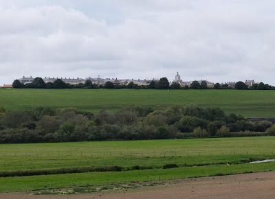
We crossed the road and headed towards Charminster across the fields. We were interested to have fine views towards Poundbury (or Poundbury Hillfort as it was once known).
Reaching Charminster, we made a small detour to see the Church of St Mary the Virgin. The nave dates from about 1100 and the ailes from the late 12th century. The imposing tower is early 16th century.
The next stage was across open country along farm tracks and then doubling back along a track. We passed a farm with a lovely medieval-style double height porch.
We continued southwards towards Dorchester, passing a cottage which was being re-thatched, to rejoin the Frome near the 1748 Grey's Bridge.
A right turn brought us along the main road into the town.
Conditions: mild.
From: Dorset Life magazine.
Distance: 6 miles.
Map: Explorer OL15 (Purbeck & South Dorset).
Rating: 4 stars. A delightful surprise.


No comments:
Post a Comment