
Trevean Cliff
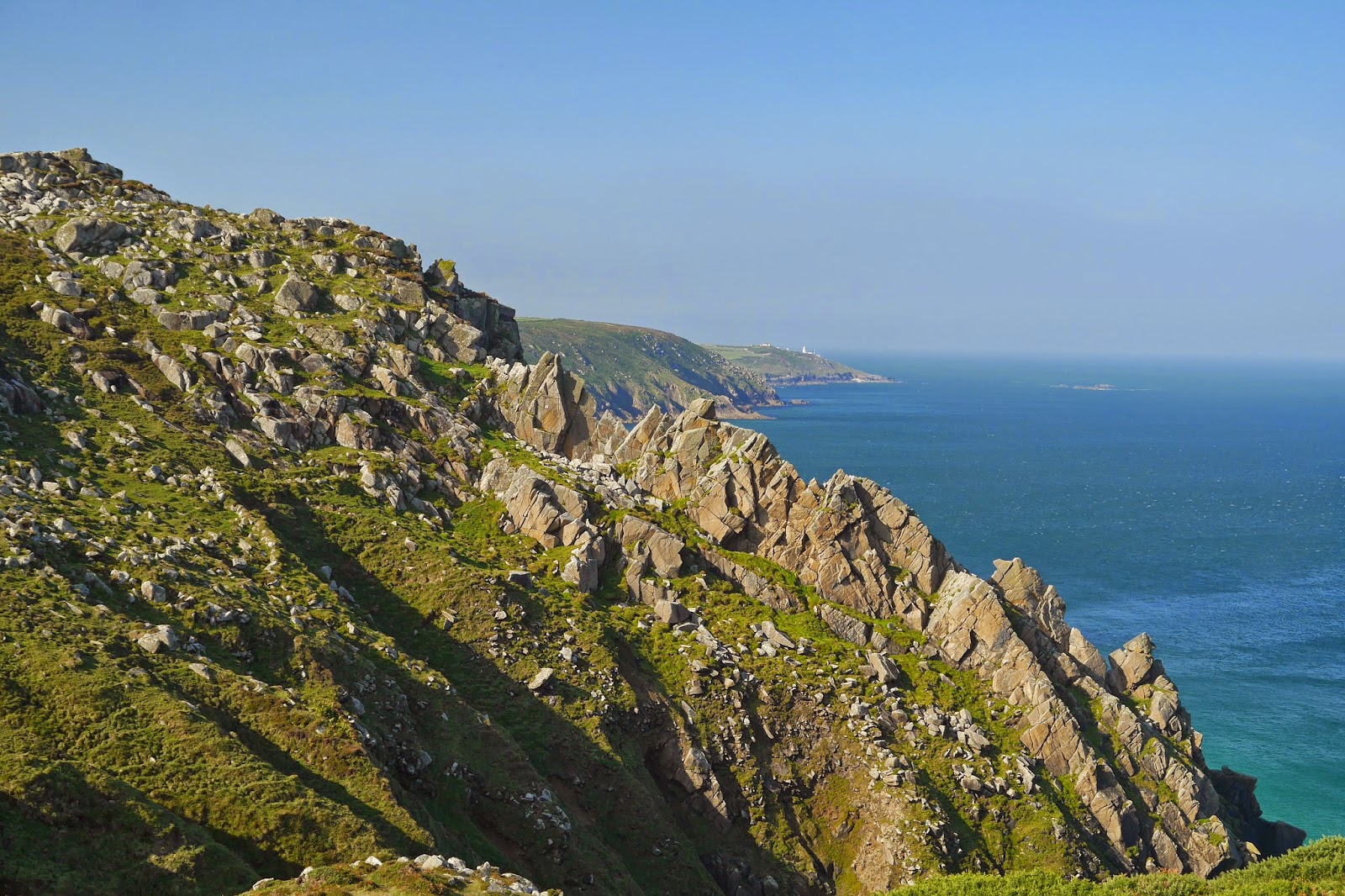
We resumed the Coast Path at Trevean Cliff and headed west across a wild and rocky hillside, soon encountering some wild ponies on the path

Bosigran Cliff was especially savage-looking. In the distant background Pendeen Watch remained visible.
A little further on, we were walking along a level cliff-top path when glancing down we saw half a dozen climbers on their way up a nicely angled cliff down at sea level.

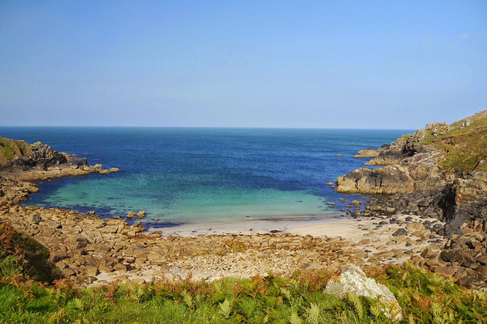
Shortly after this we descended to the isolated and very pretty Porthmeor Cove. At the back of the beach a large single slab of stone has been used to bridge the small stream stream that flows into the sea here.
The next headland had another spectacular rock formation, vaguely suggestive of an enormous camel. I was disappointed not to find Camel Rock marked on the map.

Now we had reached the best-known feature of this section of coast, Gurnard's Head. The resemblance to the head of a gurnard is perhaps not completely obvious in this photo, which does however convey how stark and inhospitable it is.

Passing behind the head, we came to the wonderful sandy beach of Treen Cove, with what seemed to be ruined chapel on the hillside behind it. We were surprised to see a private house sitting just above the beach, an outpost of the hamlet of Treen just inland.

On the other side, the view back towards Gurnard's Head was spectacular, and perhaps the resemblance was clearer too.

Having cleared one more headland, we had a great view of Zennor Head, with the twin sandy beaches of Veor Cove and Pendour Cove before it.

It still took some while to reach Zennor as the path snaked inland and then right down towards sea level behind Pendour Cove, necessitating an arduous climb before reaching the path inland to Zennor. Here we had an excellent lunch in the very good Tinners Arms pub.
Conditions: warm and sunny
Grading: Severe. Very rocky with lots of climbs and descents.
Distance: 5.4 miles (distance now covered 391.2 miles.
Map: Explorer 102 (Land's End).
Rating: four stars.
No comments:
Post a Comment