
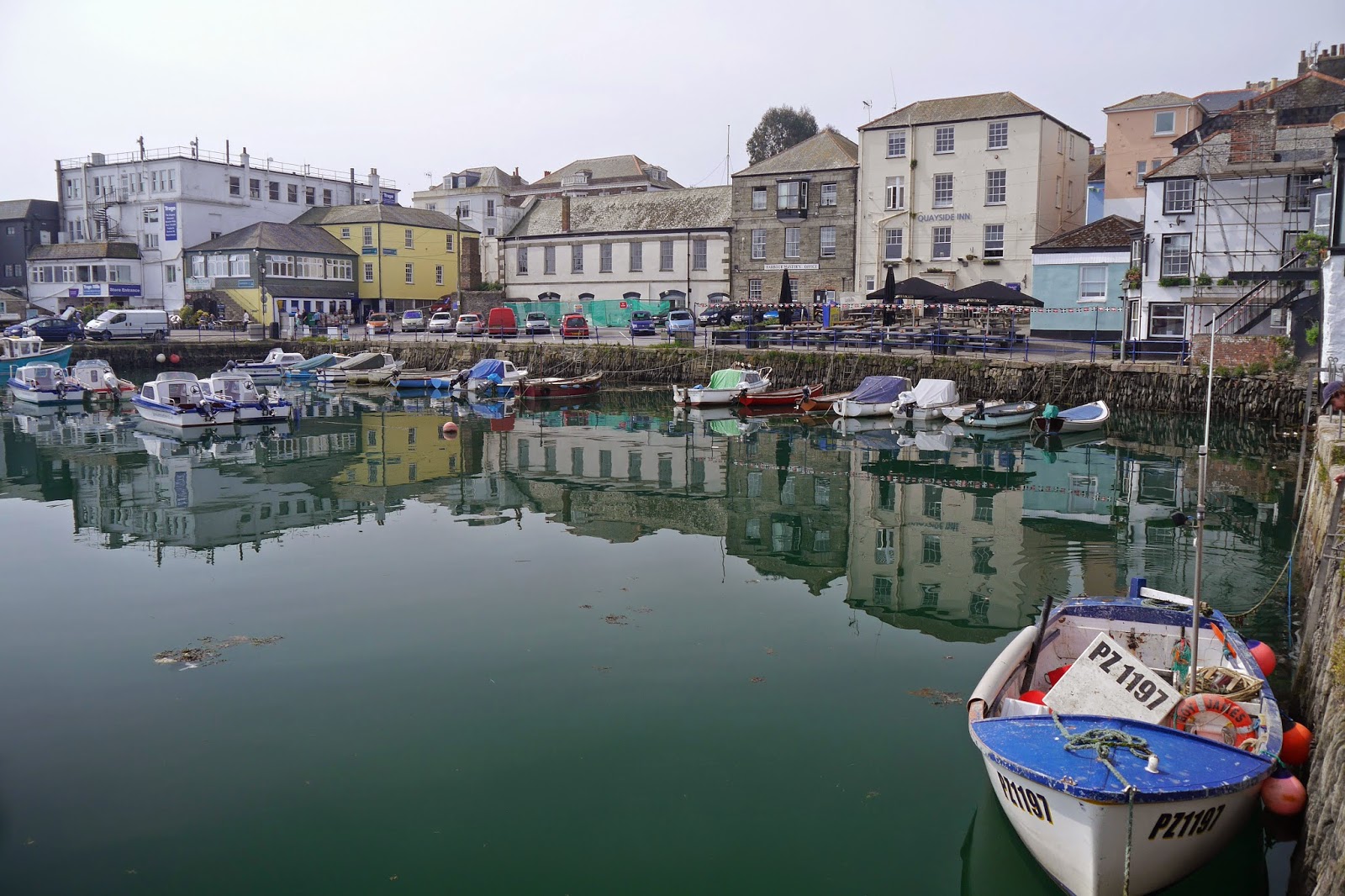
Penryn River
We resume the Coast Path at Falmouth's Prince of Wales jetty, with pleasant views up the Penryn River. We head through the town in the direction of Pendennis Head, pausing to see Customs House dock.
The former Customs House faces the street and is of a surprising Greek temple design from the early 19th century. It has a sadly abandoned air

We leave the surprisingly large town centre to pass the quite large docks and reach Pendennis Head. The whole area has signs of fortification. Nearest the water is a well-preserved blockhouse, looking across Carrick Roads to the white St Anthony lighthouse.

We continued along the road, soon coming to Falmouth's pleasant Gyllyngvase beach. Looking back as we walked along, you could see the round Pendennis Castle on its hilltop, but it was too hazy for a decent photo.
Round the headland was the sandy Swanpool beach, with the large Swan Pool across the road behind it. We glimpsed some swans on the the far side. Now the path became rural again and a flower-strewn path led us to the lovely beach at Maenporth.

This was about the halfway point and we had a light lunch at the excellent Cove Inn. The tide had mysteriously departed the shallow beach by the time we had finished.

We climbed High Cliff (not in fact too taxing) and enjoyed a hazy view back over a thick bed of Red Campion, definitely today's signature flower.

And soon there was a nice view forwards across Bream Cove to Rosemullion Head.

The path took us behind the Head into a truly delightful area of wide-open grassy slopes leading down to shallow cliffs overlooking rock ledges at sea level. Quite soon we had turned the corner to follow the north bank of the Helford River.
We crossed some lovely flower meadows at Bosloe - no butterflies, alas - and reached the hamlet of Durgan, with its former one-room Victorian schoolroom (1876) overlooking the river.

The Helford River presented the now familiar, but always attractive, picture of moored boats.

The river appears to an estuary at this point, but is in fact a drowned river valley or ria, caused by some long ago rise in sea level. A key characteristic of rias is that there is an estuary which is quite disproportionate to the size of the river flowing into it. A glance at the map reveals that this is clearly the case here.
Before long, the Helford Ferry, the Ferryboat Inn and the end of our walk were in front of us.

Conditions: mild but very hazy.
Grading: Moderate.
Distance: 9.9 miles (distance now covered 305.3 miles).
Map: Explorer103 (The Lizard).
Rating: three and a half stars.
No comments:
Post a Comment