
The Sugar Loaf
We met up with cousins Ruth and Jon to climb the Sugar Loaf.
We parked to the south-east of the mountain at Porth-y-parc and walked up a track gaining an immediate, but distant view of our target. At the top we entered an area of National Trust land called Parc Lodge and soon joined a sunken track bordered by oak trees in dappled sunlight, climbing all the while.

We emerged into a grassy field and then reached the bracken-covered approach to the Sugar Loaf and our first clear view. We walked up a grassy path, becoming rocky nearer the top and suddenly emerged on the long flattish summit.
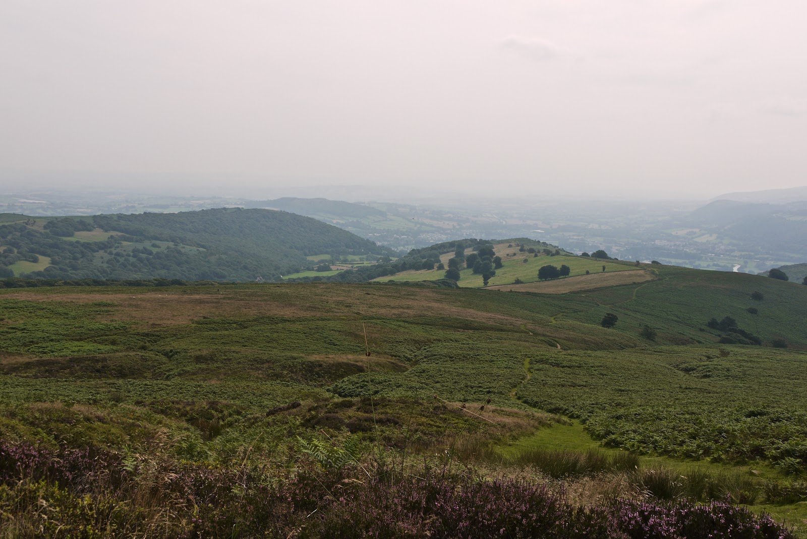
The views were spectacular, but much diminished by the heavy haze. This was the view back the way we had come, a rare patch of heather failing to enliven the foreground. Abergavenny and the river Usk can be dimly glimpsed in the distance.
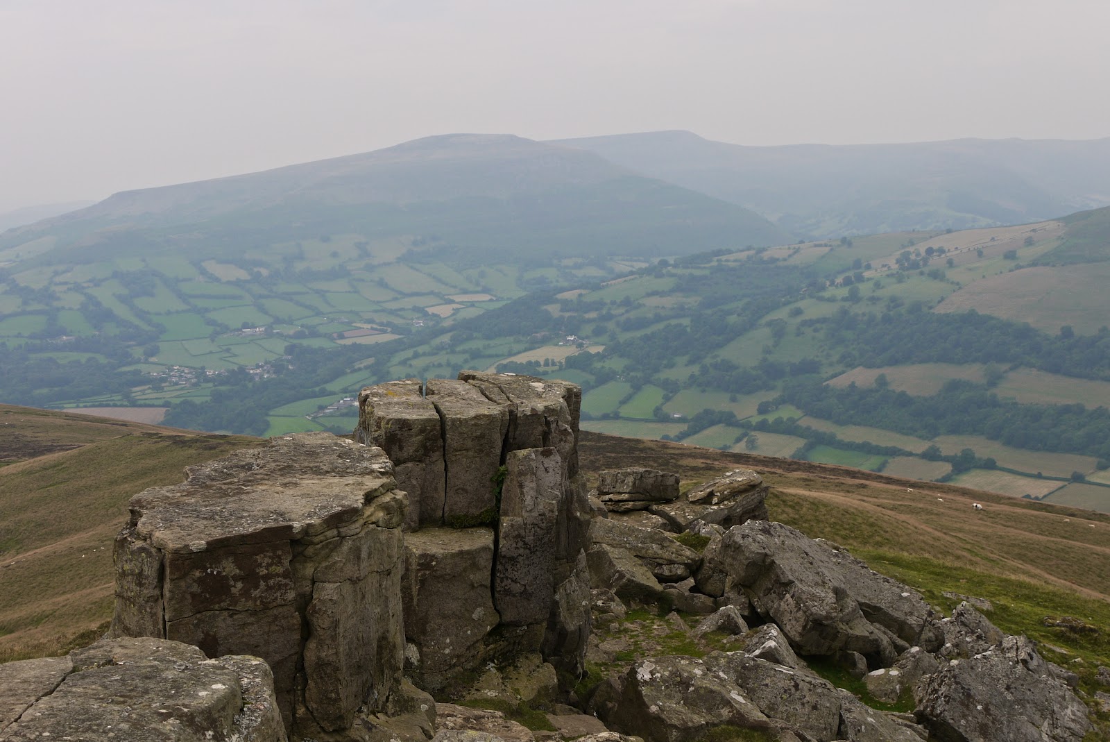
At the far (north-west) end of the summit, there was an impressive rock shambles and further hazy views towards both the Black Mountains and the Brecon Beacons.
After a break for lunch in the shelter of the rocks we descended the north face (ho, ho!) and followed another grassy track through the bracken, passing a pool with a couple of Emperor dragon flies engaged in a mating dance. A little further on we flushed some Grouse noisily into the air. Perhaps they knew the season was about to begin.
As we curved round to the east, the true nature of the summit became visible, with the initial slightly pointed view on the left and the rock shambles on the right.

We continued on, now heading south, and enjoyed clearer views of Ysgyryd Fawr (pronounced something like Skirrid) on our left. Ruth told us that it was also known as the holy mountain on account of a legend that the large land slip on the other side occurred at the exact moment of Christ's crucifixion. I expressed some scepticism about this - how did they know? The remains of St Michael's chapel lie just behind the summit.

We entered a forest of oak trees, all of a similar age, but with improved dappling compared to the earlier ones.

At an isolated house called Summer View we did a dog-leg back into the forest at a lower level and followed the contours until we reached another track higher up from the parking point. We descended to reach the car and enjoy one last view of Abergavenny. The Blorenge, our next project, just intrudes into the photo on the right.

Conditions: warm, hazy, windy at the top.
Distance: about 6 miles.
Map: Explorer OL13 (Brecon Beacons).
Rating: four stars.
No comments:
Post a Comment