
Seven Barrows
We are planning to start this year's onslaught on the South West Coast Path this weekend. Although we had a good walk in the Cotswolds on Sunday, I thought a decent midweek one would aid my preparation. So I decided to continue my solo project, the Wayfarer's Walk. Difficulty accessing where I ended up last time meant a back-and there approach made more sense than the there-and-back model I have been following. However, I will just describe the forward part.
By the time I picked up the route at Upper Woodcott Down, the already dull weather had worsened with low cloud, drizzle and poor light. I began the descent to cross the A34 at about 220m above sea level and walked across grassy meadows with abundant sheep to then take a muddy track, made the more difficult by large tractor wheel ruts, down to meet the A34 at 125m. Just before this point there is the area called Seven Barrows, which a a plaque reveals to be the place where the aircraft pioneer Geoffrey de Haviland flew a home-made plane in 1910. Three of the barrows can be made out in the photo above. Beacon Hill lies behind.
The map shows the Way continuing straight ahead, but the A34 here is a busy dual carriageway with a crash barrier in the middle and no central reservation. So I decided to follow the diverted path .6 of a km south to find an underpass and .6 back again to rejoin the route.
On the other side a narrow defile sloped upwards and I realised that I had come this way before on a walk from Burghclere in February 2009. This was quite significant because it was the moment when I first conceived the idea of doing the Wayfarer's Walk, even though at that point I didn't know where it went from or to. This is the view back to the west.

The route continued on a winding, climbing course past vast open fields and some woodland to pass a substantial cairn, with one of the ubiquitous pheasants silhouetted on the sky line, towards the left.

A bit further on, I reached the highest point - Ladle Hill at 232m. According to Wikipedia it is the best known unfinished iron age hill fort, but has never been excavated. It looked suitably enigmatic in the mist.

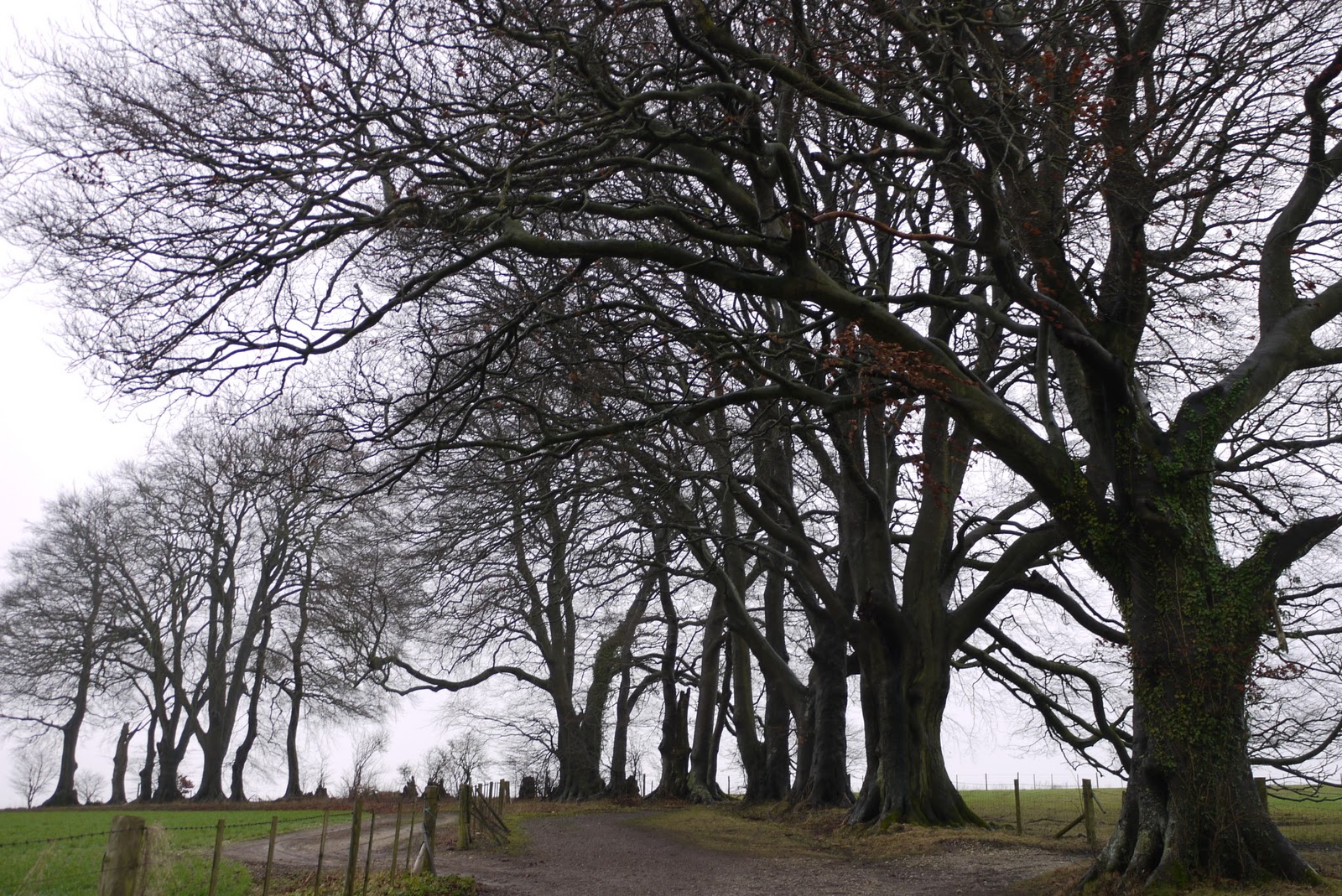
I now went across some fields and along a grassy ridge to regain a clear path bordered by some fine trees and return to my car parked at the lay-by at Nuthanger Down.
Conditions: low cloud, drizzle, but quite mild.
Forward distance: 5 miles, including the detour; distance now traveled 11 miles.
Map: Explorer 144 (Basingstoke, Alton and Whitchuch).
Rating: three stars. Would have been much more enjoyable in summer. This was walking just as exercise.
No comments:
Post a Comment