We can see Old Harry rocks in the distance from our base in Poole and this walk gave us the opportunity to see them close up. We drove to Sandbanks and took the chain ferry across to Studland bay and went on to Studland itself where we parked near the South Beach.
The route took us past the Norman church of St Nicholas.

Pevsner describes it as “one of the dozen or so so most complete Norman village churches”. He adds that the nave, tower and chancel are probably pre-Conquest, but rebuilt soon after.
From here you leave the village and walk along a sequence of tracks until you emerge on Godlingston Heath, part of the largest surviving area of heathland in Dorset. You climb up to Agglestone Rock, 17ft high and weighing over 400 tons.

There are fine views over the heath towards the Isle of Wight, Bournemouth ...

... and Poole.
You carry on over the heath and past a golf club to approach Ballard Down.

At the top the climb you swing left and there are fine views to the right towards Swanage.

You soon reach this rocket-shaped obelisk.

A helpful plaque explains that it was taken down during the war, for fear that it might provide a useful landmark for German planes, and rebuilt later, but its original purpose was not specified. It evidently serves as a comfortable place to settle down and read your book.
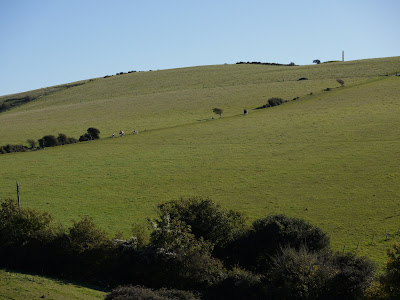
Going straight ahead from here you come onto the long ridge of Ballard Down, with fabulous views on all sides. The white chalk cliffs of the Isle of Wight are directly ahead as you approach Ballard Point.

Here the path swings a north east and as you approach Handfast Point, the first sea stacks appear in the chalk cliffs.

A little further on Old Harry rocks can be seen clearly for the first time. There is no consensus about why the rocks are so called: they may simply be named for the devil or more prosaically for Harry Paye, a celebrated Poole pirate. You continue along the South West Coastal path to return to Studland.
From: Dorset Walks (Pathfinder Guides).
Map: Explorer OL15 (Purbeck and South Dorset).
Conditions: sunny, about 12 degrees.
Distance: allegedly 6 miles, but nearer 7 according to my pedometer.
Rating: four and half stars. Great variety and fantastic views.

No comments:
Post a Comment